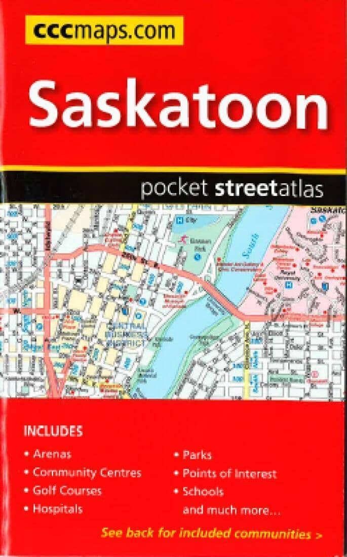
Saskatoon And Area Road Map | Canadian Cartographics Corporation Road Map

Road map of Saskatoon and surrounding areas | Canadian Cartographics Corporation

Price
Regular price $7.00
Regular price Sale price $7.00
Save $-7
/
  • Shipping within 48 business hours from our warehouse in the USA. For this product, customs fees may be requested by the carrier upon delivery.
  • Delivery costs calculated instantly in the basket
  • Free returns (*)
  • Real-time inventory
  • In stock, ready to ship
  • Backordered, shipping soon
Tax included.

Often purchased together:

Street maps from the MapArt / Canadian Cartographics Corporation / JDM Géo publishing group are generally produced at scales of approximately 1:25,000 to 1:35,000, with smaller towns often shown at more detailed scales. All maps include street indexes. Maps of larger cities generally include an enlargement for the city center. Maps grouping several small towns often have an overview map showing the entire area concerned. The maps include colors to indicate commercial, institutional, or industrial uses, etc. Main traffic axes are highlighted, and one-way streets are marked. A series of symbols indicates, as appropriate, parking lots, bus terminals, subway and/or railway stations, various public facilities and services, places of interest, recreation centers, etc. Map legends for cities and towns in the French-speaking part of the country are sometimes in French only.


ISBN/EAN : 9781554861699
Publication date: 2017
Folded dimensions: 9 x 5 inches / 22.9 x 12.7 cm
Unfolded dimensions: 39 x 27 inches / 99.1 x 68.6 cm
Language(s): English
Weight: 1.7 oz

Customer Reviews

Be the first to write a review
0%
(0)
0%
(0)
0%
(0)
0%
(0)
0%
(0)