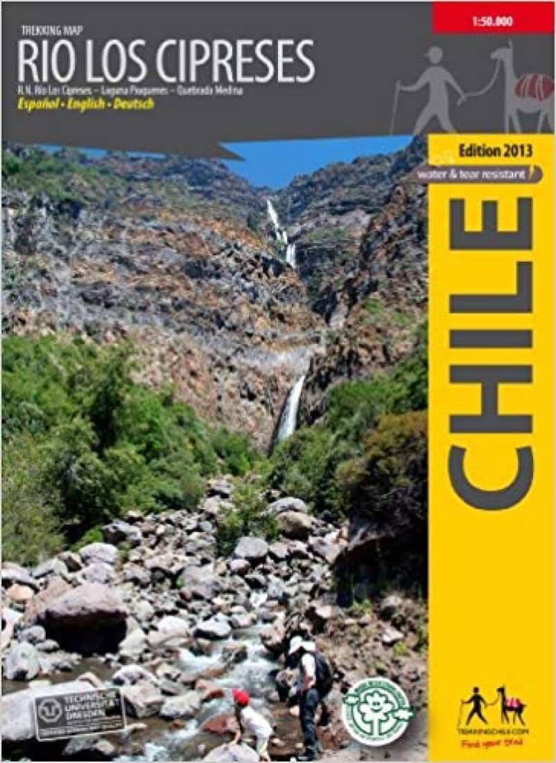
Rio Los Cipreses - Chile : Trekking Map | Trekking Chile Hiking Map

Rio Los Cipreses - Chile: Trekking map | Trekking Chile

Price
Regular price $29.00
Regular price Sale price $29.00
Save $-29
/
  • Shipping within 48 business hours from our warehouse in the USA. For this product, customs fees may be requested by the carrier upon delivery.
  • Delivery costs calculated instantly in the basket
  • Free returns (*)
  • Real-time inventory
  • In stock, ready to ship
  • Backordered, shipping soon
Tax included.

Often purchased together:

Hiking map of the Rio Los Cipreses National Reserve east of Rancagua, produced by the Institute of Cartography at the Technical University of Dresden. 1:100,000 overview map showing the entire reserve with Laguna Piuquenes and several 4,000-meter peaks, with El Palomo volcano being the highest at 4,860 m. 1:25,000 detailed map of the reserve's entrance area. GPS-compatible, with hiking routes, contour lines every 50 m, mountain huts, lodges, and campsites. Landscape photos and drawings of local wildlife. English - German - Spanish.


ISBN/EAN : 9789568925260
Publication date: 2014
Unfolded dimensions: 21.26 x 14.17 inch / 54 x 36cm
Language(s): English Spanish
Weight: 80 g

Customer Reviews

Be the first to write a review
0%
(0)
0%
(0)
0%
(0)
0%
(0)
0%
(0)