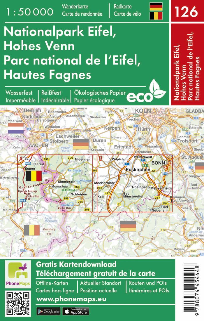
Road map of North Rhine-Westphalia, Cologne and the Ruhr published by Kümmerly Frey with the road network and tourist information.
The map highlights key areas of interest, including Hanover, Bielefeld, Dortmund, Cologne, Koblenz, and more.
With clearly marked, easy-to-read and up-to-date roads, a clear and modern map layout and high accuracy, this map is the perfect tool to make the most of your visit to this exceptional region.
This thematic map provides detailed information on localities and the road network connecting them. Whether you're traveling by car or motorcycle, you'll always find the right route thanks to clearly represented and well-structured motorways, main roads, secondary roads, and country roads.
ISBN/EAN : 9783259300244
Publication date: 2025
Scale: 1/275,000 (1cm=275km)
Printed sides: front
Folded dimensions: 25x13cm
Language(s): Multilingual including French
Weight:
82 g


