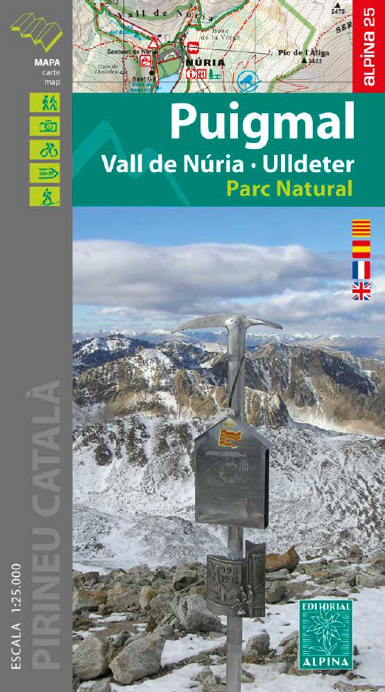
Puigmal's topographic map, Nuria Vall and Ulldeter published by Alpina with information of interest: marked trails (GR, PR), trails, climbs, via ferratas, shelters, shelters, etc.
Characteristics of the map:
• Scale 1: 25.000 (1 cm = 250 m) Map sector : Catalan Pyrenees. Valley of Ribes and high data - mce - fragment="1"> Valley of the TER (Ripollès).
The map is accompanied by a folder containing the following information:
• Curves spaced apart from 10 m
• Curves of main levels of 50 m
• Shaded relief
• GPS compatible
• Trail indication
• Refuges kept
• Routes
• Natural park information CAPACALERES DEL TER and FRESER
• Top15: Points of Interest
ISBN/EAN : 9788480908467
Publication date: 2020
Scale: 1/25,000 (1cm=250m)
Printed sides: front
Folded dimensions: 21 x 12.5cm
Unfolded dimensions: 98 x 68cm
Language(s): French, English, Catalan, Castilian
Weight:
170 g


