Point Reyes North Trail Map | Tom Harrison Maps Hiking Map

Point Reyes North Trail Map | Tom Harrison Maps

Price
Regular price $8.00
Regular price Sale price $8.00
Save $-8
/
  • Shipping within 48 business hours from our warehouse in the USA. For this product, customs fees may be requested by the carrier upon delivery.
  • Delivery costs calculated instantly in the basket
  • Free returns (*)
  • Real-time inventory
  • In stock, ready to ship
  • Backordered, shipping soon
Tax included.

Often purchased together:

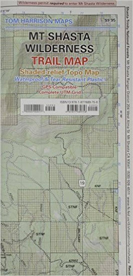
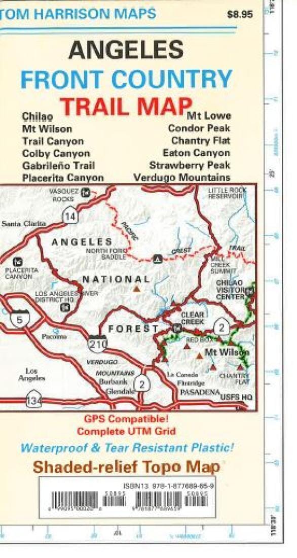
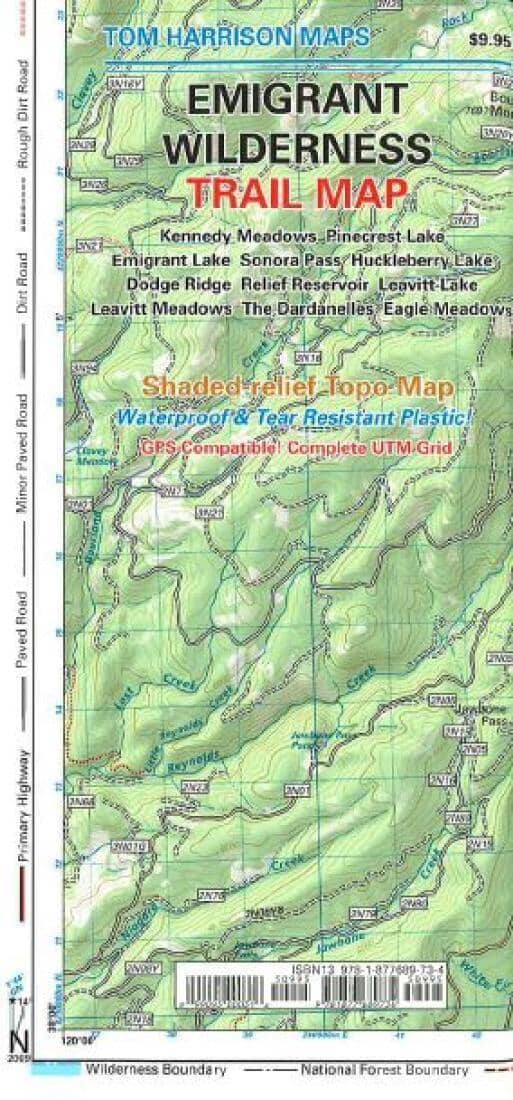
This Tom Harrison title provides topographic and hiking details for day hikes in and around Point Reyes North, including Pt. Reyes Lighthouse, Limantour Beach, Abbots Lagoon, Tomales Point, Drakes Estero, and Tomales Bay.

The map is GPS compatible with a complete UTM grid, waterproof, and tear resistant. It shows elevation via shading and 80 meter contour intervals.


ISBN/EAN : 99095000439
Publication date: 2007
Unfolded dimensions: 11 x 17 inches / 27.94 x 43.18 cm
Language(s): English
Weight: 10 g

Customer Reviews

Be the first to write a review
0%
(0)
0%
(0)
0%
(0)
0%
(0)
0%
(0)