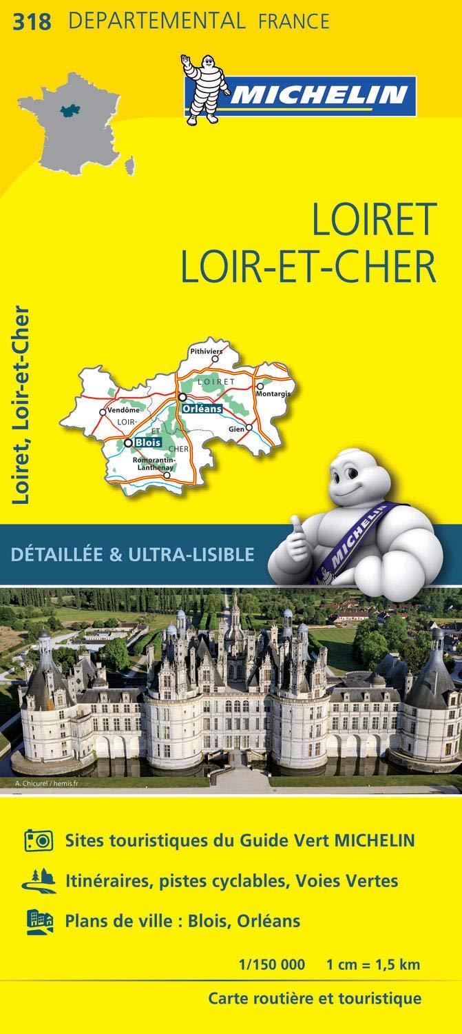
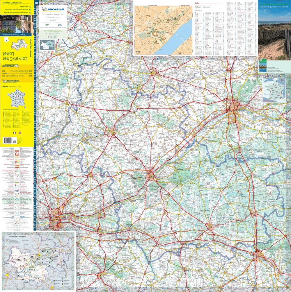
Explore the city map of Orléans and its surrounding areas with this large-format city map published by Blay Foldex. Ideal for visitors, residents, or professionals, this detailed map will guide you as you explore this must-see city at the heart of its region.
Orléans' city map captivates visitors with its rich heritage, vibrant urban life, and prime location. This city, steeped in history and looking to the future, is an ideal starting point for exploring the surrounding area.
A practical and ultra-comprehensive city map
This large-format Orléans city map consists of a detachable folded map and a detailed index booklet. It covers all streets with their names, major public buildings, practical infrastructure, and places of tourist interest.
You will find there in particular: the main historical sites, emblematic monuments, museums, gardens and tourist districts.
Thanks to its comprehensive index and easy readability, this map is the ideal tool for easily finding your way around the Orléans city plan and its neighboring towns, on foot, by bike or by car.
A must-have for preparing your stay or getting to know your city better!
ISBN/EAN : 9782309505899
Publication date: 2021
Pagination: 32 pages
Printed sides: both sides
Folded dimensions: 21.5 x 10 cm
Language(s): French
Weight:
120 g


