Plan de Londres & Carte du sud-est de l'Angleterre | ITM carte pliée ITM

London map & southeast map of England | ITM

London map & southeast map of England | ITM

Regular price $15.00
/
  • Shipping within 24 working hours from our warehouse in France
  • Delivery costs calculated instantly in the basket
  • Free returns (*)
  • Real-time inventory
  • In stock, ready to ship
  • Backordered, shipping soon
Tax included.

Large Detailed Plan of London, on the front, which shows the many museums, theaters, attractions and parks, as well as some of the hundreds of pubs that the city count.

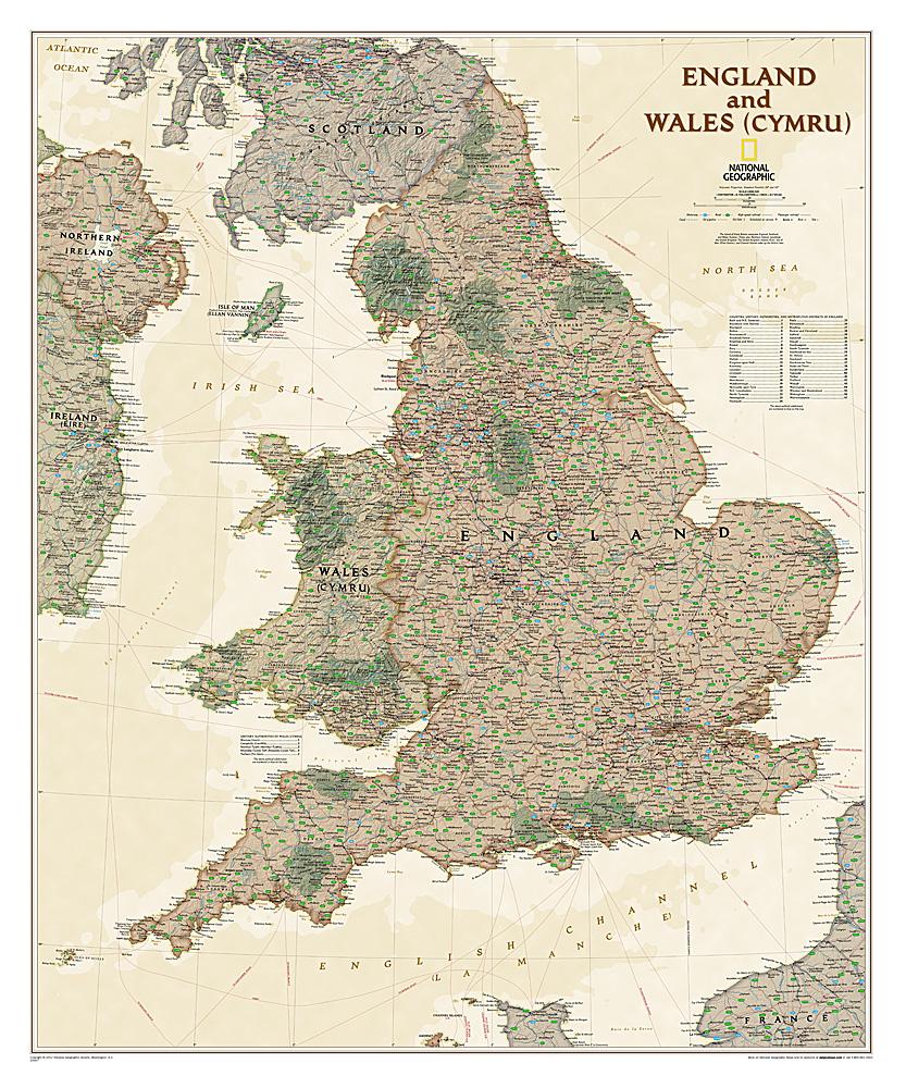
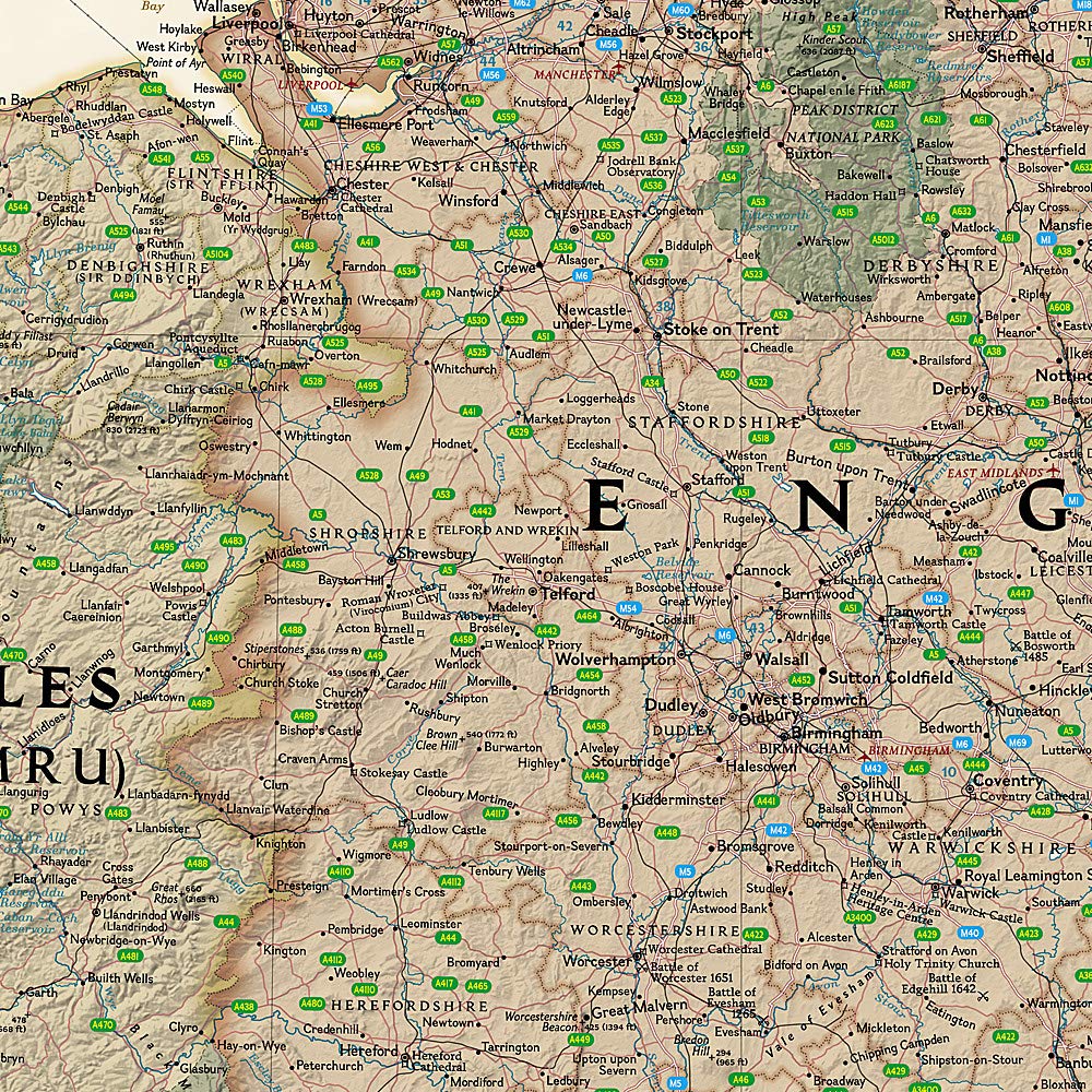
On the back, map of southern England including all cities easily accessible from London: Canterbury, Oxford, Norwich, Birmingham, Caste, and Lincoln. Indication of highways, main and secondary roads, as well as tourist attractions (castles ...). In an inset, map of the Anglo-Norman Islands.

This map is waterproof and resistant to the tear. Scale 1: 8,000 (1 cm = 800 m) and 1: 300,000 (1 cm = 3 km).


ISBN/EAN : 9781771294492
Publication date: 2017
Scale: 1/8000 (1cm=80m) & 1/300000 (1cm=3km)
Printed sides: both sides
Folded dimensions: 24.6 x 10.3 x 0.5cm
Unfolded dimensions: 100 x 68cm
Language(s): English
Poids : 74 g

Customer Reviews

Based on 1 review
100%
(1)
0%
(0)
0%
(0)
0%
(0)
0%
(0)
P
Philippe R.
Produit conforme , livraison très r ...

Produit conforme , livraison très rapide .... parfait !