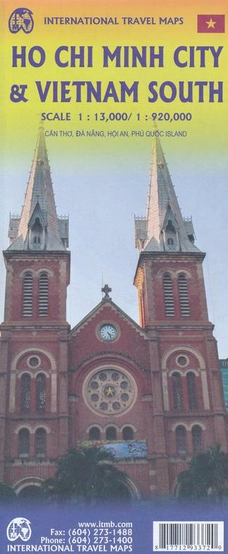
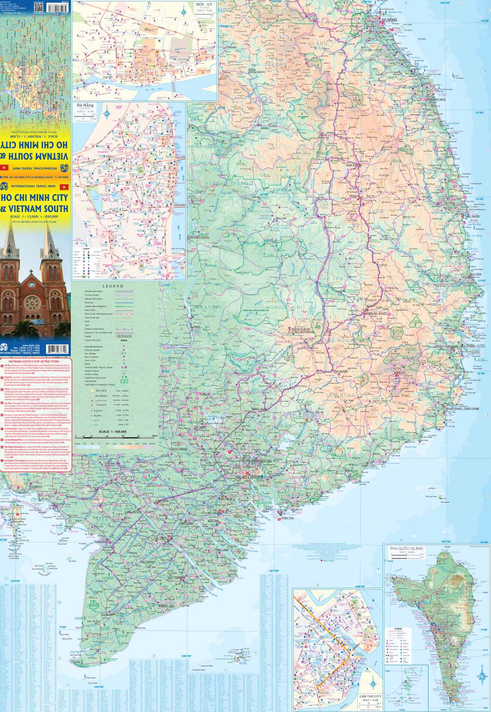
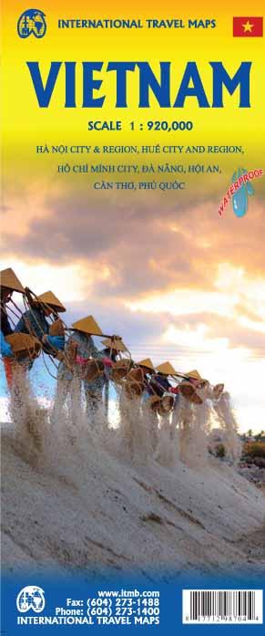
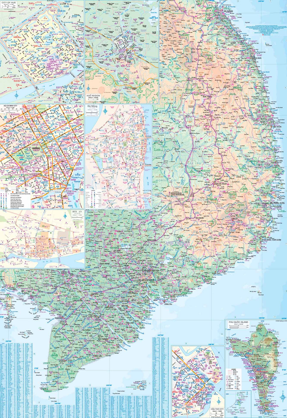
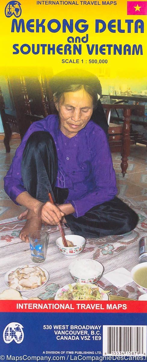
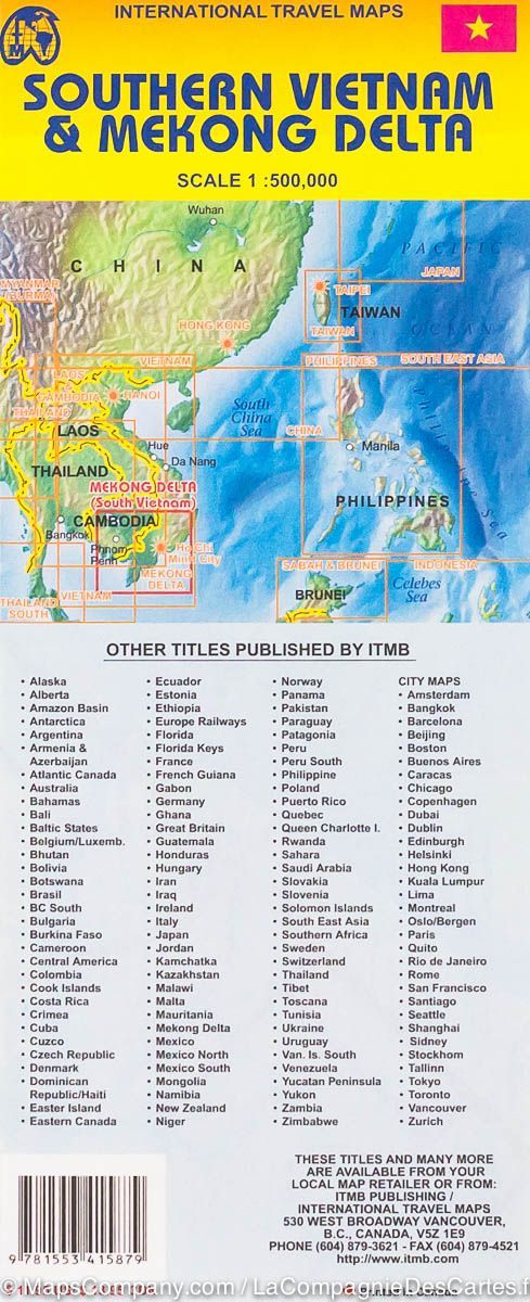
High detailed plan of Ho Cho Minh (Vietnam) published by ITM. On the back, road map of the southern Vietnam part which includes the Mekong Delta, one of the most interesting parts of the country, the mountainous region of Da Lat, the border with Cambodia, the seaside resorts of Nha Trang and the Historic village of Hoi An, south of da nang. The map also includes Can Tho inserts, in the middle of the Delta, Da Nang and Hoi An, as well as a detailed supervisor of Phu Quoc's tourist island.
Cartography of the True Index Town included.
The legend includes: International Borders, Province Borders, Railway with Station, Highway, Double Road, Main Road, Trail, Trail, Capital City, Province Center, International Airports, Interior Airports, Port, mining, point of interest, cave, beach, national park, etc.
ISBN/EAN : 9781771293372
Publication date: 2019
Scale: 1/13,000 (1 cm = 130 m) & 1/920,000 (1 cm = 9.2 km)
Printed sides: both sides
Folded dimensions: 24.6 x 10.3 x 0.5cm
Unfolded dimensions: 100 x 69cm
Language(s): English
Weight:
51 g


