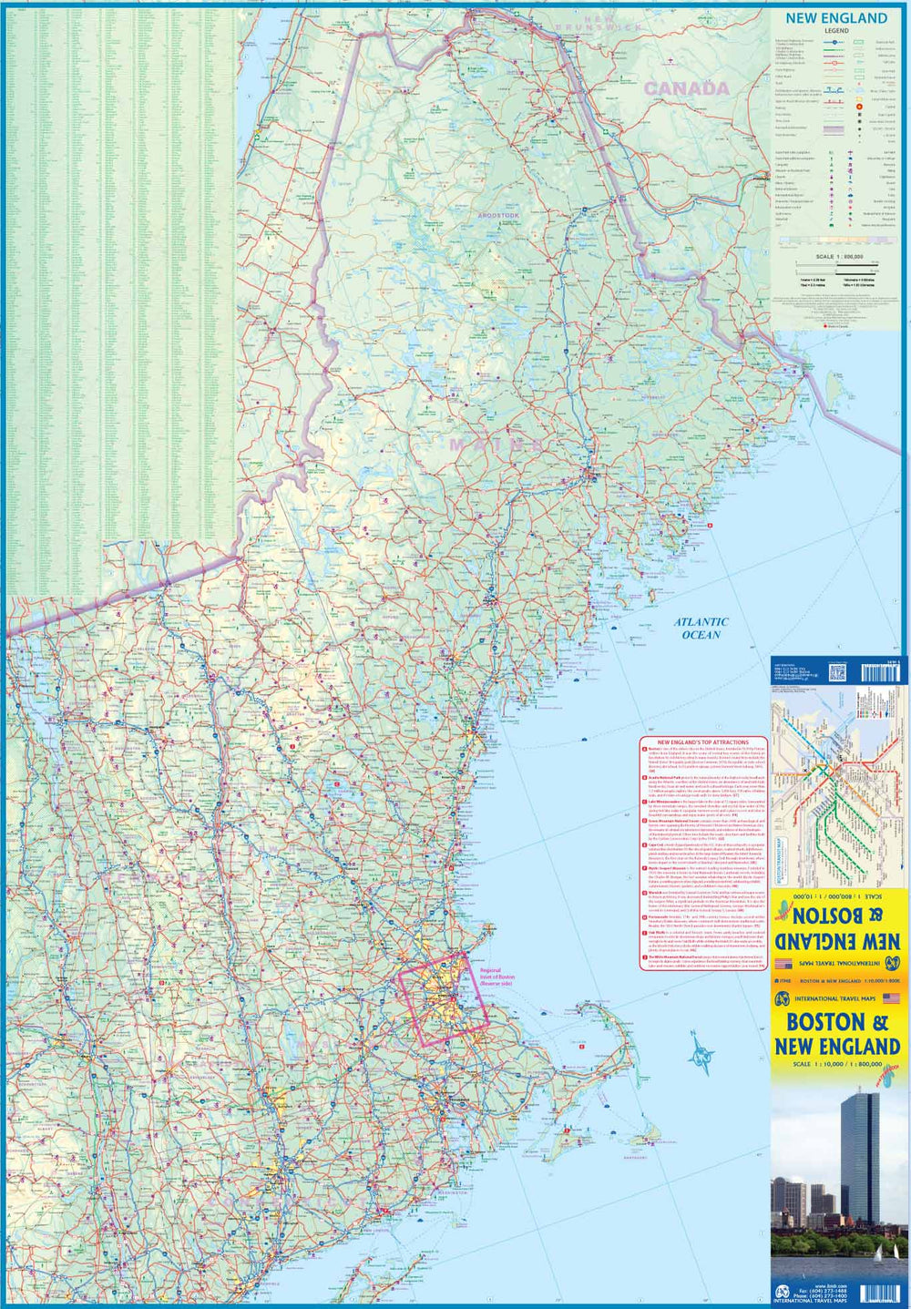
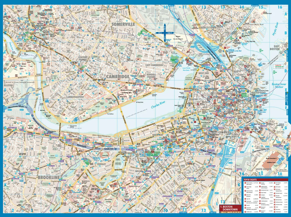
Boston's high detailed plan (with a public transport plan) on a 1/10,000 scale (1 cm = 100 m) on the front.
On the back, map of the new England on a 1/800,000 scale (1 cm = 8km), including the entire Boston region and ranging from Maine (north) to Philadelphia (south) to Montreal and Syracuse to the west.
Indication of national parks. Main distances shown on the map.
ISBN/EAN : 9781771290951
Publication date: 2019
Scale: 1/10,000 (1 cm = 100 m) & 1/800,000 (1 cm = 8 km)
Printed sides: both sides
Folded dimensions: 24.6 x 10.3 x 0.5cm
Unfolded dimensions: 100 x 68cm
Language(s): English
Weight:
77 g


