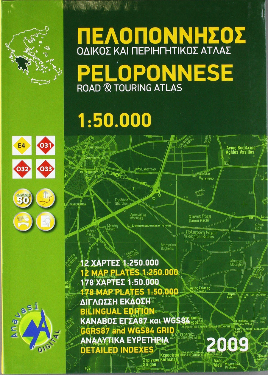
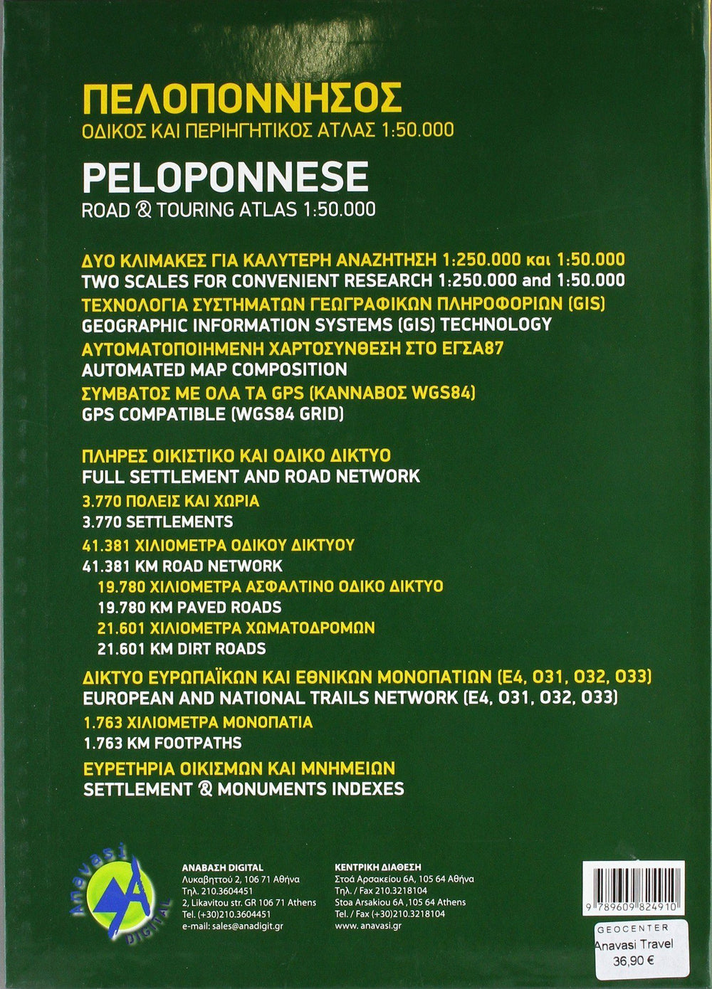
The main part of the atlas comprises 178 pages of detailed maps with expaceted levels of 100 m, a coloring according to the altitude and a shading of the relief to provide a living representation of the ground. Almost all the names (city and village) s, geographical peculiarities, etc., are given in Greek and Roman alphabets, with only minor local churches shown in Greek only. The names of most archaeological sites and many other places of interest are given in Greek and English.
The classification of roads has 10 different levels, toll motorways with minor land paths in poor condition and 4 - wheel drive tracks. The intermediate traffic distances are indicated on the main and secondary roads. The maps also indicate the locations of the service stations (with the names of oil companies) and tire repair centers.
Local hiking trails are also marked with the long trail trail trans - European e4 and routes 031, 032 and 033 highlighted. A wide range of symbols indicates the location of various places of interest, including accommodation (hotels, campsites, holiday camps, mountain refuges), archaeological sites, churches and monasteries, beaches, caves, views, views, etc. The maps have a 2 km UTM grid and latitude / longitude graduations. The legend of the map includes English. Two indexes, one for each alphabet, include separate sections listing archaeological sites and religious monuments. The Atlas also includes a 12 - page section showing Peloponnese at 1: 250,000 for a more general route planisphere. Two tables indicating distance and driving times between more than 60 locations are also included.
ISBN/EAN : 9789609824910
Publication date: 2009
Pagination: 237 pages
Scale: 1/50,000 (1cm=500m)
Folded dimensions: 24 x 33.9cm
Language(s): English, Greek
Weight:
300 g


