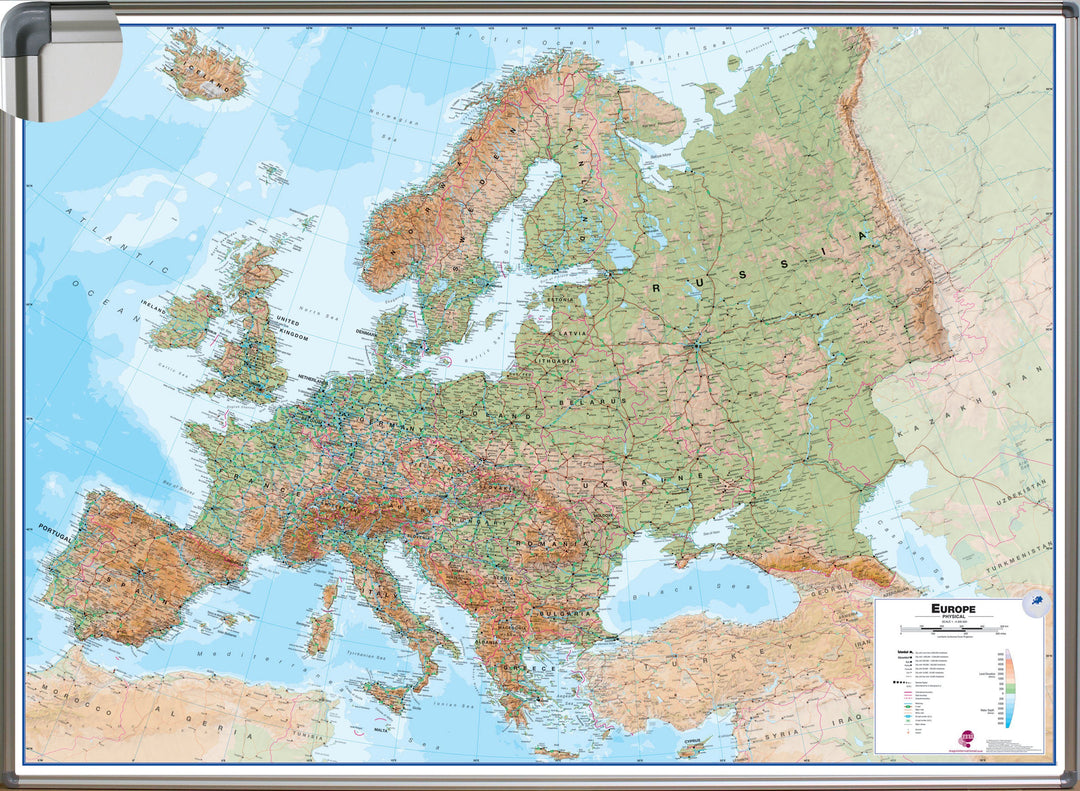
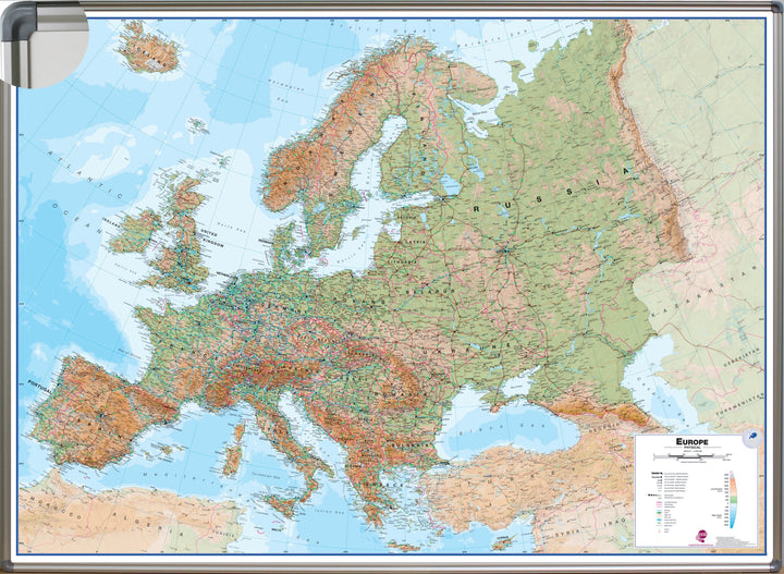
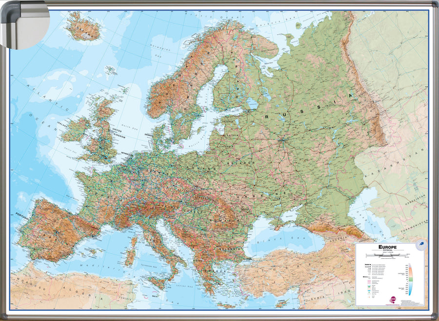
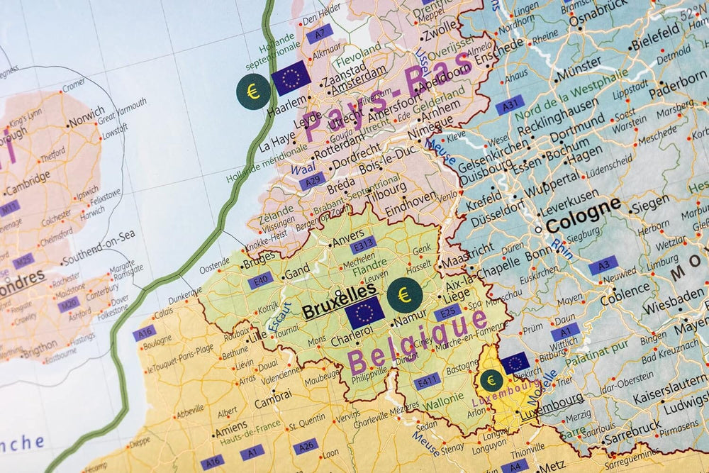
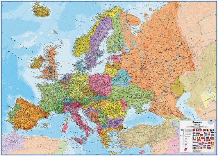
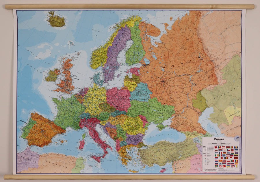
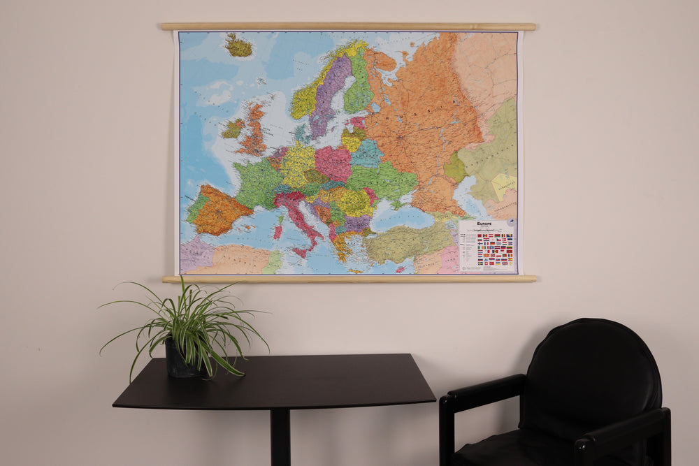
Pinse panel of physical Europe (in English). The European Informative Map at the scale of 1: 4,300 00 is beautifully colored and the physical relief is combined with the road network.
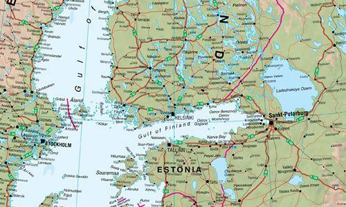
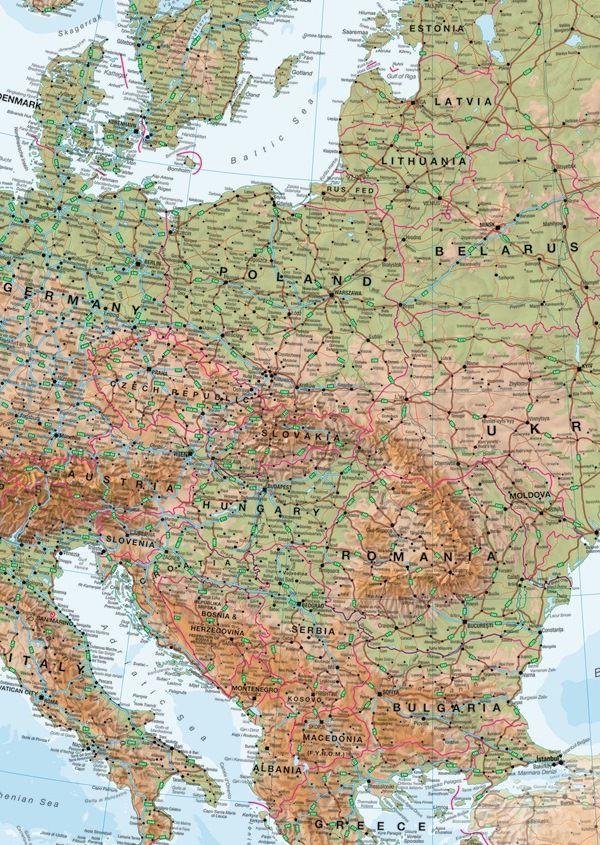
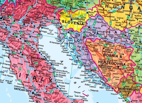
The names of the countries and the borders are clearly displayed. Symbols show capitals and big cities. The highways are clearly displayed with their numbering. The large rivers are also represented on this map. to note < Span Style = "Text - Decoration: Underline"> : An additional time of a few days is necessary for the manufacture and packaging of this panel.
The delivery is ensured by carrier.
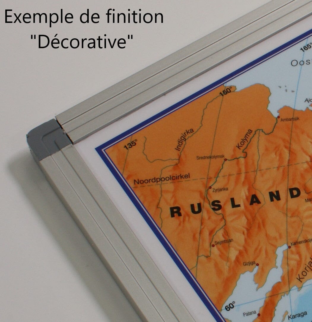
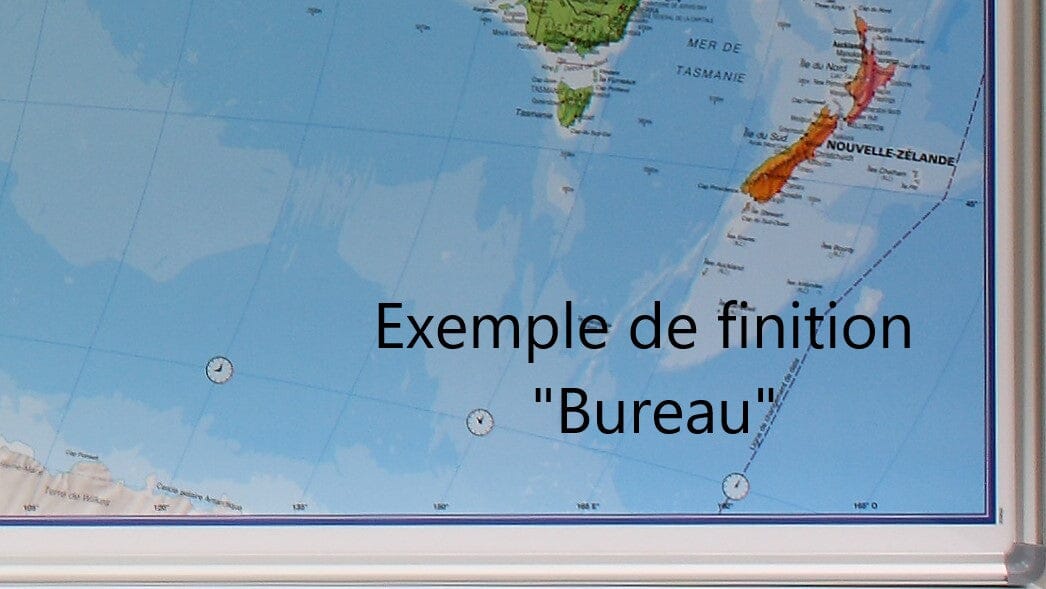
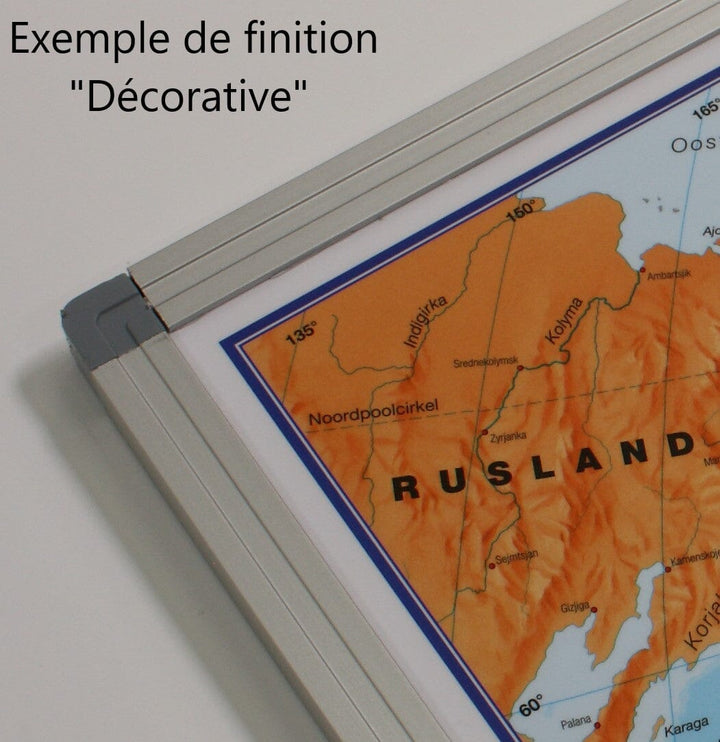
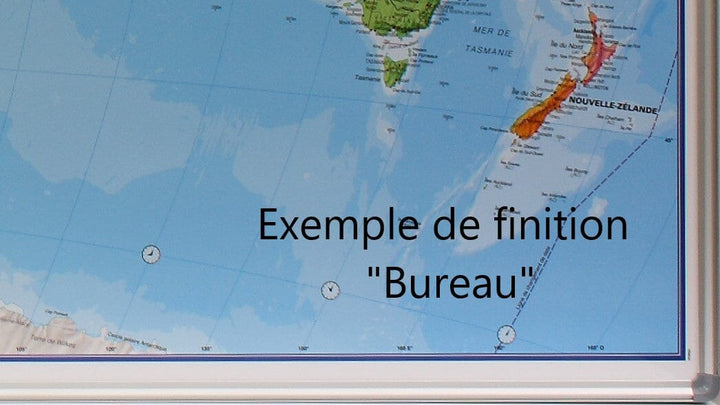
Manufacturing information : the map is glued on a plate of Polystyrene (kapamount) then laminatedized, allowing the use of dry felts and pins. The panel is finished in an aluminum frame with rounded gray color angles.
Dimensions: 136 x 98 cm .
ISBN / EAN : PR.IM.EN.EUR.PHYS
Date de publication : 2020
Echelle : 1/4,300,000 (1cm=43km)
Impression: front
Dimensions déplié(e) : 136 x 98cm
Langue : English
Poids :
3000 g


