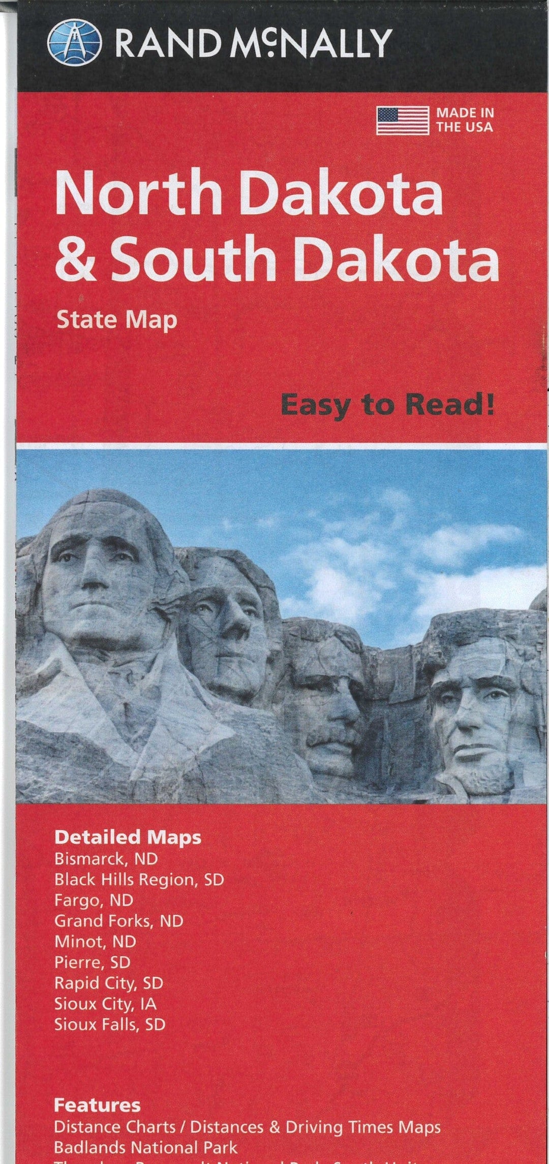
Dakota du Nord et Dakota du Sud, carte facile à lire | Rand McNally carte pliée Rand McNally

North Dakota and South Dakota, Easy-to-Read Map | Rand McNally

Price
Regular price $12.00
Regular price Sale price $12.00
Save $-12
/
  • Shipping within 48 business hours from our warehouse in the USA. For this product, customs fees may be requested by the carrier upon delivery.
  • Delivery costs calculated instantly in the basket
  • Free returns (*)
  • Real-time inventory
  • In stock, ready to ship
  • Backordered, shipping soon
Tax included.

Often purchased together:

Map of the state of North Dakota and South Dakota. Also includes additional maps of Bismark, the Black Hills region, Fargo, Grand Forks, Minot, Pierre, Rapid City, Sioux City, and Sioux Falls. Includes distance tables, driving distance and time maps, Badlands National Park, Theodore Roosevelt National Park-South Unit, and an index to cities and counties in North Dakota and South Dakota.


ISBN/EAN : 9780528028984
Publication date: 2021
Folded dimensions: 9.45 inches x 4.33 inches (24 x 10 cm)
Unfolded dimensions: 40.16 inches x 27.95 inches (102 x 70 cm)
Language(s): English
Weight: 1.9 oz

Customer Reviews

Based on 1 review
100%
(1)
0%
(0)
0%
(0)
0%
(0)
0%
(0)
B
Bob D.
Looks good - future use I have not ...

Looks good - future use
I have not used this product yet