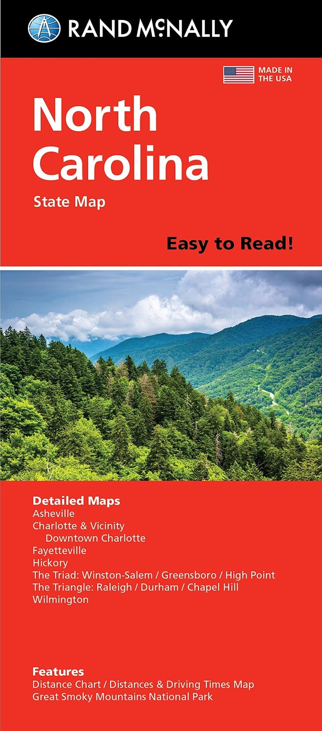
Caroline du Nord, carte facile à lire | Rand McNally carte pliée Rand McNally

North Carolina Easy to Read Folded Map | Rand McNally

Price
Regular price $11.00
Regular price Sale price $11.00
Save $-11
/
  • Shipping within 48 business hours from our warehouse in the USA. For this product, customs fees may be requested by the carrier upon delivery.
  • Delivery costs calculated instantly in the basket
  • Free returns (*)
  • Real-time inventory
  • In stock, ready to ship
  • Backordered, shipping soon
Tax included.

Often purchased together:

State map of North Carolina. Includes additional detailed maps of Ashville, Charlotte & Vicinity, downtown Charlotte, Fayeteville, Hichory : the triad: Winston - Salem, Greensboro, High Point : the triangle: Raleigh, Durham, Chapel Hill, Wilmington : featuring distance chart, distances and driving times map, Great Smoky Mountains National Park, city and county index.


ISBN/EAN : 9780528029103
Publication date: 2018
Folded dimensions: 9.45 inches x 4.33 inches (24 x 10 cm)
Unfolded dimensions: 27.95 inches x 40.16 inches (70 x 102 cm)
Language(s): English
Weight: 3.0 oz

Customer Reviews

Be the first to write a review
0%
(0)
0%
(0)
0%
(0)
0%
(0)
0%
(0)