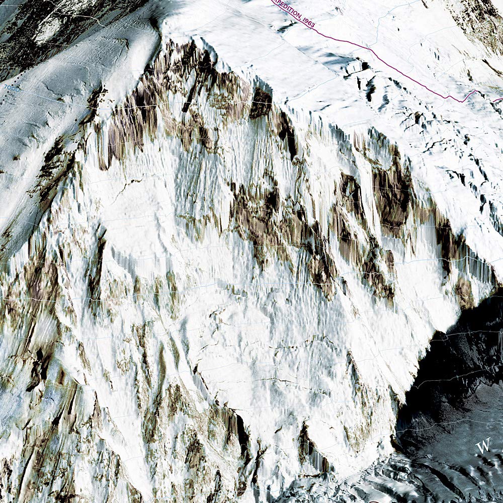
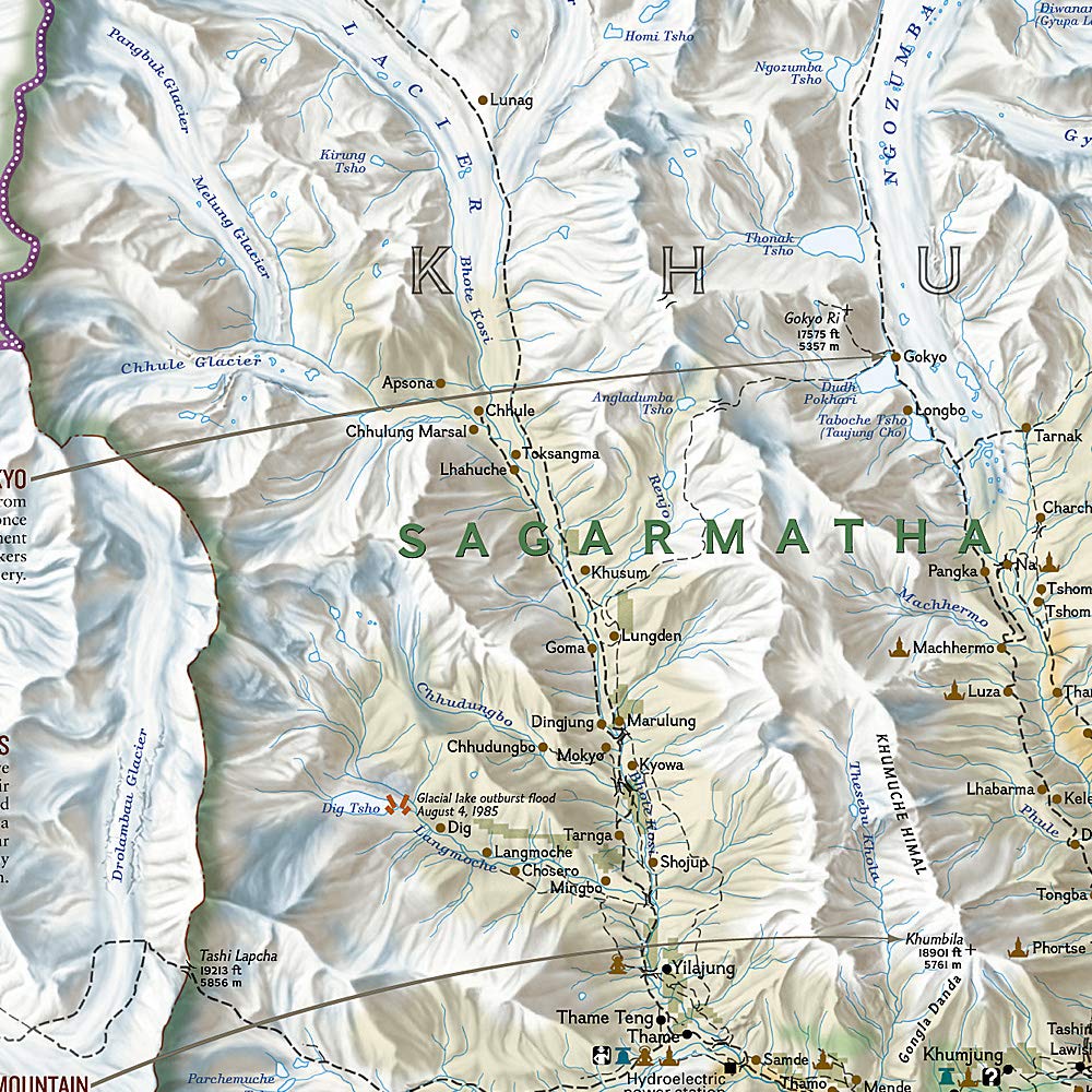

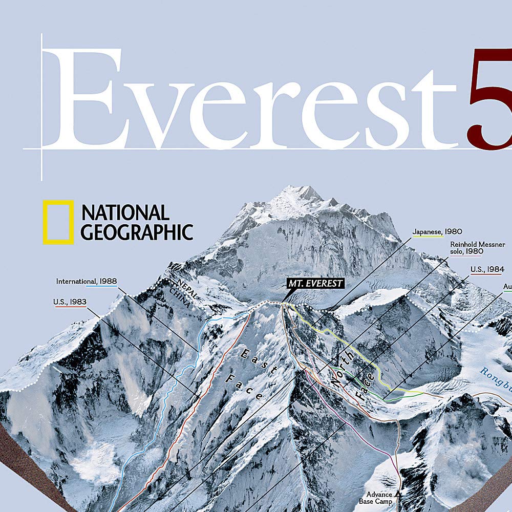

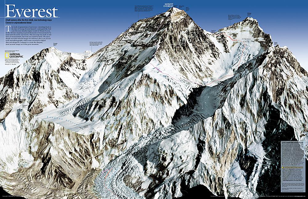
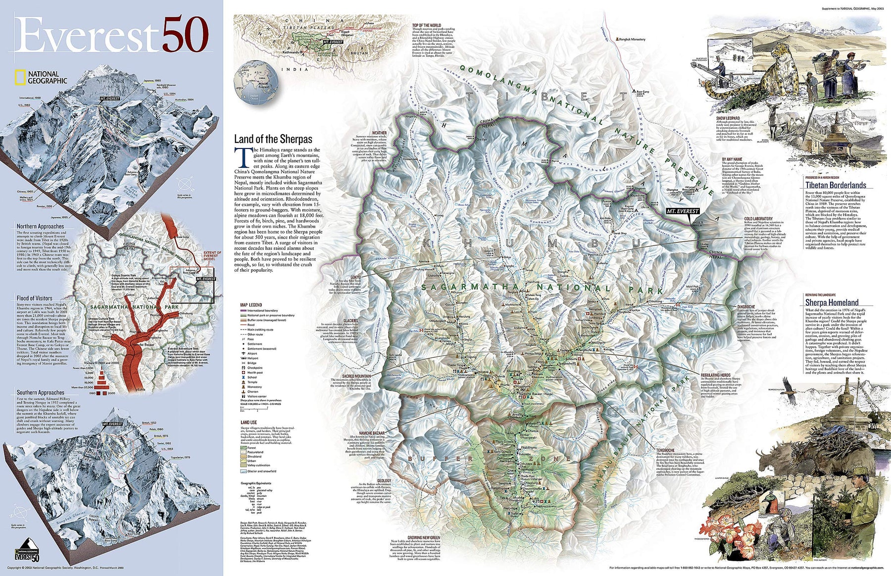


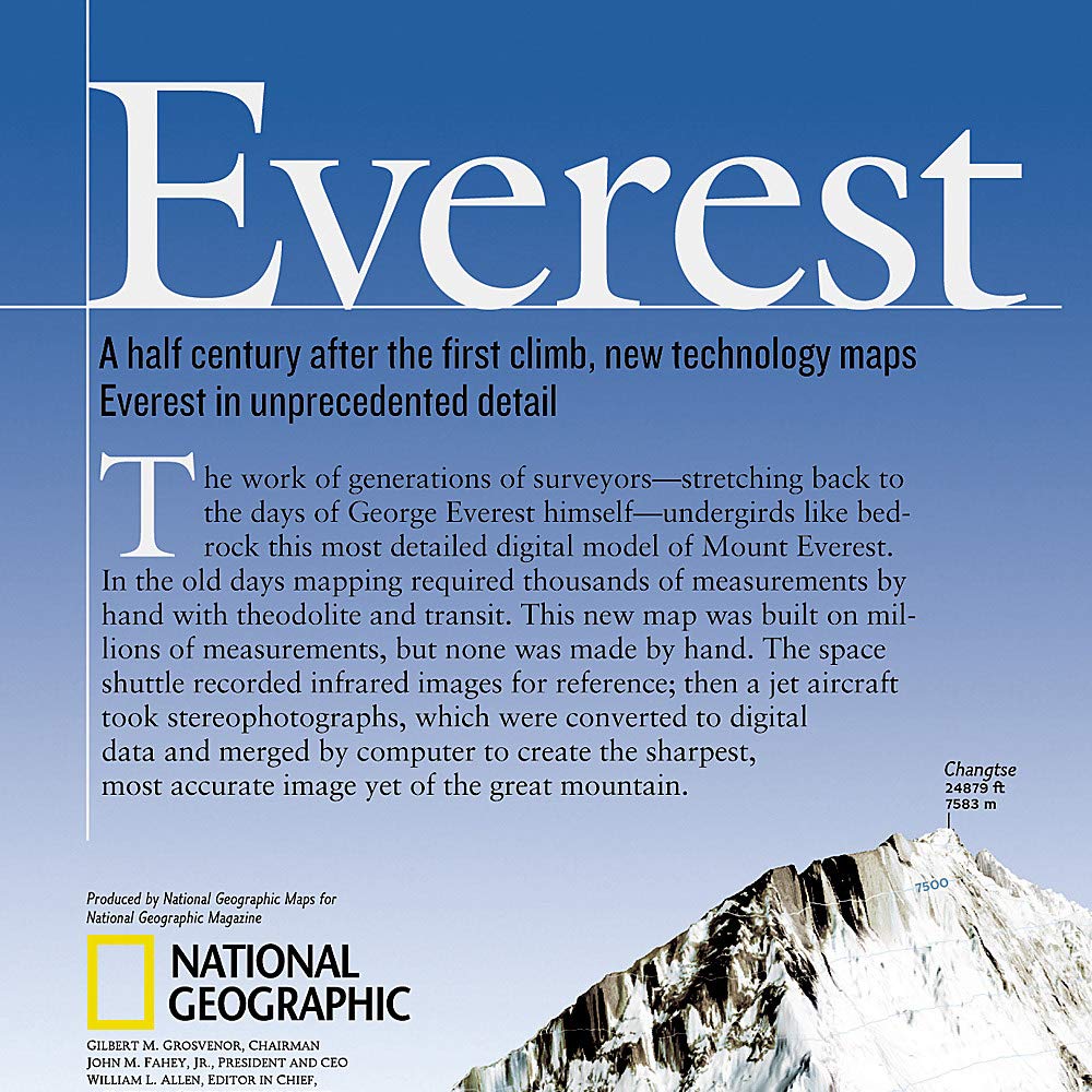

Wall Map - Mount Everest 50th Anniversary - 119 x 78 cm | National Geographic
Wall Map - Mount Everest 50th Anniversary - 119 x 78 cm | National Geographic
Regular price
$36.00
Sale price
$26.00
Save $10
- Shipping within 24 working hours from our warehouse in France (except laminated models)
- Delivery costs calculated instantly in the basket
- Real-time inventory
- Low stock - 3 items left
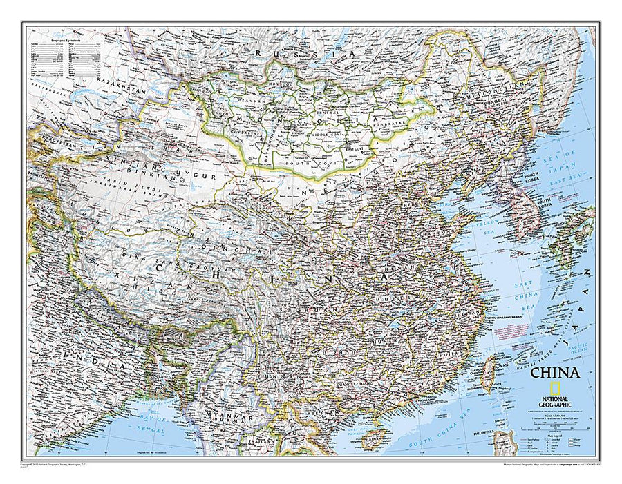
Related geographic locations and collections: Asia, Asia wall maps, Everest, Wall Maps