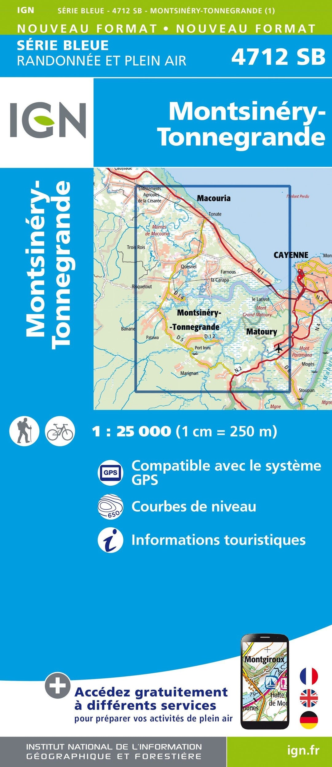
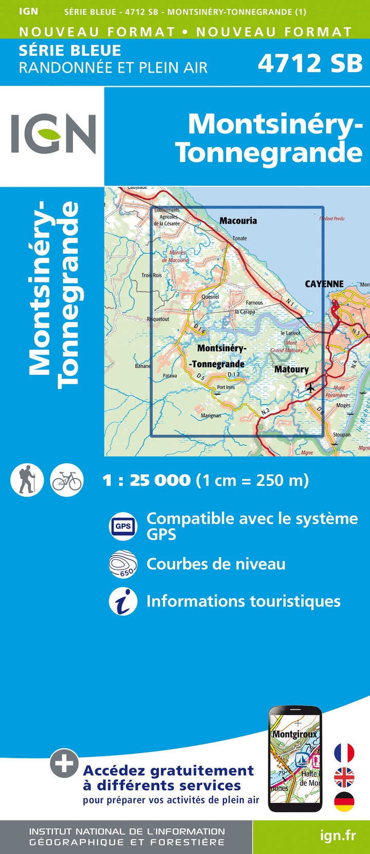
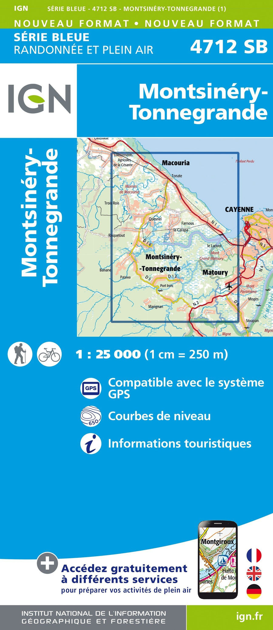
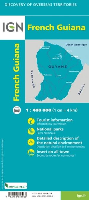
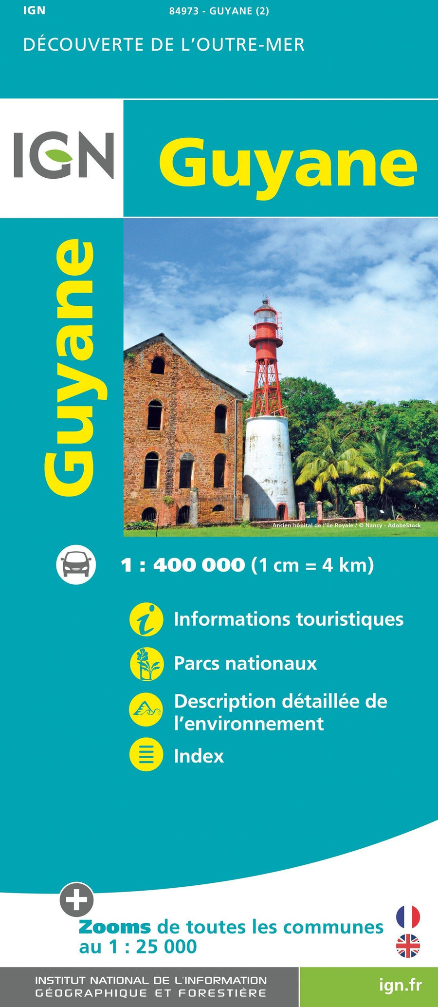
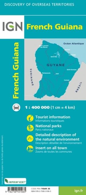
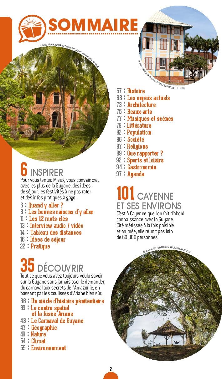
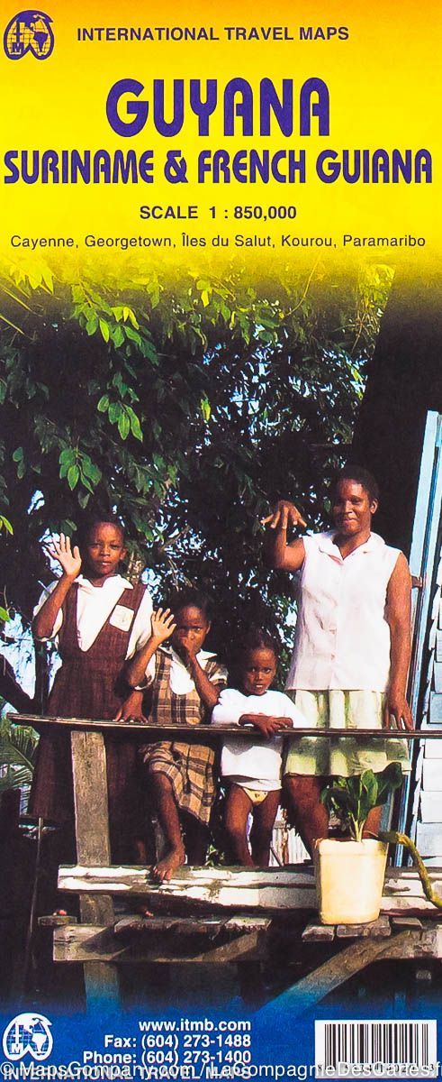
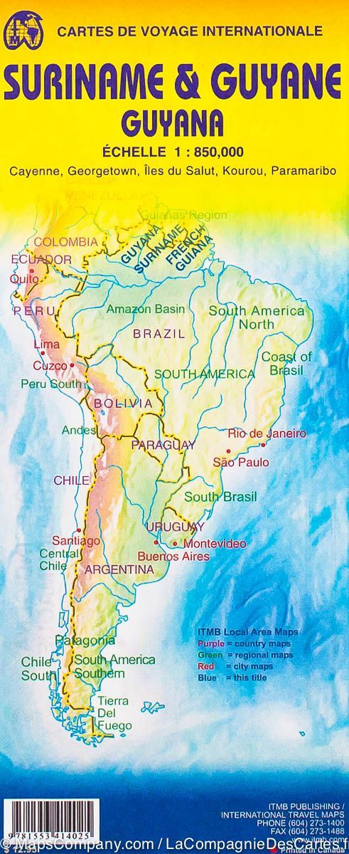
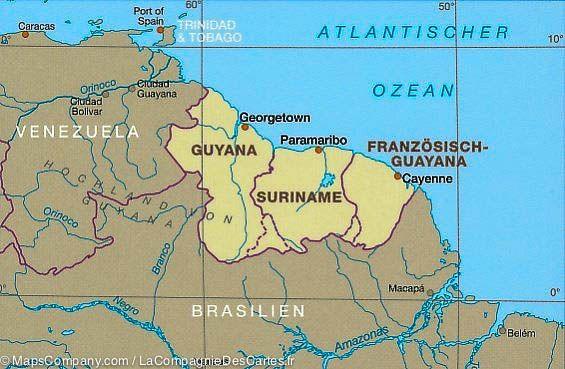
Topographic hiking map of the Montsinéry region and tongrande in Guyana.
The topographic maps of the IGN are of great precision contain all existing details on the ground: communication pathways to the slightest path, constructions to the hangar, wood, isolated tree, river , source etc. Not to mention the representation of the relief by level curves.
ISBN / EAN : 9782758549925
Date de publication : 2020
Echelle : 1/25,000 (1cm=250m)
Dimensions plié(e) : 22 x 11cm
Dimensions déplié(e) : 96cm x 132cm
Langue : French, English, German
Poids :
89 g


