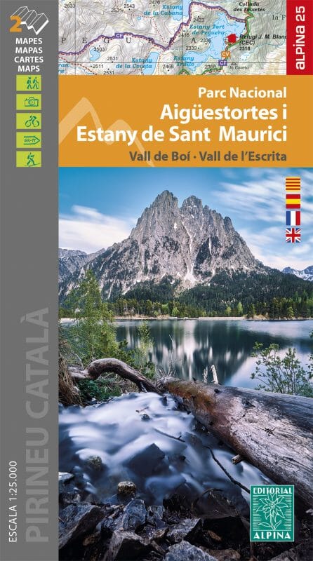
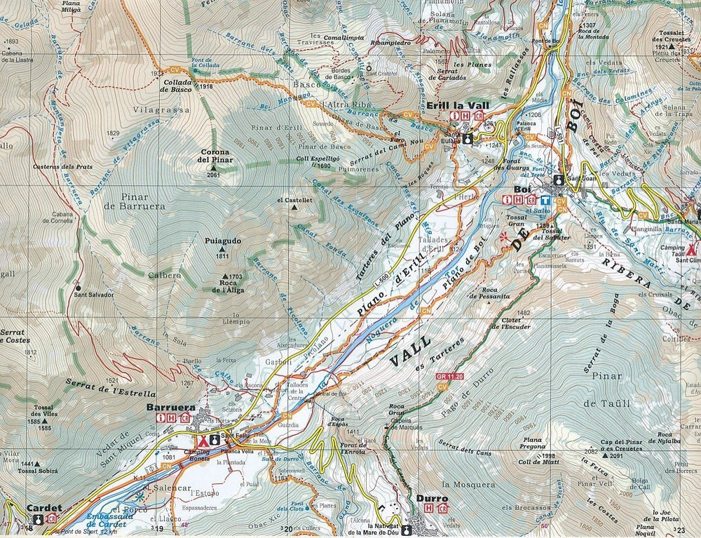
Set of 2 double - sided topographic maps of the Montserrat Natural Park. The maps are 1: 10,000 and 1: 5,000 level, and include interest information:
• Level curves every 10 m.
• Representation of vegetation + shading
• Trail network (GR, PR) and services • UTM coordinates
The Folder Supplied with the maps gives the following information:
datamce - fragment="1">
ISBN/EAN : 9788480908405
Publication date: 2020
Scale: 1/10,000 (1cm=100m) & 1/5,000
Printed sides: both sides
Folded dimensions: 21 x 11.5cm
Unfolded dimensions: 98 x 68cm
Language(s): English, Catalan, Castilian
Weight:
170 g
Discover also
View all


