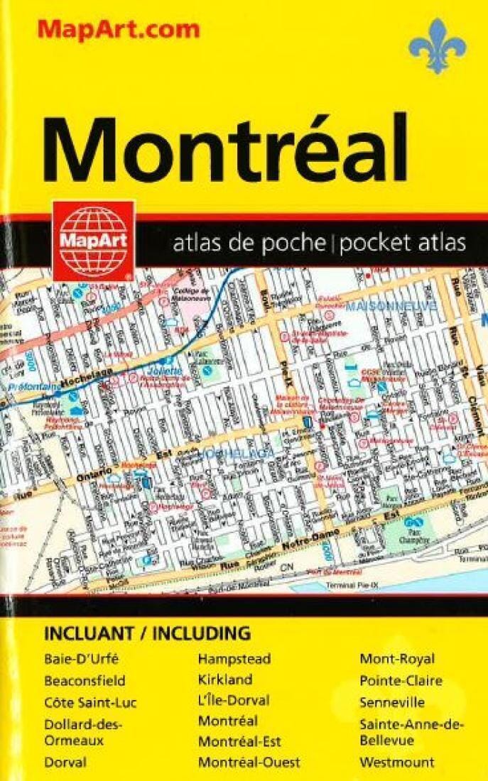
Montreal, Pocket Street Atlas, French/English Edition by Canadian Cartographics Corporation

Montreal, Pocket Street Atlas, French/English Edition | Canadian Cartographics Corporation

Price
Regular price $11.00
Regular price Sale price $11.00
Save $-11
/
  • Shipping within 48 business hours from our warehouse in the USA. For this product, customs fees may be requested by the carrier upon delivery.
  • Delivery costs calculated instantly in the basket
  • Free returns (*)
  • Real-time inventory
  • In stock, ready to ship
  • Backordered, shipping soon
Tax included.

Often purchased together:

This convenient, quick reference pocket atlas of Montréal packs a lot of information and still easily fits into a purse or pocket. It's got all the features to make even the unfamiliar areas easy to navigate. Features include: a regional map, city maps, places of interest, arenas, golf courses, shopping, schools, museums, cinemas, libraries, provincial parks, street index, and much more!

Communities included: Baie - D’Urfé, Beaconsfield, Côte Saint - Luc, Dollard - des - Ormeaux, Dorval, Hampstead, Kirkland, L’Île - Dorval, Montréal, Montréal - Est, Montréal - Ouest, Mont - Royal, Pointe - Claire, Senneville, Sainte - Anne - deBellevue, and Westmount.

French/English Edition


ISBN/EAN : 9781553681441
Unfolded dimensions: 4.72 x 7.48 inch / 12 x 19cm
Language(s): English
Weight: 3.5 oz

Customer Reviews

Be the first to write a review
0%
(0)
0%
(0)
0%
(0)
0%
(0)
0%
(0)