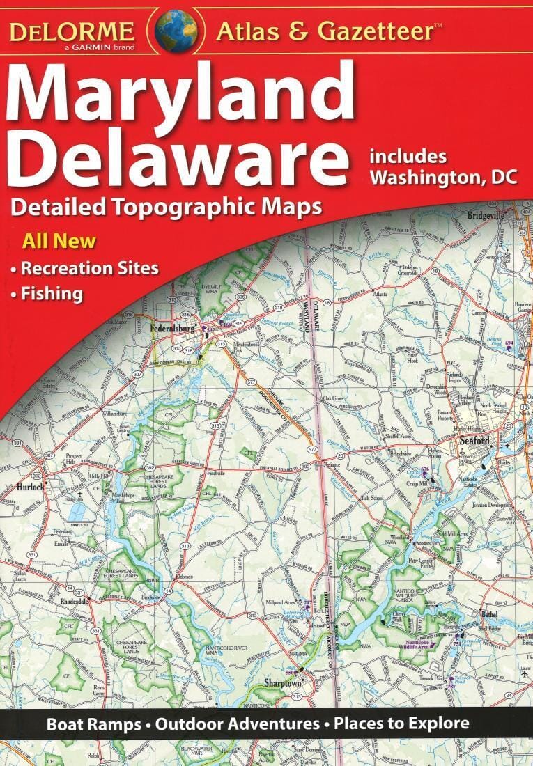
This spiral - bound Montgomery County, Maryland atlas is a full - color street atlas, including: Barnesville, Brookeville, Chevy Chase, Chevy Chase Section 3, Chevy Chase Section 5, Chevy Chase View, Chevy Chase Village, Gaithersburg, Glen Echo, Laytonsville, Martins Additions, Poolesville, Rockville, Someset, Takoma Park, and Washington Grove.
This map features information about airports, block numbers, colleges and universities, golf courses, MD Rail Commuter system, Metro Rail system, parks and rec areas, places of interest, regional maps, schools, and ZIP codes.
This atlas includes a 37 - page index and is printed in full - color.
ISBN/EAN : 9780762593477
Publication date: 2016
Unfolded dimensions: 11.02 inch / 28cm
Language(s): English
Weight:
310 g


![Appalachian Trail: Virginia, West Virginia, Maryland [Map Pack Bundle] | National Geographic carte pliée](http://mapscompany.com/cdn/shop/products/cartes-de-randonnee-appalachian-trail-virginia-west-virginia-maryland-pack-de-cartes-national-geographic-carte-pliee-national-geographic-980569.jpg?v=1694453800&width=900)


