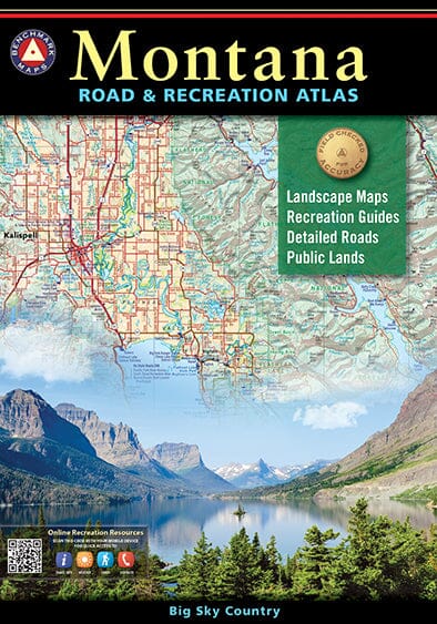
Montana Road and Recreation Atlas | Benchmark Maps atlas Benchmark Maps

Montana Road and Recreation Atlas | Benchmark Maps

Price
Regular price $31.00
Regular price Sale price $31.00
Save $-31
/
  • Shipping within 48 business hours from our warehouse in the USA. For this product, customs fees may be requested by the carrier upon delivery.
  • Delivery costs calculated instantly in the basket
  • Free returns (*)
  • Real-time inventory
  • In stock, ready to ship
  • Backordered, shipping soon
Tax included.

Often purchased together:

Benchmark's field checkers have logged thousands of miles to ensure the Montana Road & Recreation Atlas is the most accurate, comprehensive, and reliable mapping product ever published for Big Sky Country.

Landscape Maps:

- NEW base maps with land cover (vegetation)

- NEW detailed state and BLM maps and USFS private property boundaries

- Detailed road details, field-checked for accuracy

- Larger scales and map overlap from page to page

Recreation Guide

- Regional maps with public land ownership, hunting units, and point-to-point mileage

- Categorized listings for: - National Parks & Monuments - State Parks & Recreation Areas - Historic Sites & Museums - Camping, Cabins, & RV Parks - Fishing & Boating Access - Hunting Regions & Statewide Units 128 pages, saddle-stitched ;

Cover size: 16″x11″

Map scales: Recreation maps 1:800,000 1″ = 12.6 miles. Landscape maps 1:250,000 1″ = 4 miles.


ISBN/EAN : 9781734315073
Publication date: 2023
Pagination: 128 pages
Scale: 1/800,000 (1 cm = 8 km) & 1/250,000
Unfolded dimensions: 11 inches x 16 inches (27 x 40 cm)
Language(s): English
Weight: 20.0 oz

Customer Reviews

Be the first to write a review
0%
(0)
0%
(0)
0%
(0)
0%
(0)
0%
(0)