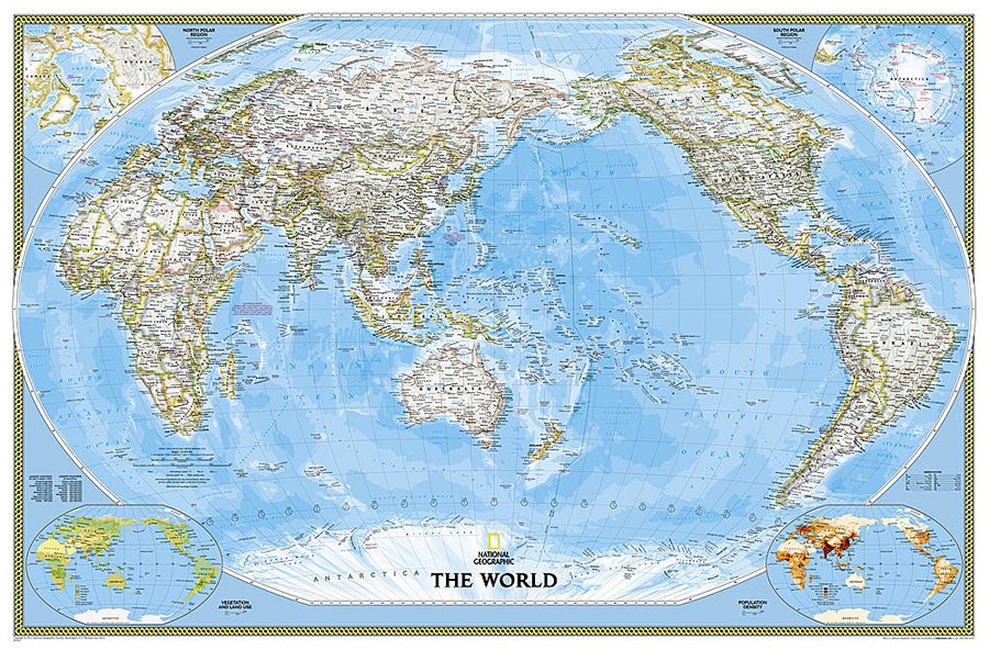
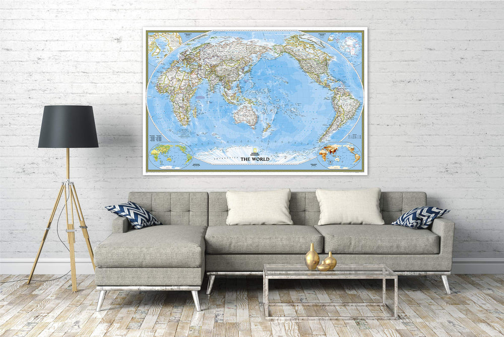
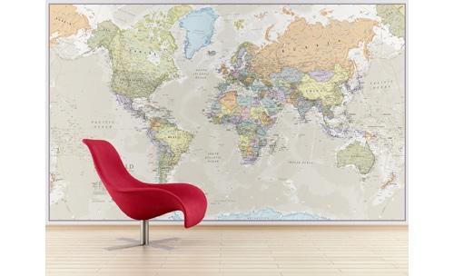
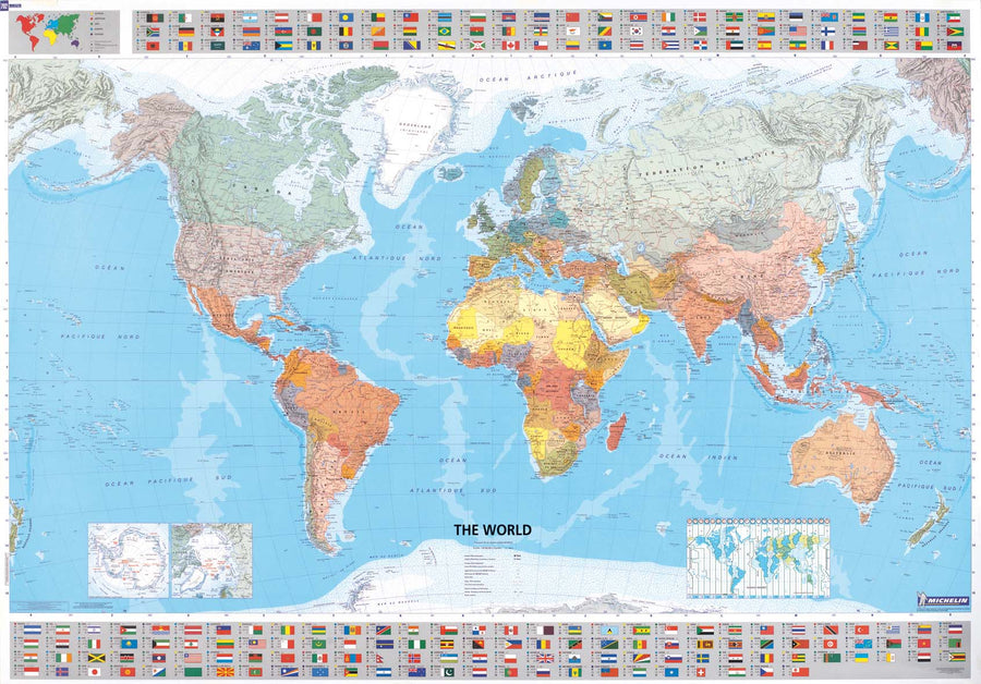
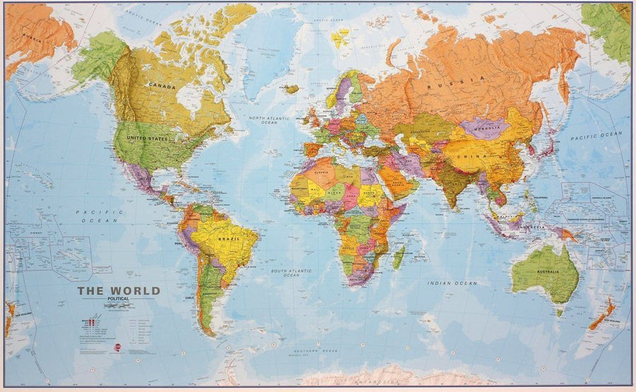
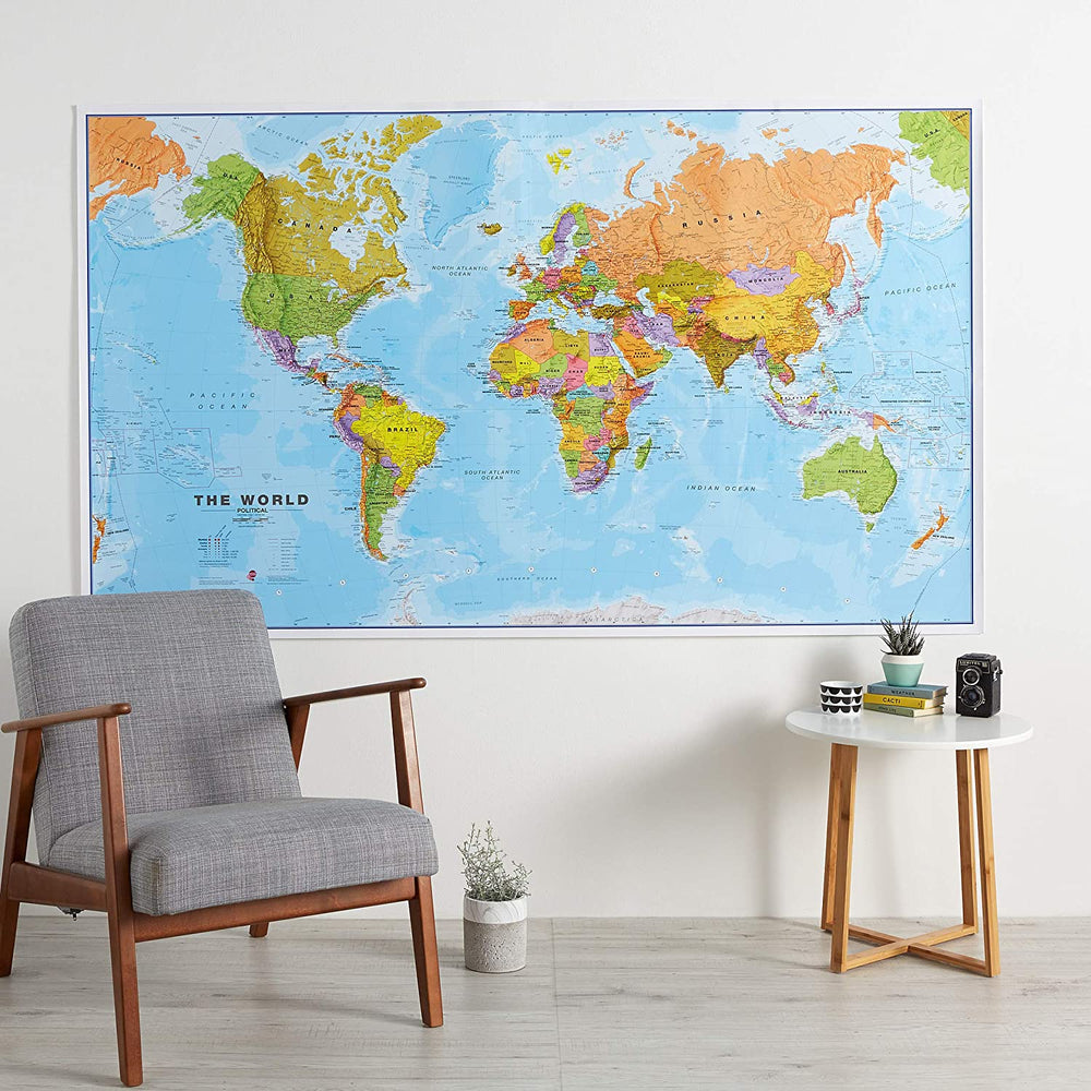
Mural of the political world centered on the Pacific of National Geographic.
This unique view uses a new cartographic projection to accentuate the Pacific around and shows Oceania and Asia in proportion to their actual size on earth. It places Oceania and Asia in the center of the image, while spectacularly showing all the width of the Pacific Ocean.
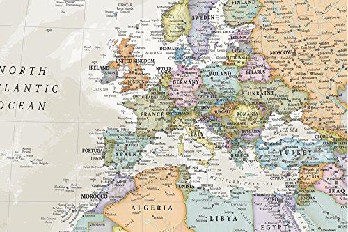
The Pacific world map presents a classical mapping of the National Geographic, with political boundaries, thousands of place names, time zones and special inserts showing the vegetation and the use of soil and density population. Note: The laminated map may apply for a few more days for its manufacture in our workshop. A slightly longer delivery time is therefore to be expected.
Delivered in a laminated protection tube.
exists in paper or laminatedized version.
Date de publication : 2018
Echelle : 1/22,000,000 (1cm=220km)
Impression: front
Dimensions déplié(e) : 185 x 122cm
Langue : English


