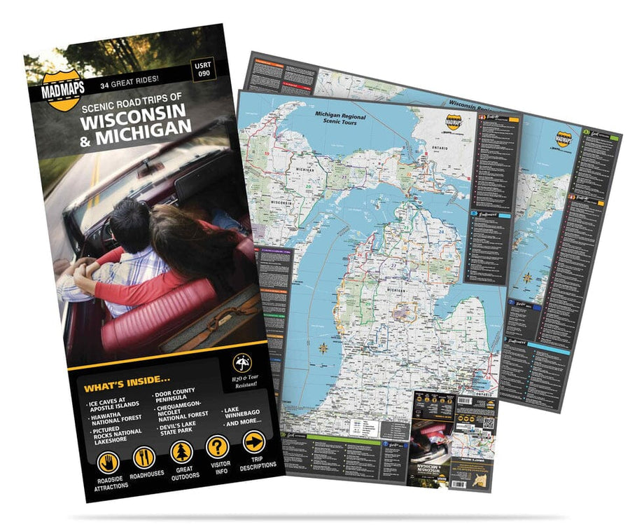
The Michigan Upper Peninsula fold map is a full - color, regional map, including the counties of: Alger, Baraga, Chippewa, Delta, Dickinson, Gogebic, Houghton, Iron, Keweenaw, Luce, Mackinac, Marquette, Menominee, Ontonagon, and Schoolcraft; and features: Airports, Golf Courses, Hospitals, Parks and Rec Areas, Places of Interest, and ZIP Codes
ISBN/EAN : 9780762592876
Publication date: 2018
Folded dimensions: 9.06 inches x 3.94 inches (23 x 10 cm)
Unfolded dimensions: 27.56 inches x 39.37 inches (70 x 99 cm)
Language(s): English
Weight:
2.2 oz


![Huron-Manistee National Forest [Map Pack Bundle] | National Geographic carte pliée](http://mapscompany.com/cdn/shop/products/huron-manistee-national-forest-pack-de-cartes-national-geographic-carte-pliee-national-geographic-120798.jpg?v=1694455304&width=900)


