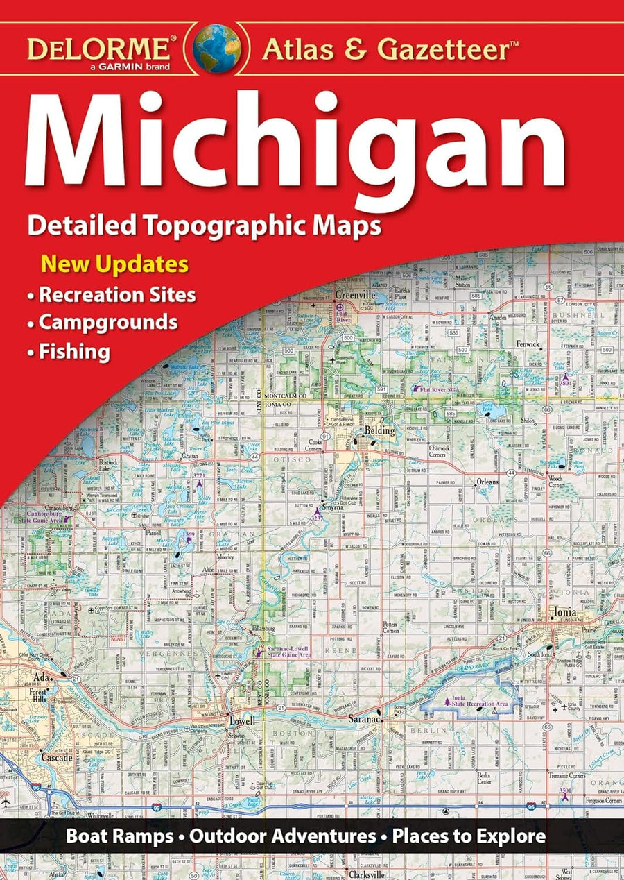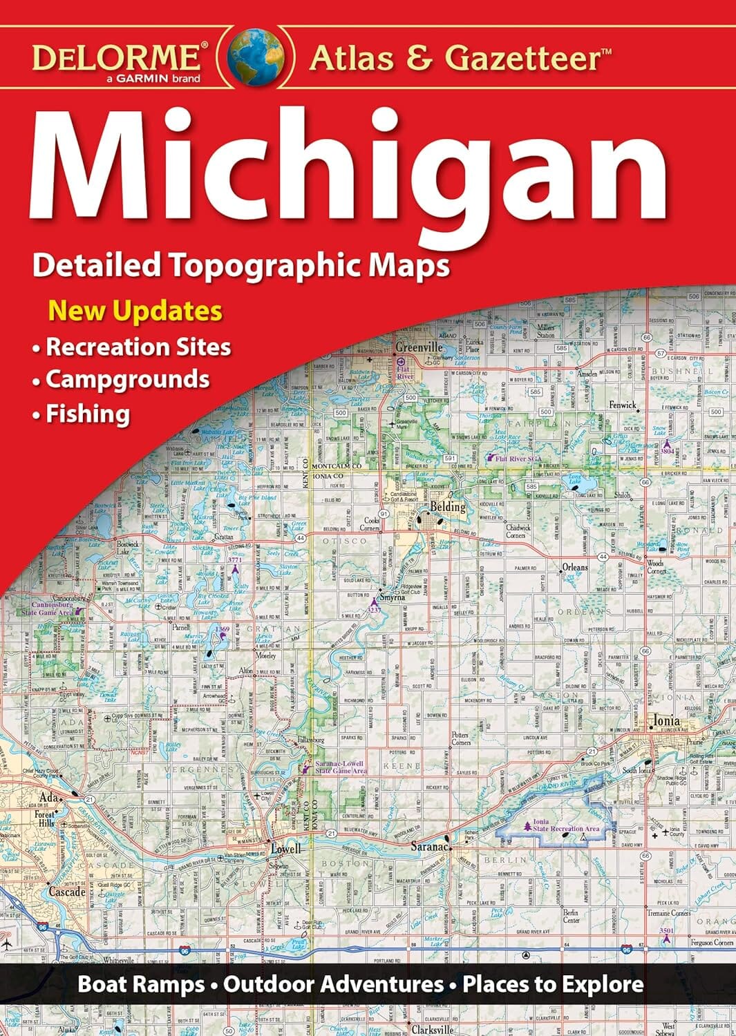
Michigan Atlas & Gazetteer | DeLorme atlas DeLorme

Michigan Atlas & Gazetteer | DeLorme

Michigan Atlas & Gazetteer | DeLorme

Regular price $33.00
/
  • Ships within 48 business hours from our US warehouse. For this product, customs fees may be requested by the carrier upon delivery.
  • Delivery costs calculated instantly in the basket
  • Free returns (*)
  • Real-time inventory
  • In stock, ready to ship
  • Backordered, shipping soon
Tax included.

This DeLorme topographic atlas covers Michigan with the most comprehensive detail available, including back roads, backwater lakes and streams, boat ramps, forests, wetlands, trailheads, campgrounds, public lands, prime hunting and fishing spots, and countless landmarks and points of interest. You'll also find a wealth of information on everything from family outings to wilderness adventures.

The Atlas & Gazetteer is ideal for outdoor recreation, business travel, home or office reference, and countless other uses.


ISBN/EAN : 9781946494610
Publication date: 2022
Pagination: 112 pages
Folded dimensions: 15.75 x 11.02 inch / 40 x 28cm
Language(s): English
Poids : 680 g

Customer Reviews

Based on 5 reviews
100%
(5)
0%
(0)
0%
(0)
0%
(0)
0%
(0)
S
Steve C. (Wells, US)
great product

I have used Delorme maps in several states and have found them to be an invaluable tool for back country exploring. Yes, GPS isn't always the answer!

J
Jean-Pierre C. (Roseville, US)

Nice detailed map, one regret is that apparently the public land area do not appear (anymore). Our goal was to find spot in the wilderness for dispersed camping.

R
Rick W. (Spring Lake, US)

Fast shipping and a really detailed map.

Y
Young
Very helpful on our week long trip ...

Very helpful on our week long trip in Michigan. Our goal was to travel as few 4 lane roads as possible and this map made it possible.

K
Karen K.
Great county map book. Accurate....

Great county map book. Accurate.