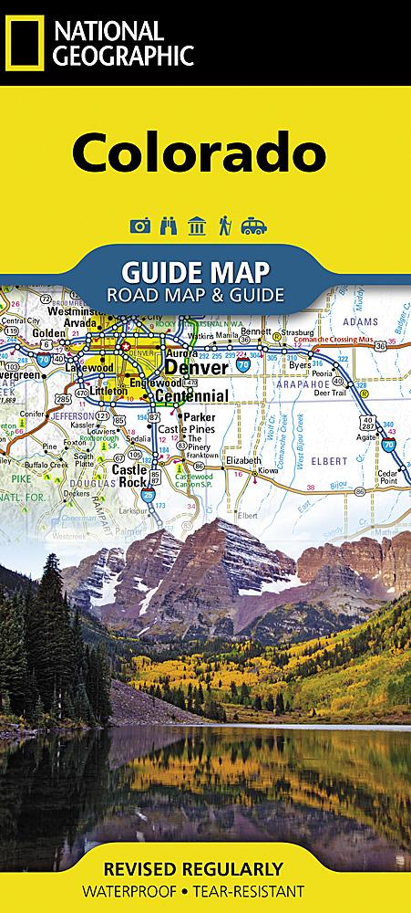
Carte des sentiers de la région sauvage de Weminuche (Colorado), n° 140 | National Geographic carte pliée National Geographic

Trails map of Weminuche Wilderness (Colorado), # 140 | National Geographic

Price
Regular price $18.00
Regular price Sale price $18.00
Save $-18
/
  • Shipping within 48 business hours from our warehouse in the USA. For this product, customs fees may be requested by the carrier upon delivery.
  • Delivery costs calculated instantly in the basket
  • Free returns (*)
  • Real-time inventory
  • In stock, ready to ship
  • Backordered, shipping soon
Tax included.

Often purchased together:

Hiking map of Weminuche Wilderness (Colorado) published by National Geographic. This detailed map covers San Juan and Rio Grande national forests ; Weminuche Wilderness ; Williams Creek ; Big Meadows and Rio Grand reservoirs ; Chicago Basin, Emerald, and Electra lakes ; Wagon Wheel Gap, Wolf Creek, and Rockwood. 14ers: Sunlight Peak, Windom Peak, Mt Eolus ; Piedra, Squaw and Molas passes ; San Juan Mountains ; San Juan, Rio Grande and Los Pinos rivers ; Wolf Creek ski area ; Portions of the Continental Divide Trail and the Colorado Trail. Trails, trailheads, points of interest, campgrounds are included. Waterproof and tear resistant. Scale 1:63,360.


ISBN/EAN : 9781566952910
Publication date: 2023
Scale: 1:63.360 (1 cm is 633.6 m)
Printed sides: both sides
Language(s): English
Weight: 95 g

Customer Reviews

Based on 2 reviews
100%
(2)
0%
(0)
0%
(0)
0%
(0)
0%
(0)
A
Andre L.
Excellent producr that is very help...

Excellent producr that is very helpful in planning my trip and will be carried with me.

J
Jeff B.
Amazing map, looking forward to bac...

Amazing map, looking forward to backpacking this summer