Carte des loisirs de l'Utah | Benchmark Maps carte pliée Benchmark Maps

Utah Recreation Map | Benchmark Maps

Price
Regular price $12.00
Regular price Sale price $12.00
Save $-12
/
  • Shipping within 48 business hours from our warehouse in the USA. For this product, customs fees may be requested by the carrier upon delivery.
  • Delivery costs calculated instantly in the basket
  • Free returns (*)
  • Real-time inventory
  • In stock, ready to ship
  • Backordered, shipping soon
Tax included.

Often purchased together:

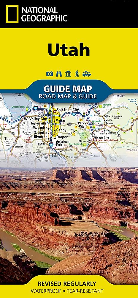
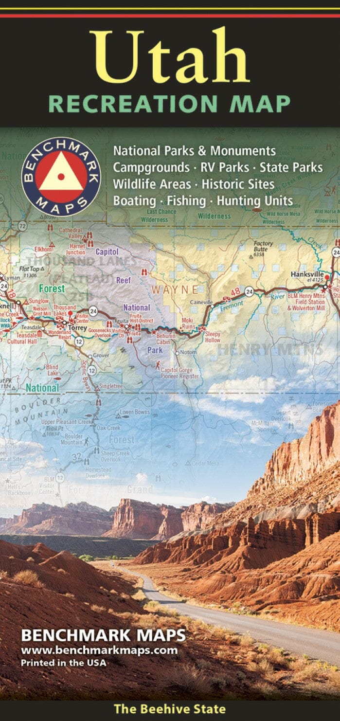
The Utah Recreation Map is a folded version of the recreation guide pages from our Utah Roads and Recreation Atlas. The Utah Recreation Map is the perfect planning tool for everything outdoors, from a nearby day hike to a vacation adventure in one of Utah's rugged parks and wilderness areas. It's the only Utah map backed by Benchmark's field-verified accuracy and cartographic excellence. The state map features public lands, detailed highway details, point-to-point mileage, recreational attractions, campgrounds, parks and wildlife areas, boating and fishing access points, and game-government units (GMUs). The back features a regional map of Salt Lake City and the Wasatch Front, plus statewide categorized POI lists with helpful descriptions, current contact information, and map grid references. ISBN: 9780783499673 Cover: 4.25" x 9" Sheet: 26.5" x 34" Map scale 1:730,000


ISBN/EAN : 9780783499673
Publication date: 2023
Scale: 1/730,000 (1 cm = 7.3 km)
Folded dimensions: 4.25 x 9 inches / 10.8 x 22.9 cm
Unfolded dimensions: 34 x 26.5 inches / 86.4 x 67.3 cm
Language(s): English
Weight: 1.8 oz

Customer Reviews

Be the first to write a review
0%
(0)
0%
(0)
0%
(0)
0%
(0)
0%
(0)