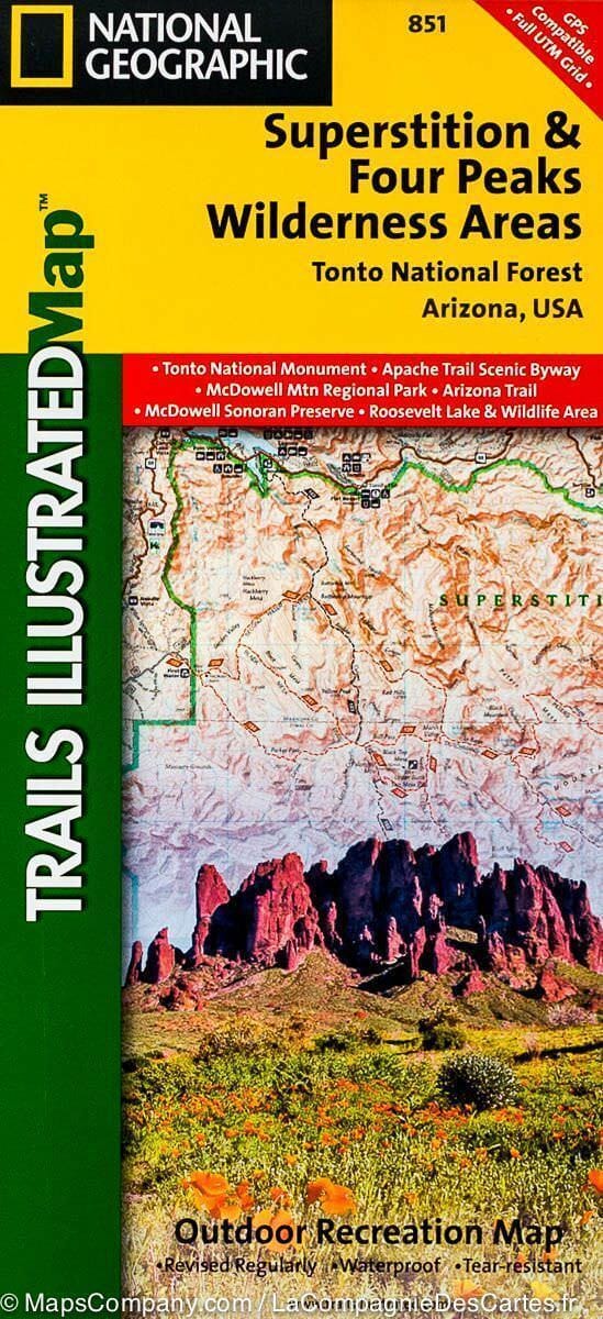
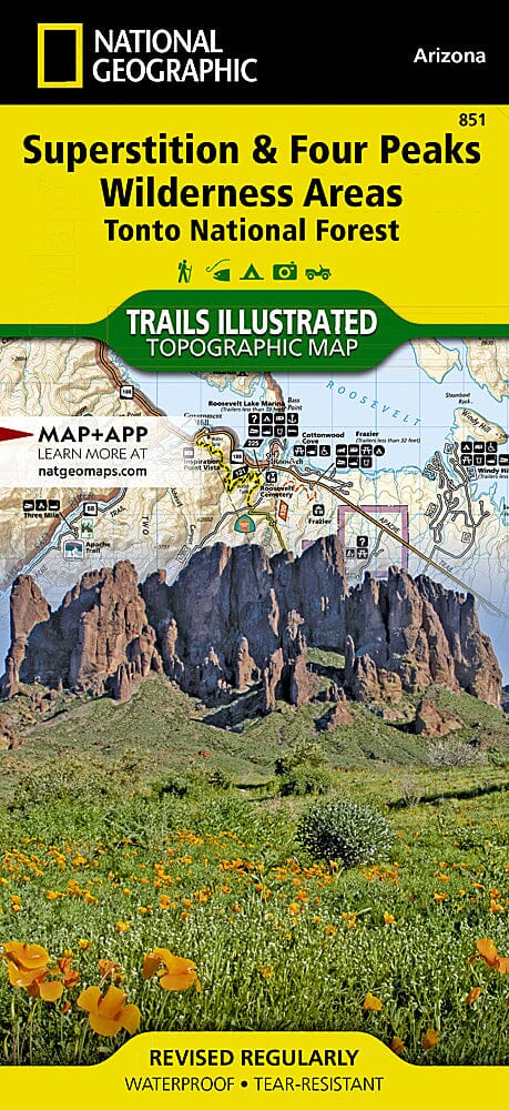
Hiking map No. 851 - Superstition & Four Peaks Wilderness Areas, Tonto National Forest (Arizona) | National Geographic

Price
Regular price $17.00
Regular price Sale price $17.00
Save $-17
/
  • Shipping within 48 business hours from our warehouse in the USA. For this product, customs fees may be requested by the carrier upon delivery.
  • Delivery costs calculated instantly in the basket
  • Free returns (*)
  • Real-time inventory
  • In stock, ready to ship
  • Backordered, shipping soon
Tax included.

Often purchased together:

Waterproof - Tear-Resistant - Topographic Map

One of the largest national forests in the United States, Tonto National Forest is known not only for its diverse terrain, flora, and fauna, but also for its many year-round recreational opportunities. The Trails Illustrated map of the Superstition and Four Peaks Wilderness Areas, produced by National Geographic in collaboration with the U.S. Forest Service and other agencies, provides detailed information about this area of the forest. The map's coverage includes Bartlett Reservoir, McDowell Mountain Regional Park, McDowell Sonoran Preserve, the Verde and Salt Rivers, Saguaro and Apache Lakes, Roosevelt Lake and Tonto National Monument and Wildlife Area.

Whether you're exploring the area on foot, by bike, on horseback, or by motorized vehicle, you can get off the beaten track and back by following the map to clearly marked trailheads and then along precisely mapped paths color-coded for their designated use.


ISBN/EAN : 9781566954853
Publication date: 2019
Scale: 1: 70,000 (1 cm represents 700 m)
Printed sides: both sides
Folded dimensions: 9.45 x 4.33 inch / 24 x 11cm
Unfolded dimensions: 24.8 x 37.01 inches / 63 x 94cm
Language(s): English
Weight: 3.2 oz

Customer Reviews

Be the first to write a review
0%
(0)
0%
(0)
0%
(0)
0%
(0)
0%
(0)