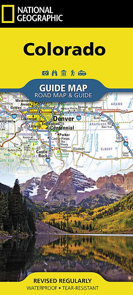
Trails Map of Salida / St. Elmo / Shavano Peak (Colorado), # 130 | National Geographic carte pliée National Geographic

Trails map of Salida / St. Elmo / Shavano Peak (Colorado), # 130 | National Geographic

Price
Regular price $35.00
Regular price Sale price $35.00
Save $-35
/
  • Shipping within 48 business hours from our warehouse in the USA. For this product, customs fees may be requested by the carrier upon delivery.
  • Delivery costs calculated instantly in the basket
  • Free returns (*)
  • Real-time inventory
  • In stock, ready to ship
  • Backordered, shipping soon
Tax included.

Often purchased together:

Waterproof, tear - resistant, topographic map of Salida, St. Elmo, and Mt Shavano, CO.
National Geographic's Trail Illustrated map of Salida, St. Elmo and Mount Shavano offers extensive detail for outdoor enthusiasts exploring this area in the heart of the San Isabel National Forest. Expertly researched and created in partnership with the U.S. Forest Service, the Bureau of Land Management and others, this map will guide you along the trails, up and down the peaks and across the rivers and lakes as you enjoy your adventure or recreation activity. The map features many points of interest, including North Fork Reservoir, Tabeguache Peak, Mount Princeton and the Collegiate Peaks Byway along with its many recreation areas.
The map's clearly marked trails and trailheads can guide you off the beaten path and back again. Parts of the Continental Divide Trail and Colorado Trail that pass through the area are highlighted on the map as well as mountain bike routes. The map base includes contour l


ISBN/EAN : 9781566953504
Publication date: 2019
Scale: 1:40.680 (1 cm is 406.8 m)
Printed sides: both sides
Folded dimensions: 7.48 x 3.94 inch / 19 x 10cm
Unfolded dimensions: 20.87 x 26.77 inch / 53 x 68cm
Language(s): English
Weight: 2.4 oz

Customer Reviews

Be the first to write a review
0%
(0)
0%
(0)
0%
(0)
0%
(0)
0%
(0)