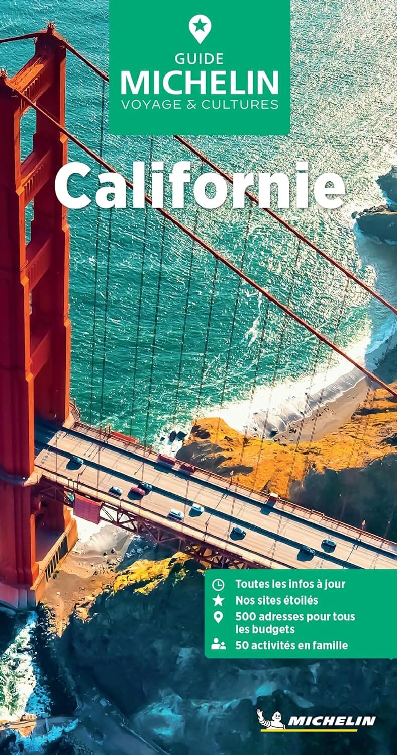
Trails Map of Mount Tamalpais / Point Reyes (Californie), # 266 | National Geographic carte pliée National Geographic

Trails map of Mount Tamalpais / Pt. Reyes (California), # 266 | National Geographic

Price
Regular price $20.00
Regular price Sale price $20.00
Save $-20
/
  • Shipping within 48 business hours from our warehouse in the USA. For this product, customs fees may be requested by the carrier upon delivery.
  • Delivery costs calculated instantly in the basket
  • Free returns (*)
  • Real-time inventory
  • In stock, ready to ship
  • Backordered, shipping soon
Tax included.

Often purchased together:

This waterproof, tear - resistant, topographic map of Mount Tamalpais and Point Reyes features key areas of interest including Point Reyes National Seashore; Golden Gate National Recreation Area; Tomales Bay, Angel Island, Mount Tamalpais, and Samuel P. Taylor state parks; and Muir Woods National Monument. Also includes a detailed inset of Mount Tamalpais.
With miles of mapped trails including portions of the Bay Area Ridge and California Coastal trails, this map can guide you off the beaten path and back again in some of the most breathtaking scenery in the region. The clearly marked trails include mileages between intersections. The Pacific Coast Highway is noted for those wishing to take in the scenery by car. The map base includes contour lines and elevations for summits, passes, coastal waters, and many lakes. Some of the many recreation features include campgrounds, lighthouses, interpretive trails, wildlife viewing areas, fishing areas, boat launches, and riding stables. Helpful


ISBN/EAN : 9781566955768
Publication date: 2011
Scale: 1: 45,000 (1 cm represents 450 m)
Printed sides: both sides
Folded dimensions: 9.45 x 4.33 inch / 24 x 11cm
Unfolded dimensions: 33.07 x 24.8 inch / 84 x 63cm
Language(s): English
Weight: 3.2 oz

Customer Reviews

Be the first to write a review
0%
(0)
0%
(0)
0%
(0)
0%
(0)
0%
(0)