Carte de l'Irlande et plan des rues de Dublin (Pack Bundle) | National Geographic carte pliée National Geographic

Map of Ireland & Street plan of Dublin (Pack Bundle) | National Geographic

Map of Ireland & Street plan of Dublin (Pack Bundle) | National Geographic

Regular price $24.00
/
  • Ships within 48 business hours from our US warehouse. For this product, customs fees may be requested by the carrier upon delivery.
  • Delivery costs calculated instantly in the basket
  • Free returns (*)
  • Real-time inventory
  • In stock, ready to ship
  • Backordered, shipping soon
Tax included.

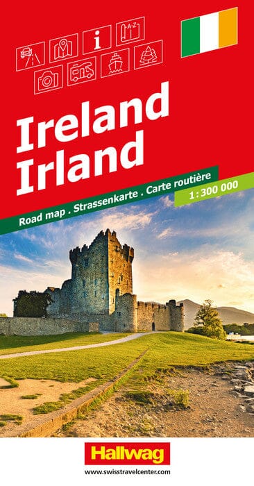
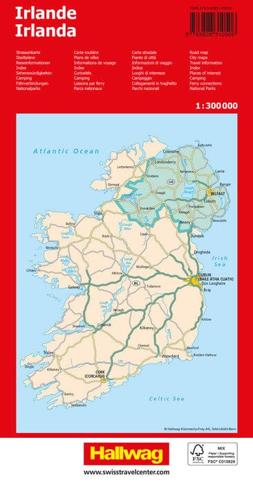
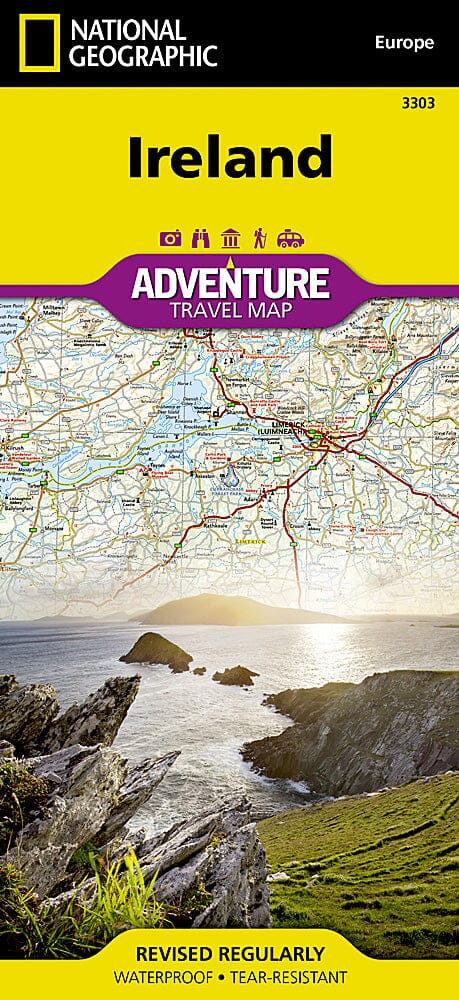
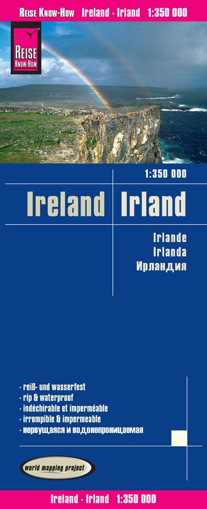
Map of Ireland & Street plan of Dublin (Pack Bundle) published by National Geographic.
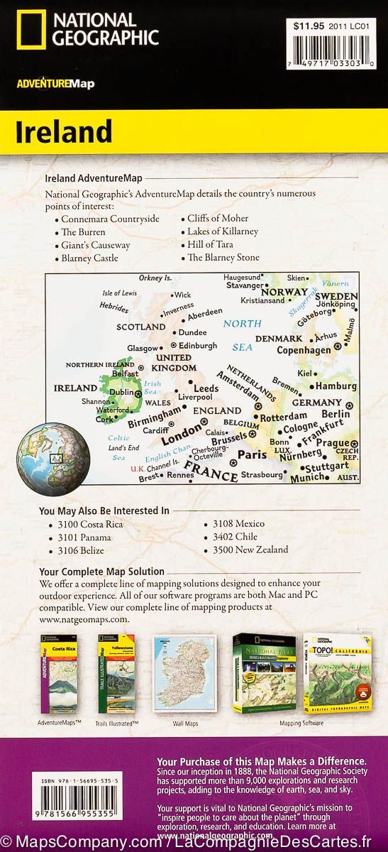
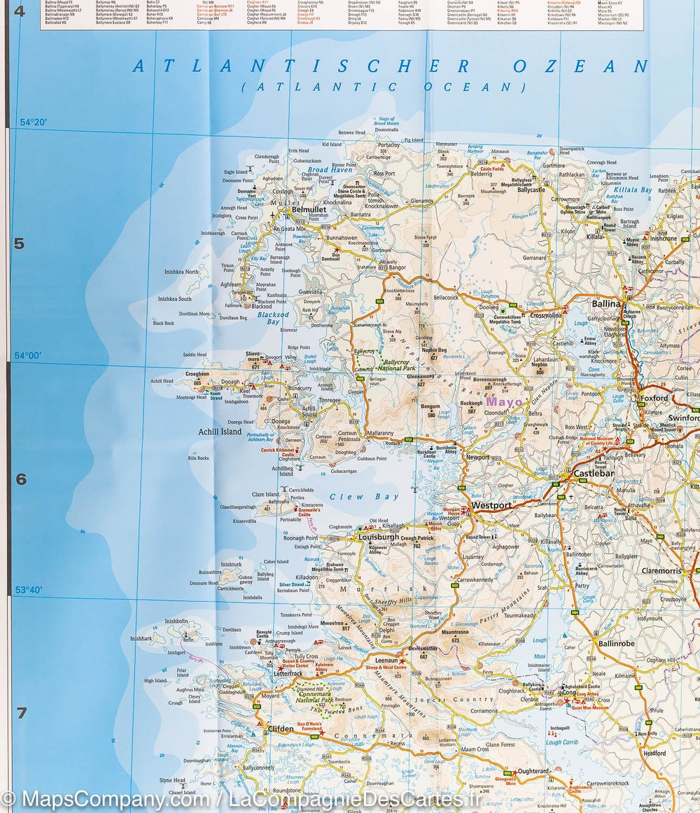
- The Ireland map is filled with interesting places to visit throughout this history filled and varied country. From the windswept Cliffs of Moher to the rain-soaked Aran Islands to the many Celtic Crosses this map covers it all. Combine the Adventure Map of Ireland with a beautifully detailed map of Dublin and you have the perfect travel companion for your trip to the Emerald Isle.

- The Dublin Destination City map combines a finely detailed map with fascinating and practical travel information. The map features a large-scale city map, richly layered with tourist and business travel locations and information. 3-D styled drawings provide you with instant identification of famous buildings and landmarks, making orientation easy and creating a unique keepsake of the visit.

These maps are waterproof and tear-resistant.
Scale 1:385,000 & 1:10,100


ISBN/EAN : 9781597756136
Publication date: 2015
Folded dimensions: 9.45 inches x 4.33 inches (24 x 11 cm)
Unfolded dimensions: 24.8 x 36.61 inches (63 x 93cm)
Language(s): English
Poids : 170 g

Customer Reviews

Be the first to write a review
0%
(0)
0%
(0)
0%
(0)
0%
(0)
0%
(0)