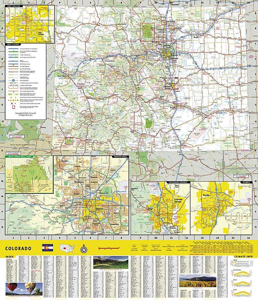
Trails Map of Eagle / Avon (Colorado), # 121 | National Geographic carte pliée National Geographic

Trails map of Eagle / Avon (Colorado), # 121 | National Geographic

Price
Regular price $15.00
Regular price Sale price $15.00
Save $-15
/
  • Shipping within 48 business hours from our warehouse in the USA. For this product, customs fees may be requested by the carrier upon delivery.
  • Delivery costs calculated instantly in the basket
  • Free returns (*)
  • Real-time inventory
  • In stock, ready to ship
  • Backordered, shipping soon
Tax included.

Often purchased together:

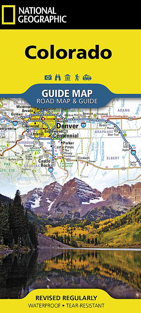
Hiking map of Eagle / Avon (Colorado) published by National Geographic. This map is the most comprehensive recreational map for this picturesque area of central Colorado.This detailed map covers White River National Forest ; Bull Gulch Wilderness Area ; Holy Cross Wilderness ; the cities of Eagle, Gypsum, Avon, Wolcott and Fulford ; Eagle River ; Beaver and Squaw creeks and Hardscrabble Mountain. Ski areas : Beaver Creek and Arrowhead. 10th Mountain Huts : Polar Star Inn.Trails, trailheads, points of interest, campgrounds are included. Waterproof and tear resistant. Scale 1:40,680.


ISBN/EAN : 9781566953948
Publication date: 2019
Scale: 1:40.680 (1 cm is 406.8 m)
Printed sides: both sides
Language(s): English
Weight: 95 g

Customer Reviews

Be the first to write a review
0%
(0)
0%
(0)
0%
(0)
0%
(0)
0%
(0)