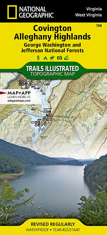
Hiking map No. 788 - Covington / Alleghany Highlands (George Washington / Jefferson National Forest, Virginia) | National Geographic
Regular price
$17.00
Regular price
Sale price
$17.00
Save $-17
/
- Shipping within 48 business hours from our warehouse in the USA. For this product, customs fees may be requested by the carrier upon delivery.
- Delivery costs calculated instantly in the basket
- Free returns (*)
- Real-time inventory
- In stock, ready to ship
Related geographic locations and collections: Appalachian Mountains, Kentucky, Virginia, West Virginia

![George Washington National Forest [Map Pack Bundle] | National Geographic carte pliée](http://mapscompany.com/cdn/shop/products/george-washington-national-forest-pack-de-cartes-national-geographic-carte-pliee-national-geographic-961093.jpg?v=1694457876&width=900)
![Jefferson National Forest [Map Pack Bundle] | National Geographic carte pliée](http://mapscompany.com/cdn/shop/products/foret-nationale-de-jefferson-pack-de-cartes-national-geographic-carte-pliee-national-geographic-882355.jpg?v=1694456994&width=900)
![Cherokee National Forest [Map Pack Bundle] | National Geographic carte pliée](http://mapscompany.com/cdn/shop/products/cherokee-national-forest-pack-de-cartes-national-geographic-carte-pliee-national-geographic-378724.jpg?v=1694452999&width=900)