Colorado Guide Map| National Geographic

Colorado Guide Map| National Geographic

Regular price $11.00
/
  • Ships within 48 business hours from our US warehouse. For this product, customs fees may be requested by the carrier upon delivery.
  • Delivery costs calculated instantly in the basket
  • Free returns (*)
  • Real-time inventory
  • In stock, ready to ship
  • Backordered, shipping soon
Tax included.

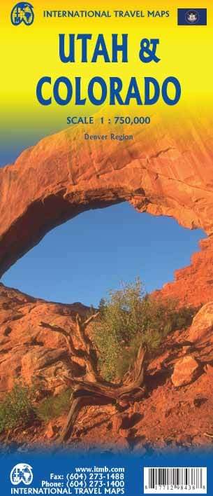
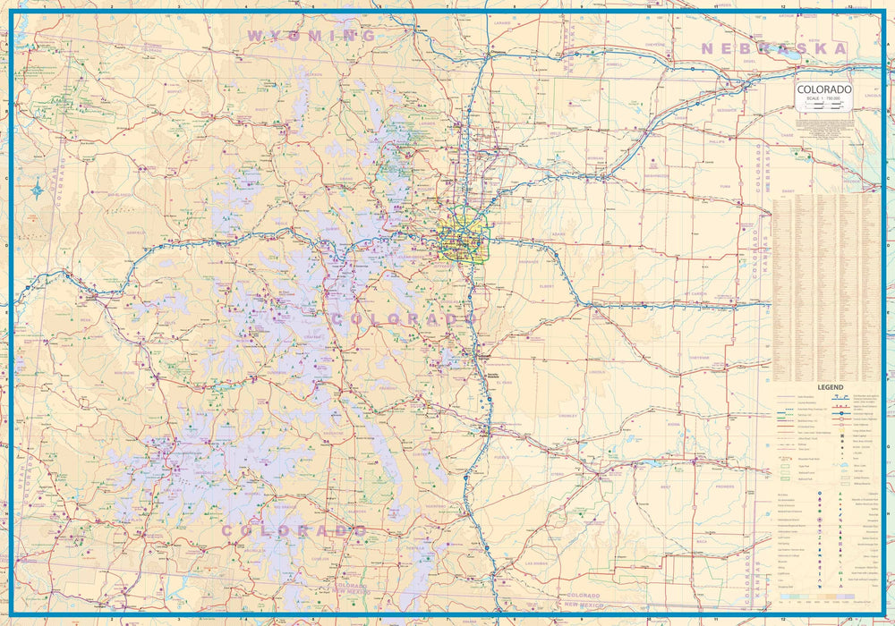
Map of Colorado state published by National Geographic. This map includes city maps for the Denver area, downtown Denver, Colorado Springs, Pueblo and Fort Collins, enlargements of the Rocky Mountain and Mesa Verde National Parks, plus a scenic drive route along the San Juan Skyway. Cities and towns index. Points of interest and national parks listing. Scenic roads are highlighted.
This map is waterproof and tear resistant. Scale 1: 1,250,000.


ISBN/EAN : 9781597750707
Publication date: 2015
Scale: 1: 1,250,000 (1 cm represents 12.5 km)
Printed sides: both sides
Unfolded dimensions: 53 x 46 cm / 21 x 18 in
Language(s): English
Poids : 50 g

Customer Reviews

Be the first to write a review
0%
(0)
0%
(0)
0%
(0)
0%
(0)
0%
(0)