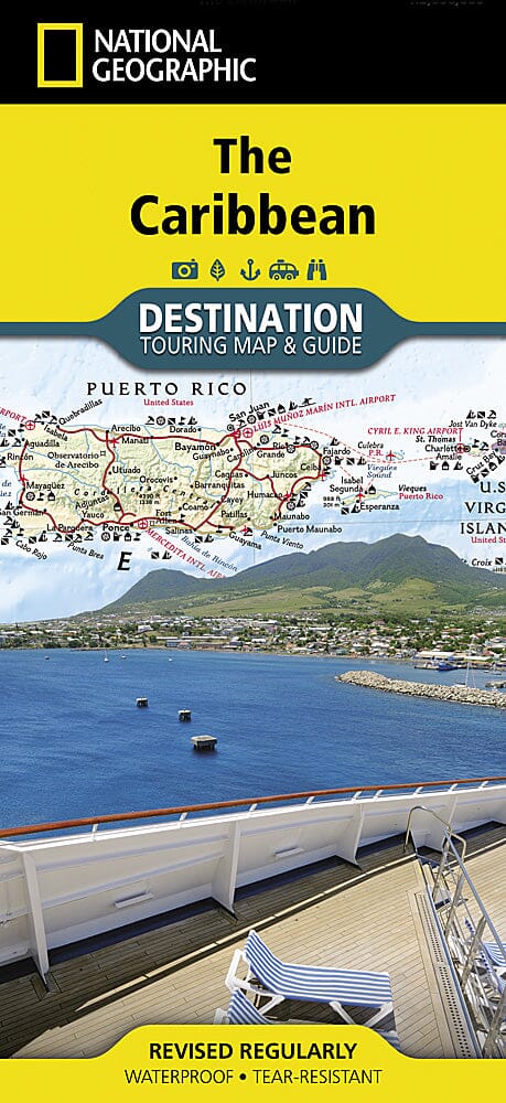
Caribbean Travel map published by National Geographic. It strikes the perfect balance between map and guidebook and is ideal for a wide range of travelers. The map includes a detailed road network and important travel information, including national parks and protected areas, airports, cruise ports, beaches, historical sites and ruins, as well as recreational activities such as diving, surfing, sailing, and golf.
.
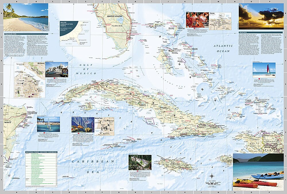
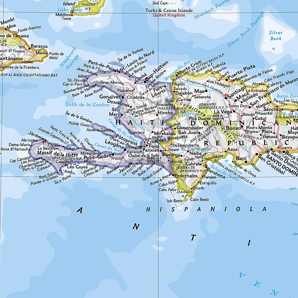
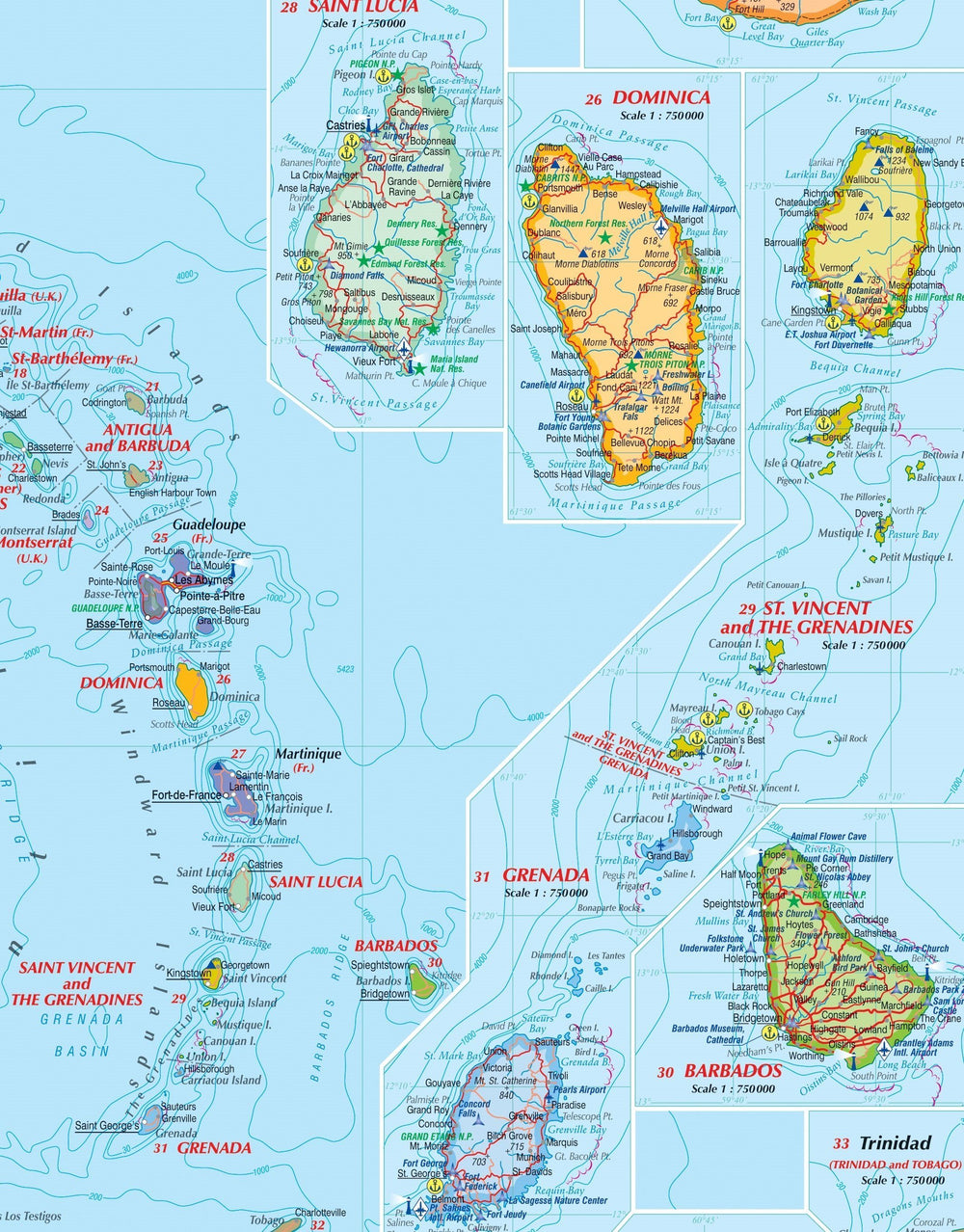
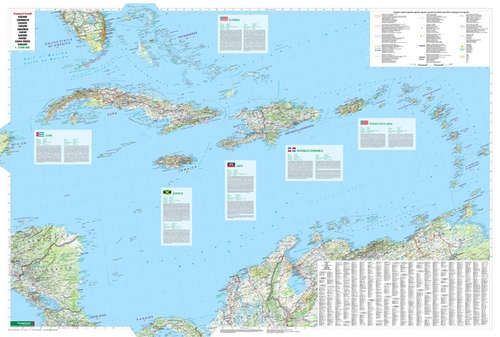
The front of the Caribbean Destination Map details the Eastern Caribbean and includes beautiful photographs and useful information about each of the island destinations. The Dominican Republic, Haiti, Puerto Rico, Trinidad and Tobago, the Virgin Islands, and the islands of the Lesser Antilles are depicted. Also included are important cruise information, inset maps of Charlotte Amalie, U.S. Virgin Islands, and Old San Juan, Puerto Rico, and the locations of national parks. The map also covers the pristine coast of Venezuela.
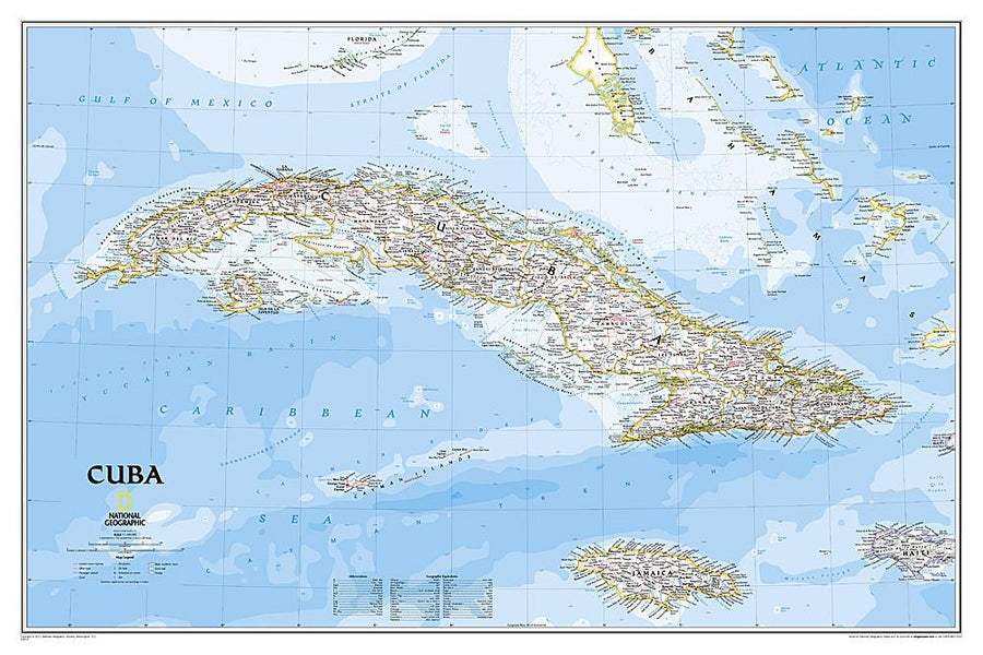
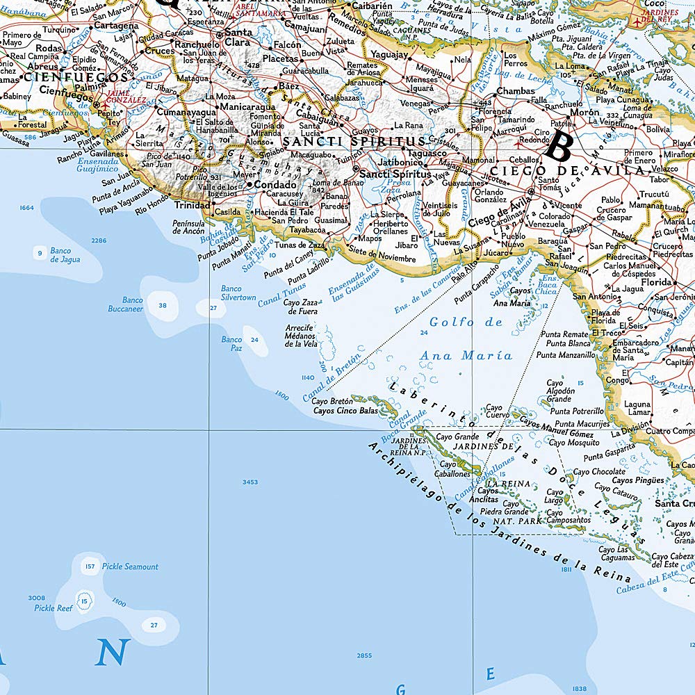
The reverse side details the Western Caribbean, including the Bahamas, the Cayman Islands, Cuba, southern Florida, Jamaica, and the northern tip of Mexico's Yucatan Peninsula. The map features stunning photographs and information about each location, including travel tips, weather information, national park locations, and a map showing major embarkation points for Caribbean cruises from the continental United States. Inset maps for Nassau, Bahamas; George Town, Cayman Islands; and Old Havana, Cuba are included.
Each destination map is printed on durable synthetic paper, making them waterproof, tear-resistant, and durable—capable of withstanding the rigors of any type of travel.
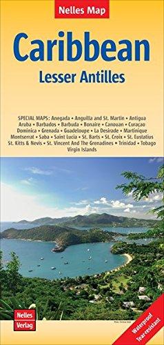
This Caribbean travel map is waterproof and tear-resistant.
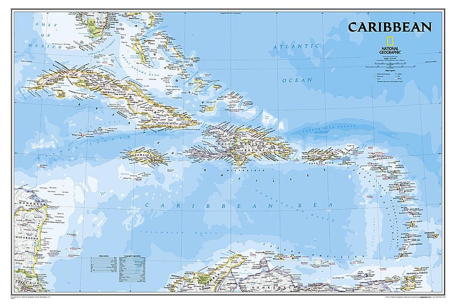
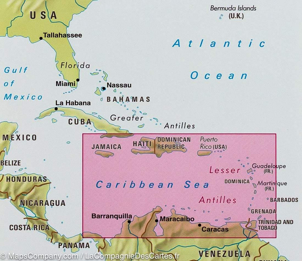
Scale 1:2,000,000.