Trails Map of Carbondale / Basalt (Colorado), # 143 | National Geographic

Trail Map of Carbondale / Basalt (Colorado) - #143 | National Geographic

Trails Map of Carbondale / Basalt (Colorado), # 143 | National Geographic

Regular price $16.00
/
  • Ships within 48 business hours from our US warehouse.
  • Delivery costs calculated instantly in the cart
  • Free returns (*)
  • Real-time inventory
  • In stock, ready to ship
  • Inventory on the way
Tax included.

Often purchased together:

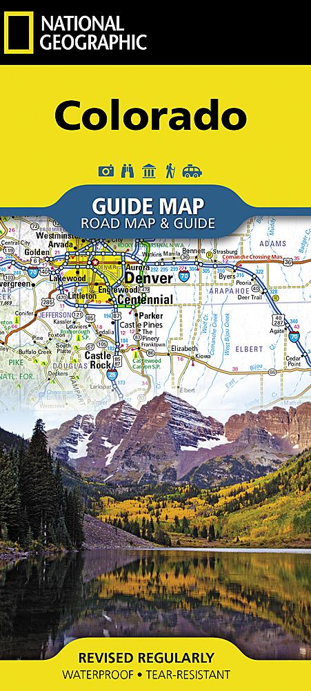
Hiking map of Carbondale & Basalt (Colorado) published by National Geographic. This detailed map covers White River National Forest. Carbondale and Basalt. Roaring Fork, Fryingpan, and Crystal Rivers. Mt. Sopris, Red Hill, Basalt Mountain and Sloane Peak. Basalt State Wildlife Area. Ski Areas : Sunlight. Trails, trailheads, points of interest, campgrounds are included. Waterproof and tear resistant. Scale 1:40,680.


ISBN/EAN : 9781566953993
Publication date: 2005
Scale: 1: 40.680 (1 cm represents 106.8 m)
Printed sides: both sides
Language(s): English
Poids : 95 g

Customer Reviews

Be the first to write a review
0%
(0)
0%
(0)
0%
(0)
0%
(0)
0%
(0)