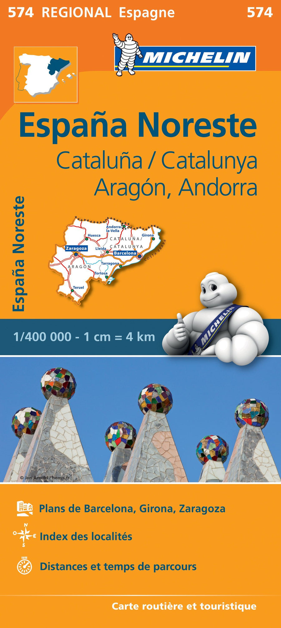
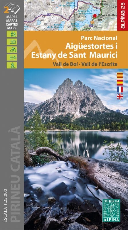
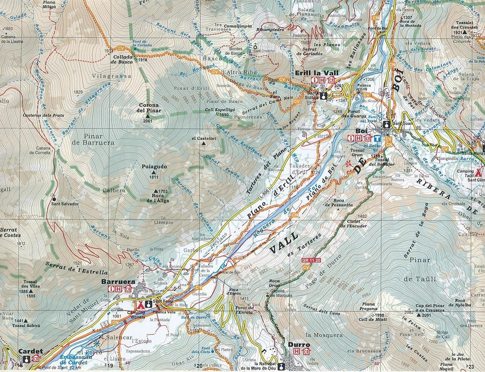
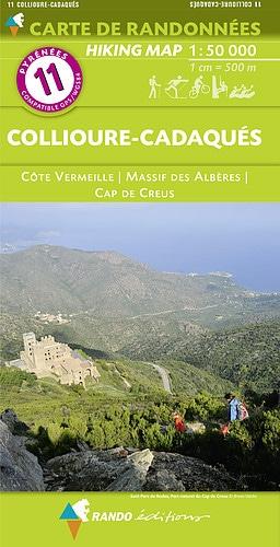
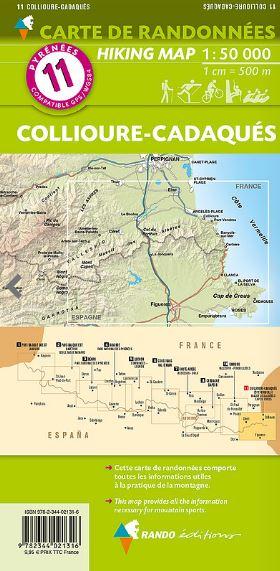
Set of 2 hiking maps - Montserrat Natural Park (Catalonia) | Alpina
Regular price
$18.00
Regular price
Sale price
$18.00
Save $-18
/
- Shipping within 24 working hours from our warehouse in France
- Delivery costs calculated instantly in the basket
- Free returns (*)
- Real-time inventory
- Low stock - 2 items left
Related geographic locations and collections: Catalonia, Editorial Alpina, Spain