Kitchener and Waterloo (Ontario) Street Atlas | Canadian Cartographics Corporation Atlas

Kitchener and Waterloo (Ontario) Street Atlas | Canadian Cartographics Corporation

Price
Regular price $11.00
Regular price Sale price $11.00
Save $-11
/
  • Shipping within 48 business hours from our warehouse in the USA. For this product, customs fees may be requested by the carrier upon delivery.
  • Delivery costs calculated instantly in the basket
  • Free returns (*)
  • Real-time inventory
  • In stock, ready to ship
  • Backordered, shipping soon
Tax included.

Often purchased together:

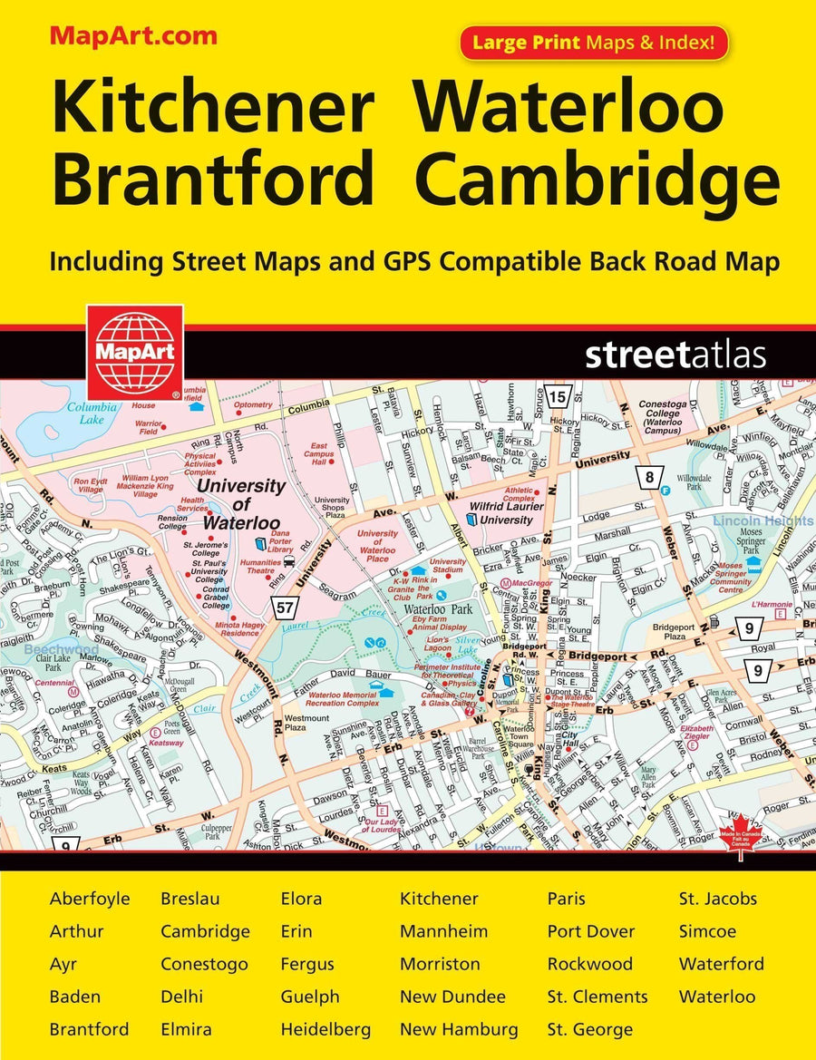
CCC Maps’ Kitchener & Waterloo street atlas has all the features to make even the unfamiliar areas easy to navigate. Includes city maps of: Aberfoyle, Arthur, Ayr, Baden, Brantford, Breslau, Cambridge, Conestogo, Delhi, Elmira, Elora, Erin, Fergus, Guelph, Heidelberg, Kitchener, Mannheim, Morriston, New Dundee, New Hamburg, Paris, Port Dover, Rockwood, St. Clements, St. Jacobs, Simcoe, Waterford and Waterloo. Features regional maps, arenas, golf courses, parks, points of interest, hospitals, schools, skiing and much more.


ISBN/EAN : 9781551982861
Unfolded dimensions: 8.66 x 11.02 inch / 22 x 28cm
Language(s): English
Weight: 7.9 oz

Customer Reviews

Be the first to write a review
0%
(0)
0%
(0)
0%
(0)
0%
(0)
0%
(0)