Pack de cartes des sentiers de John Muir | Tom Harrison Maps carte pliée Tom Harrison Maps

John Muir Trail Map Pack | Tom Harrison Maps

Price
Regular price $25.00
Regular price Sale price $25.00
Save $-25
/
  • Shipping within 48 business hours from our warehouse in the USA. For this product, customs fees may be requested by the carrier upon delivery.
  • Delivery costs calculated instantly in the basket
  • Free returns (*)
  • Real-time inventory
  • In stock, ready to ship
  • Backordered, shipping soon
Tax included.

Often purchased together:

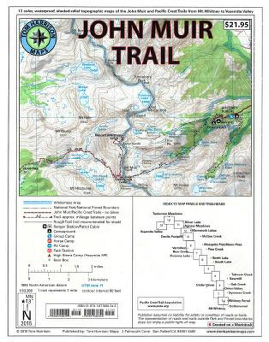
Shaded relief topo map package of the famous Sierra High Route that will take hikers from Mount Whitney to Yosemite, CA. Trails are well marked on USGS topo maps that have been beautifully enhanced with shaded relief to better distinguish details. Scale 1:63,360. 1 inch on the map equals 1 mile. Whitney Portal, Symmes Creek, Onion Valley, Oak Creek, Taboose Creek, North and South Lakes, Vermilion, Bear Creek, Florence Lake, Pine Creek, Mono Pass, McGee Creek, Devils Postpile, Mammoth Lakes, Agnew Meadows, Silver Lake, Tuolomne Meadows, and finally Yosemite Valley. GPS compatible with full UTM grid.


ISBN/EAN : 9781877689345
Publication date: 2019
Folded dimensions: 11.02 inches x 9.060 inches (28 x 23 cm)
Unfolded dimensions: 10.24 inches x 8.27 inches ( cm)
Language(s): English
Weight: 110 g

Customer Reviews

Be the first to write a review
0%
(0)
0%
(0)
0%
(0)
0%
(0)
0%
(0)