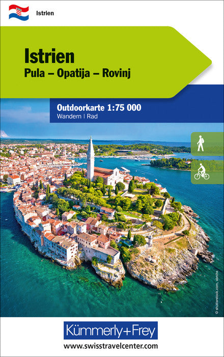
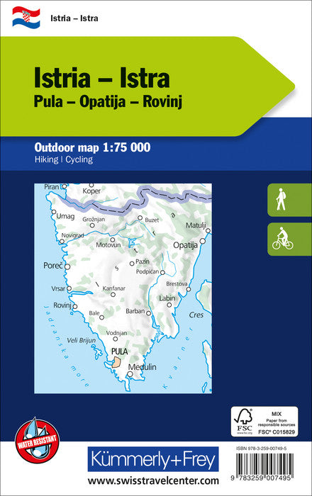
The new maps for outdoor sports Kümmerly + Frey will tell you all the possibilities for your leisure. Digital mapping of high quality printed on waterproof and indich paper.
Level curves.
Peaks, Valleys, Types of vegetation etc. The hiking trails and mountain bike paths are highlighted.
Another strong point, you can download your map for free on your smartphone.
With the exact GPS location on the map, you always know where you are exactly.
Legend in German and English.
ISBN/EAN : 9783259007495
Publication date: 2023
Scale: 1/75,000 (1cm=750m)
Folded dimensions: 12.5 x 20cm
Language(s): German English
Weight:
82 g


