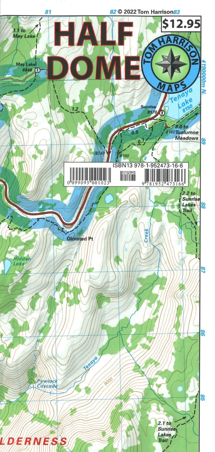
Half Dome and Yosemite (California) | Tom Harrison Maps
Regular price
$1600
$16.00
Regular price
Sale price
$1600
$16.00
Save $-16
/
No reviews
- Shipping within 48 business hours from our warehouse in the USA. For this product, customs fees may be requested by the carrier upon delivery.
- Delivery costs calculated instantly in the basket
- Free returns (*)
- Real-time inventory
- In stock, ready to ship
- Backordered, shipping soon
Related geographic locations and collections: California (hiking maps), Yosemite National Park


