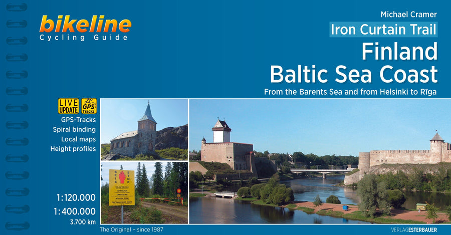
Spiral-bound cycling guide covering the Iron Curtain Trail, Finland, and the Baltic Sea coast.
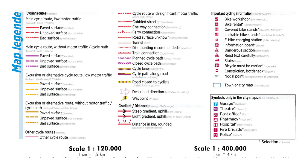
Practical cycling guide with detailed maps, a signposted route, information on overnight stays, and bicycle repair shops.
The route not only connects European culture, history, and sustainable tourism, but also offers cyclists interested in history spectacularly beautiful and varied landscapes and unique habitats that may have emerged in the former border strip, which is now the European Green Belt.
The maps in the revised edition are enlarged to 1:120,000 from Helsinki to Riga, and from Grense Jakobselv to Vaalimaa, they remain at 1:400,000.
This volume describes the 4,000-kilometer section of the route from the Barents Sea to Riga.
ISBN/EAN : 9783850007450
Publication date: 2018
Pagination: 200 pages
Scale: 1/85,000 (1cm=850m)
Folded dimensions: 11.8 x 22.1cm
Language(s): English
Weight:
270 g


