Cycling guide - Cycling Loops in Aude | Chamina
Regular price
$20.00
Regular price
Sale price
$20.00
Save $-20
/
- Shipping within 24 working hours from our warehouse in France
- Delivery costs calculated instantly in the basket
- Free returns (*)
- Real-time inventory
- Low stock - 2 items left
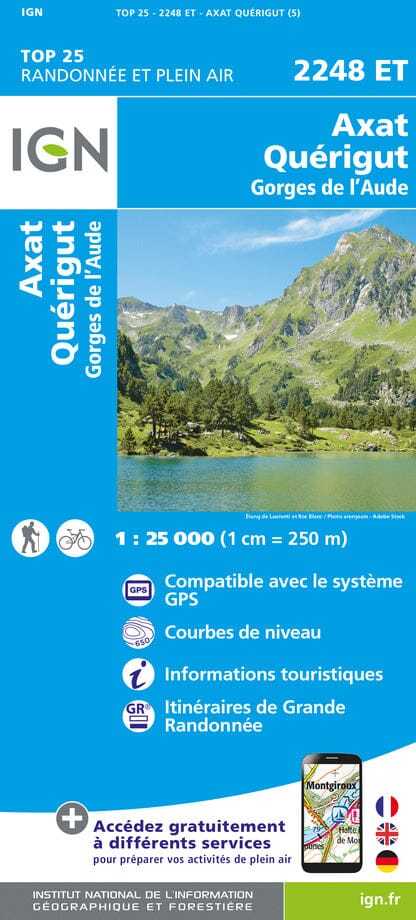
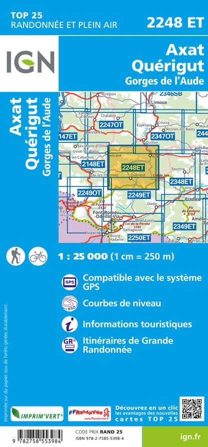
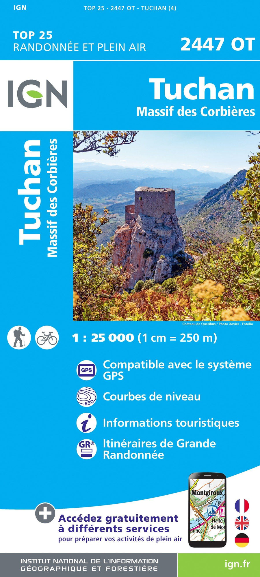
Related geographic locations and collections: Aude (department 11), France by bike, New products, Travel guides & practical guides