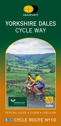
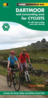
Topoguide (in English) of the Cicerone publisher.
Description provided by the publisher:
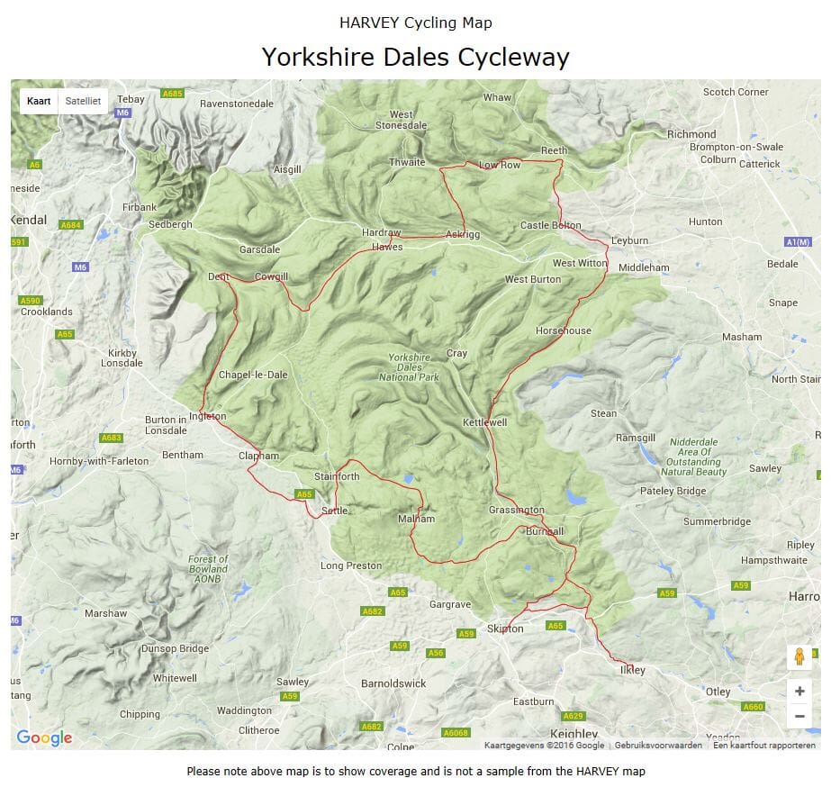
A Guidebook to 30 Short, Medium, Long and Full - Day MTB Roads Across The Yorkshire Dales National Park. The Circular Rides Visit All The Major Dales, Including Tour Of The Howgills, and Include Loops Around Two of the Three Peaks, Whernenside and Pen - Y - Ghent. Choose A road by grade, off - road percentage, Length gold Time at a GLANCE.
Seasons:
THROUGHOUT THE YEAR, WITH LONY AND HIGHER ROADS BEST LEFT TO THE WARMER MONTHS.
Centers:
Settle, Horton - In - Ribblesdale, Kirkby Lonsdale, Grassington, Hetton, Ribblehead, Thoraby, Orton, Reeth, Gunnerside, West Burton, Sedbergh, Langthwaite, Airton, Kettlewell, Kirkby Stephen, Bainbridge, Hawes.
Difficulty:
Varying Lengths and Difficulties, Graded Blue (Medium), Red (Hard) and Black (Very Hard) Novice Mountain Bikers with Reasonable Bike Handling Skills Should Be Able to Complete The Blue Roads, While Experts Should Be Challenged by The Red and, More So, The Black Routes.
MUST SEE:
All The Major Dales: Wensleydale, Swaledale, Ribblesdale, Datedale and Wharfedale Circumnavigations of Whernenside and Pen - Y - Ghent Unique Limestone Geology and Two Major Bodies of Water - Malham Tarn and Semer Water.
ISBN/EAN : 9781852846763
Publication date: 2012
Folded dimensions: 12 x 17cm
Language(s): English
Weight:
284 g