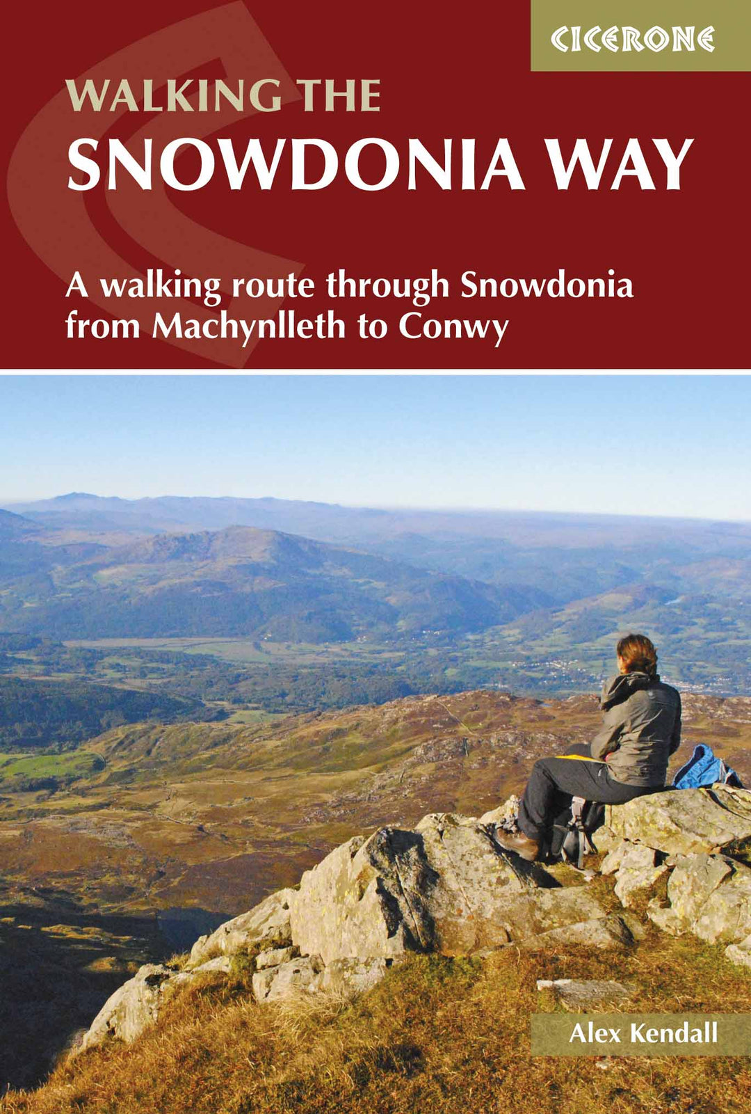
Topoguide (in English) of the Cicerone publisher.
Description Provided by the publisher:
Guidebook to Walking The Snowdonia Way in Wales, Long - Distance Through Snowdonia National Park From Machynlleth to Conwy. Low - Level Route of 97 miles (6 to 8 internships) Includes Pass of Aberglaslyn, Ogwen Valley and Aber Falls. The mountain road is 122 miles in 9 interns, including Cadair Idris, Snowdon and Gyders. With planisphere information.
Seasons:
BOTH THE MAIN ROAD AND MOUNTAIN ROAD CAN BE WALKED THROUGHOUT THE YEAR, THOUGH IN WINTER Conditions The Mountain Road Requires Full Winter Mountaineering Equipment.
Centers:
Machynlleth, Abergynolwyn, Dolgellau, TrawsfyndD, Penrhyndeth, Beddgelert, Pen - Y - Pass, Dolwyddelan, Capel Curig, Bethesda, Llanfairfechan, Conwy.
Difficulty:
THOUGH THE WALKING DAYS ARE LONG, THE MAIN ROAD IS MOSTLY EASY TO NAVIGATE AND STAYS AT A LOW LEVEL, ONLY COSSING PASSES WHEN NECESSARY. Walkers Shoulded Be used to Full Days Out. The Mountain Road Requires Good Navigation and Includes has considerable AMOUNT OF ASCENT, SOMETTIMES WITH NO PATH.
MUST SEE:
Snowdon, Cadair Idris, The Gyders, The Ogwen Valley, The Vale of Ffestiniog, Aber Falls, The Pass of Aberglaslyn, The Castles of Llewelyn, The Myth of King Arthur, Llyn GwyNant, Llyn Ogwen, NantgwyNant, Coed Y Brenin, The Moelwyns, Monel Siabod, The Carneddau, Slate Quarrying, Owain Gyndwr.
ISBN/EAN : 9781852848569
Publication date: 2017
Folded dimensions: 12 x 17cm
Language(s): English
Weight:
211 g