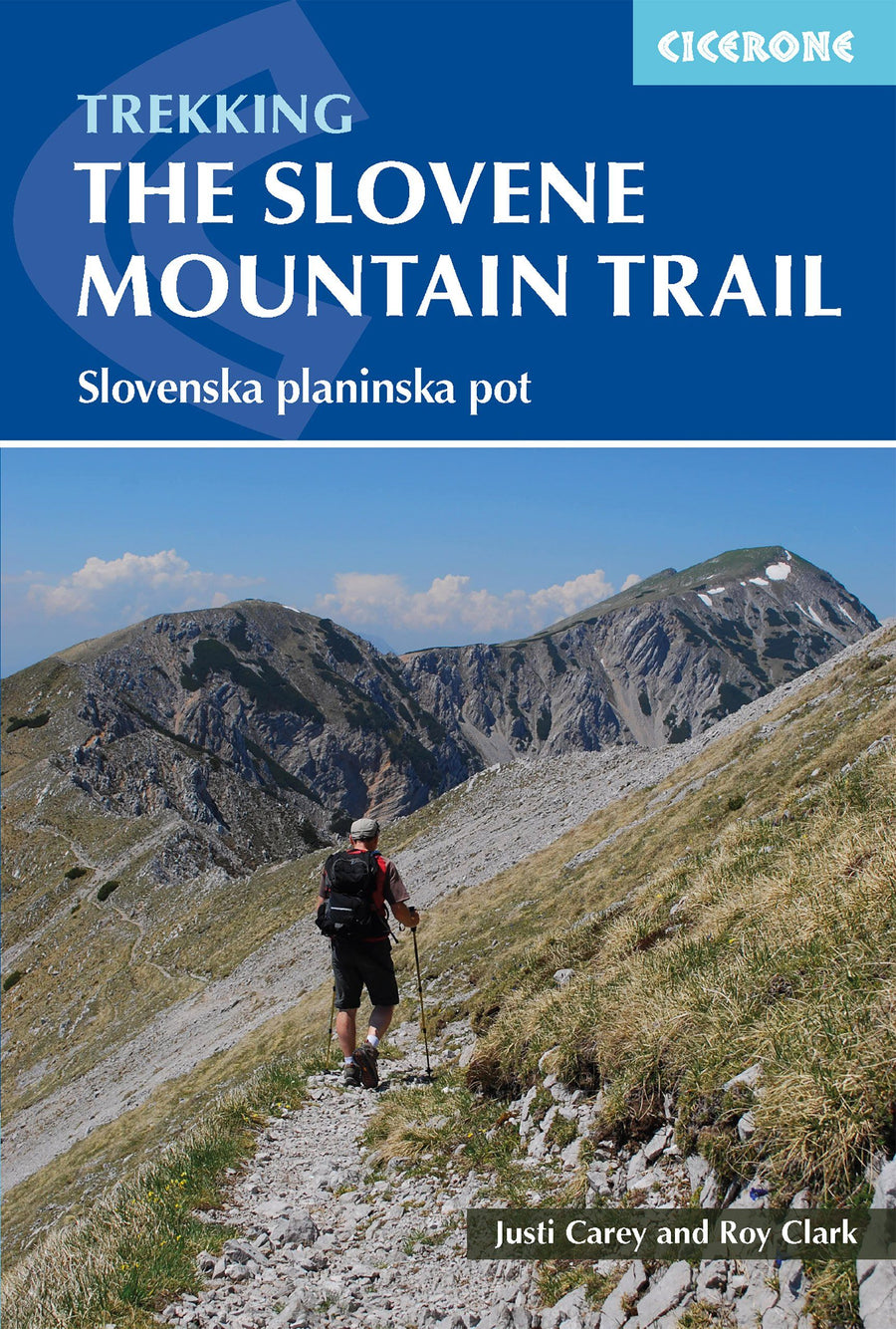
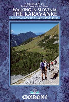
Pocket Topoguide (English) of the Cicerone Editor with Detailed Sheets for Hiking In the Slovenia mountains.
Description provided by the publisher:
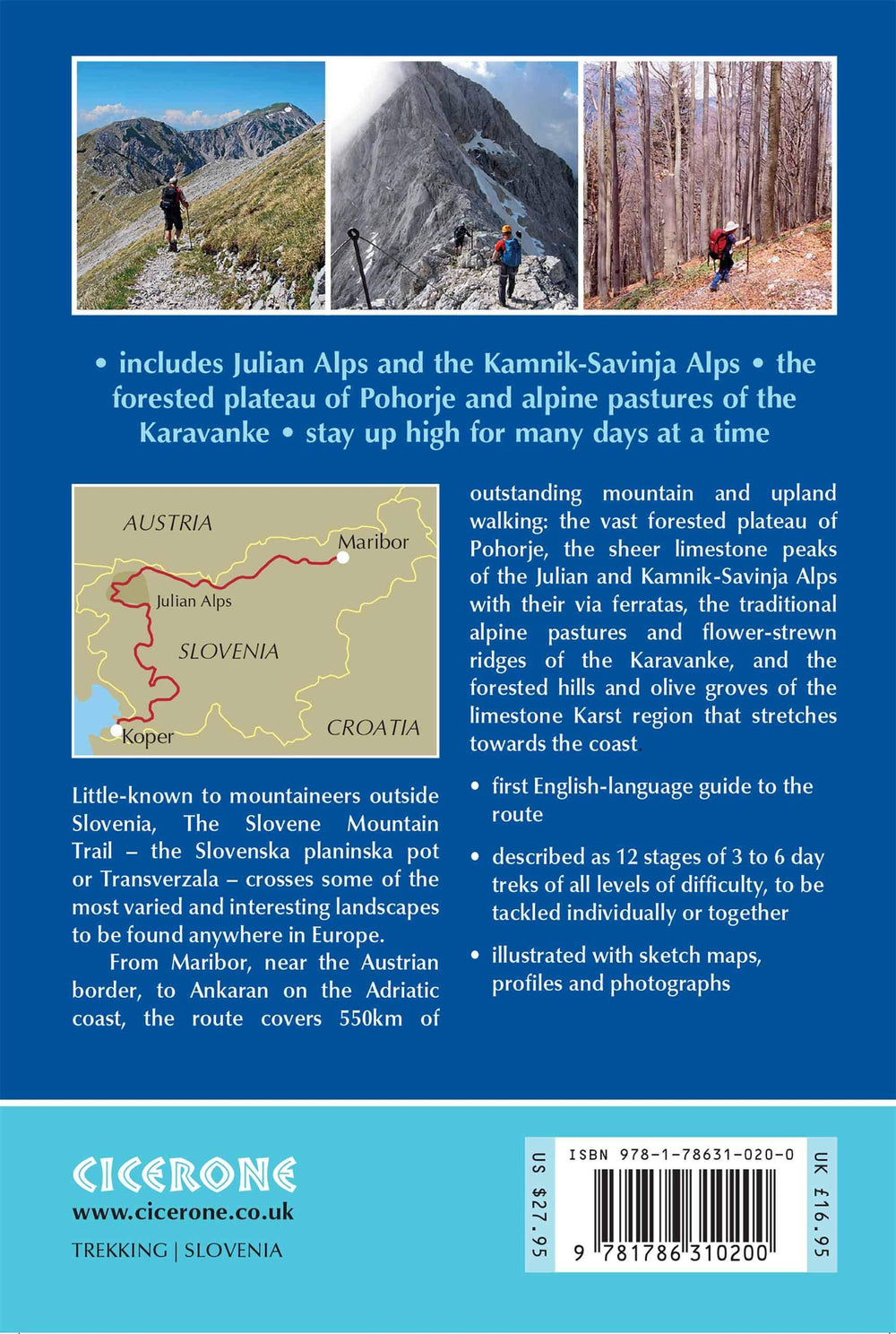
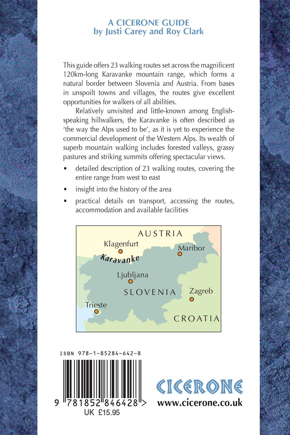
A Guidebook for Trekking The Slovene High Level Road Across Slovenia. The 500 km HIKE FROM MARIBOR, NEAR THE AUSTRIAN BORDER, to Ankaran on the Adriatic Coast, Is Described As a Series of 3 to 6 Day Treks. The Road Runs Through The Regions of Pohorje, The Julian Alps and Kamnik - Savinja Alps, The Karavanke, and The Limestone Karst Country.
Seasons: Routes Clear of Snow and Weather Stable from Mid - June to The End of September High Mountain Huts Only Open from Jule to September Many Facilities Closed from October to May and Snow possible.
Centers: Internship Starts and Finishes: Maribor, Slovenj Gradec, Solcava, Zgornje Jezersko, Tržic, Mojstrana, Vršic, Trenta, Petrovo Brdo, Idrija, Col, Matavun, Ankaran.
Difficulty: Series of 3 to 6 Day Treks of All Levels of Difficulty Each Day Graded from 1 (Mostly on Tracks Gold Lanes, Not Steep Gold Technical) To 3 (Long and Strenuous, Often with Fixed Protection, Self - Bellaying Equipment and Helmet recommended). Must See: Highst Peak Triglav (2864m) Vast Forestéd Plateau of Pohorje Sheer Limestone Peaks of the Julian and Kamnik - Savinja Alps Traditional Alpine Pastures and Flower - Strewn Ridge of the Karavanke Forested Hills and Olive Groves of the Limestone Karst Country.
ISBN/EAN : 9781786310200
Publication date: 2019
Pagination: 256 pages
Folded dimensions: 12 x 17cm
Language(s): English
Weight:
290 g


