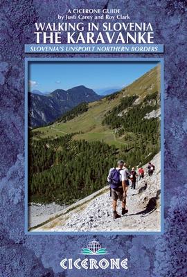
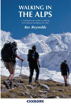
Pocket Topoguide (English) of the Cicerone Editor with Detailed Sheets for Hiking On the Karavanke in Slovenia.
Description provided by the publisher:
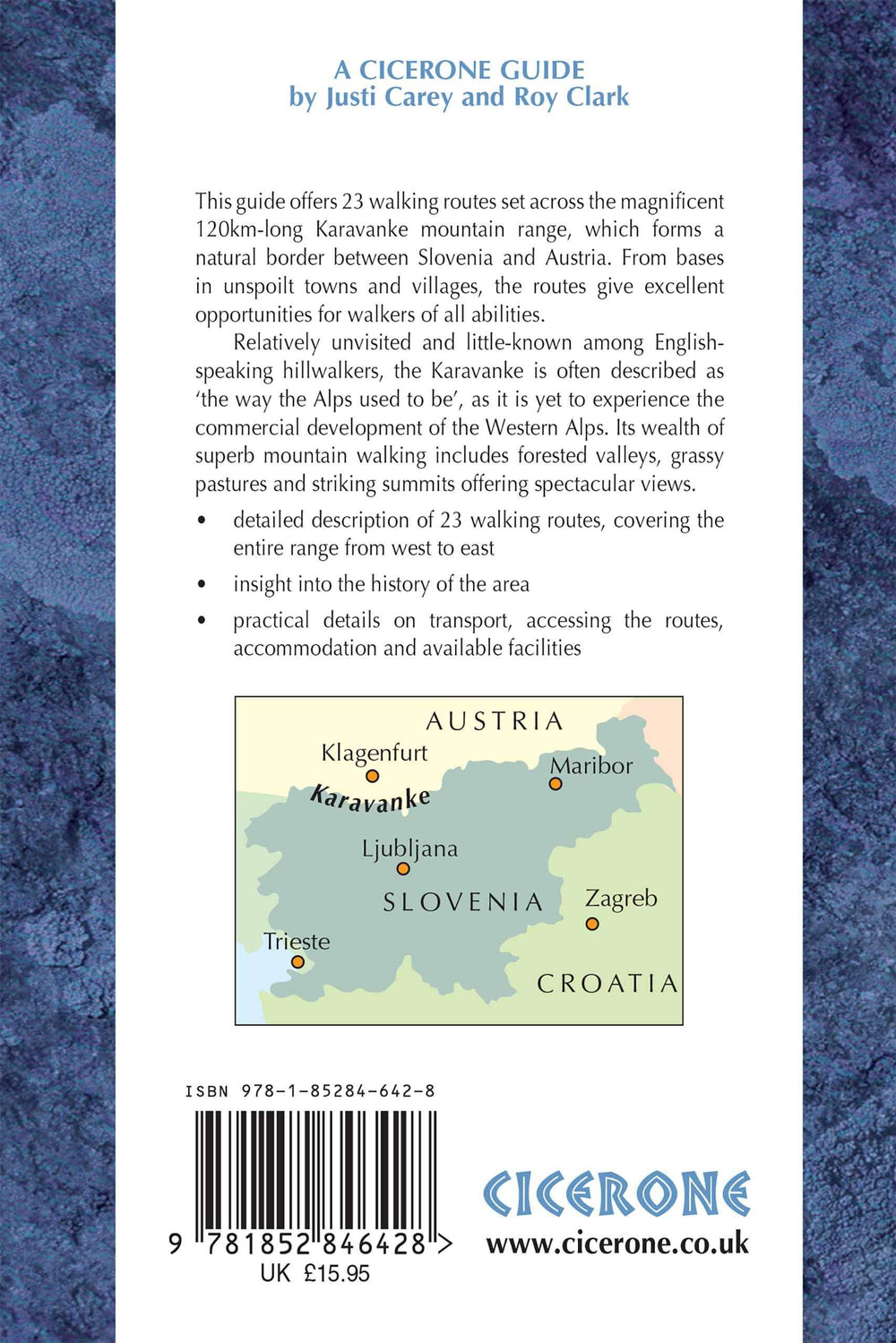
This guidebook Offers 23 Walking Roads Across The 120 km Karavanke Mountain Range, Natural Border Between Austria and Slovenia. The One and Two - Day Roads Are graded for difficulty, and Range from Low - Level walks to High Summits. The approaches are Mainly from the Slovenian Valleys, with bases in unspoilt Towns and Villages.
Seasons: Main Walking Season Late June to Early September, Safely Extended to include May For The Wonderful Bursts of Spring Flowers and Up to Mid - October for The Amazing Autumn Colors.
Centers: Kranjska Gora, Mojstrana, Jesenice, Tržic, Solcava, Slovenj Gradec.
Difficulty: Although The Karavanke Lack The Steep Rock and Barren Heights of the Nearby Julian Alps, Several of the Peaks Are Over 2000m and Many Just Under this altitude a number of the walks include Short Steep Sections of Rock Protected with Steel Cable and Pegs All roads graded.
Must See: Major Peaks in the Karavanke Are: Stol - The Highest at 2236m and a stunning Backdrop to Beautiful Lake Bled Uršlja Gora - The Furthest Eastern Peak With Its Fine Summit Mountain The Majestic Košuta Ridge Olševa with Its Prehistoric Cave Golica in May for the White Daffodils.
ISBN/EAN : 9781852846428
Publication date: 2013
Folded dimensions: 12 x 17cm
Language(s): English
Weight:
221 g


