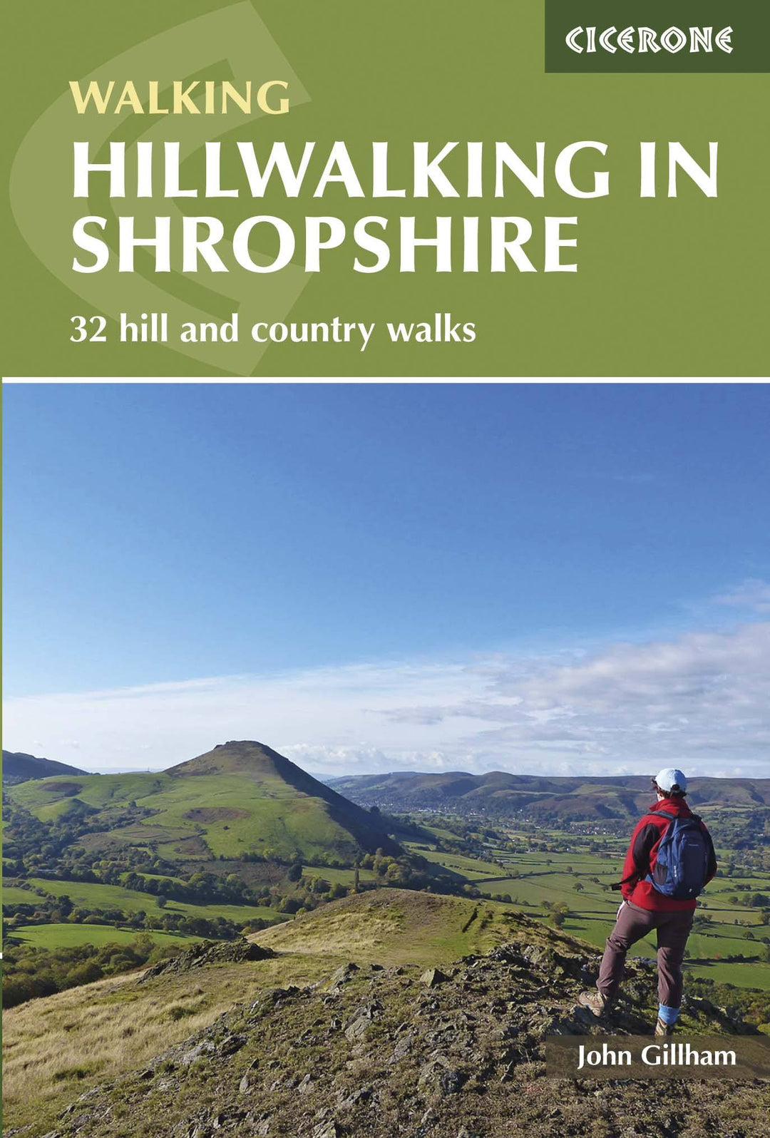
Topoguide (in English) of the Cicerone publisher.
Description Provided by the publisher:
Guidebook to 32 Walking Roads in Shropshire in the West Midlands. The Roads Range From 3 Miles (5 km) to 12 miles (19 km), Taking in Highlights Such As The Wrekin, Wenlock Edge, Long Mynd and Stiperstones, Castle Ring and Bury Dyches. Many Routes Start Near Delightful Towns and Villages Including Church Stretton, Ludlow and Bishops Castle.
Seasons:
All The routes Can Be Done in All Seasons, with Autumn Being Best for Those in Woodland. August, When The Heather Is Out, is Best for Stiperstones and The Long Mynd.
Centers:
Llanymynech, Telford, Church Stretton, Craven Arms, Clun, Ludlow, Bridgnorth and Much Wenlock.
Difficulty:
Shropshire's Summits Are Generally Easy to Climb. Being Such Fertile County Its Low Level Paths CAN Become Overgrown in Summer. Lightweight Boots Are The Best Footwear and IF You're Wearing Shorts, Take Make Sure You Have Waterproof Trosers to Protect Your Legs from Nettler and Dew Covered Long Fat.
MUST SEE:
The Volcanic Peaks of Stiperstones and Caer Caradoc, Steep - Sided, Crag - Fringed Batches of the Long Mynd, Numerous Iron and Bronze Age Hilltop Strong, and Charming Little Towns and Villages with Half - Timbert Buildings and Fascinating Historical Heritage Make Shropshire A Hillwalkers Paradise .
ISBN/EAN : 9781852848071
Publication date: 2016
Folded dimensions: 12 x 17cm
Language(s): English
Weight:
221 g