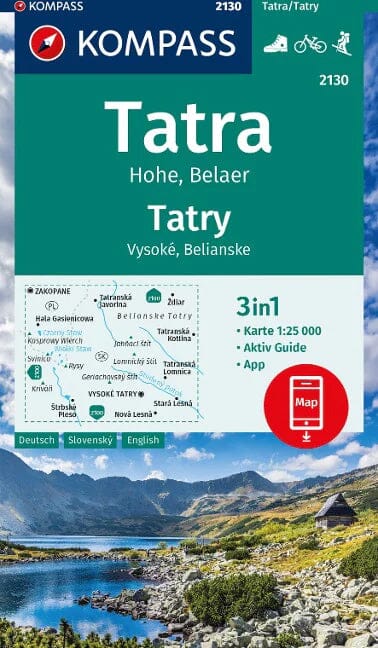
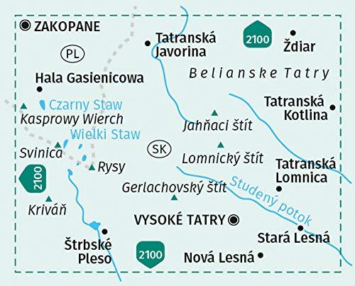
Pocket Topoguide (English) of the Cicerone Editor with detailed maps for hiking in the high Tatras.
Description provided by the publisher:
Guidebook Detailing walks and Scrambles in the High Tatras Mountains of Poland and Slovakia. Varied Routes Among The Strikemently Beautiful Craggy Peaks of the High, Western and White Tatras Range from Easy to Strenuous. INCLUDES USEFUL LISTS OF SUMMITS AS WELL AS PRACTICAL ADVICE ON ACCOMMODATION AND FACILITIES, TRAVEL, MAPPING AND LANGUAGE.
Seasons: July - End August Warmest (With Thunderstorms) Sept - Mid October Best Walking Weather March - Early June NOT Recommended:
Centers: Slovakia - Poprad, Stary Smokovec, Tatranska Lomnica, Strbske Pleso Poland - Zakopane.
Difficulty: Mountain Walking (up to 2654m) Well - Engineered, Waymarked Paths Some Scrambling, Exposure, Use of Fixed Wires Goal Very Wide Choice of Roads. MUST SEE: Flowers and Wildlife Staying in has refuge / cottage Historic Mountain Villages Alpine Scenery (The Ranges Are National Parks).
ISBN/EAN : 9781852848873
Publication date: 2017
Folded dimensions: 12 x 17cm
Language(s): English
Weight:
381 g


