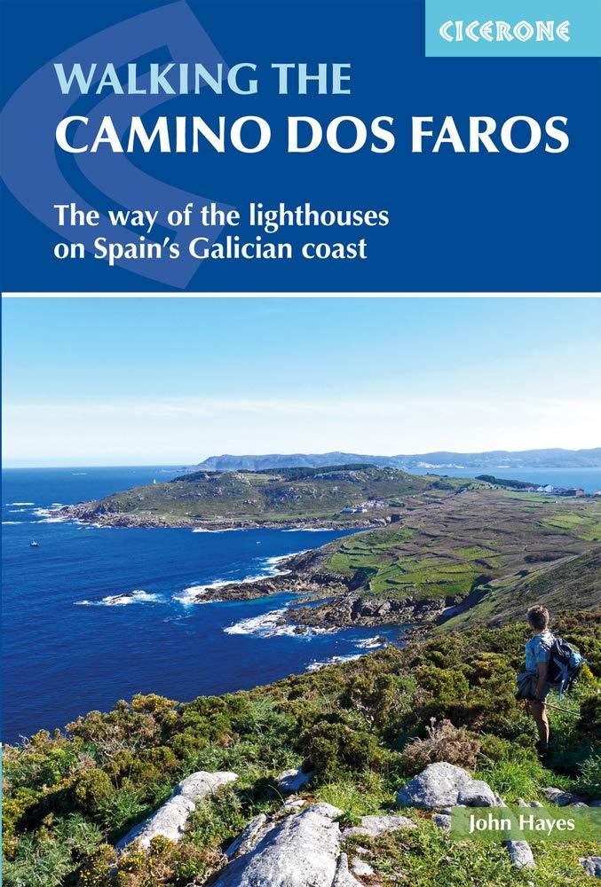
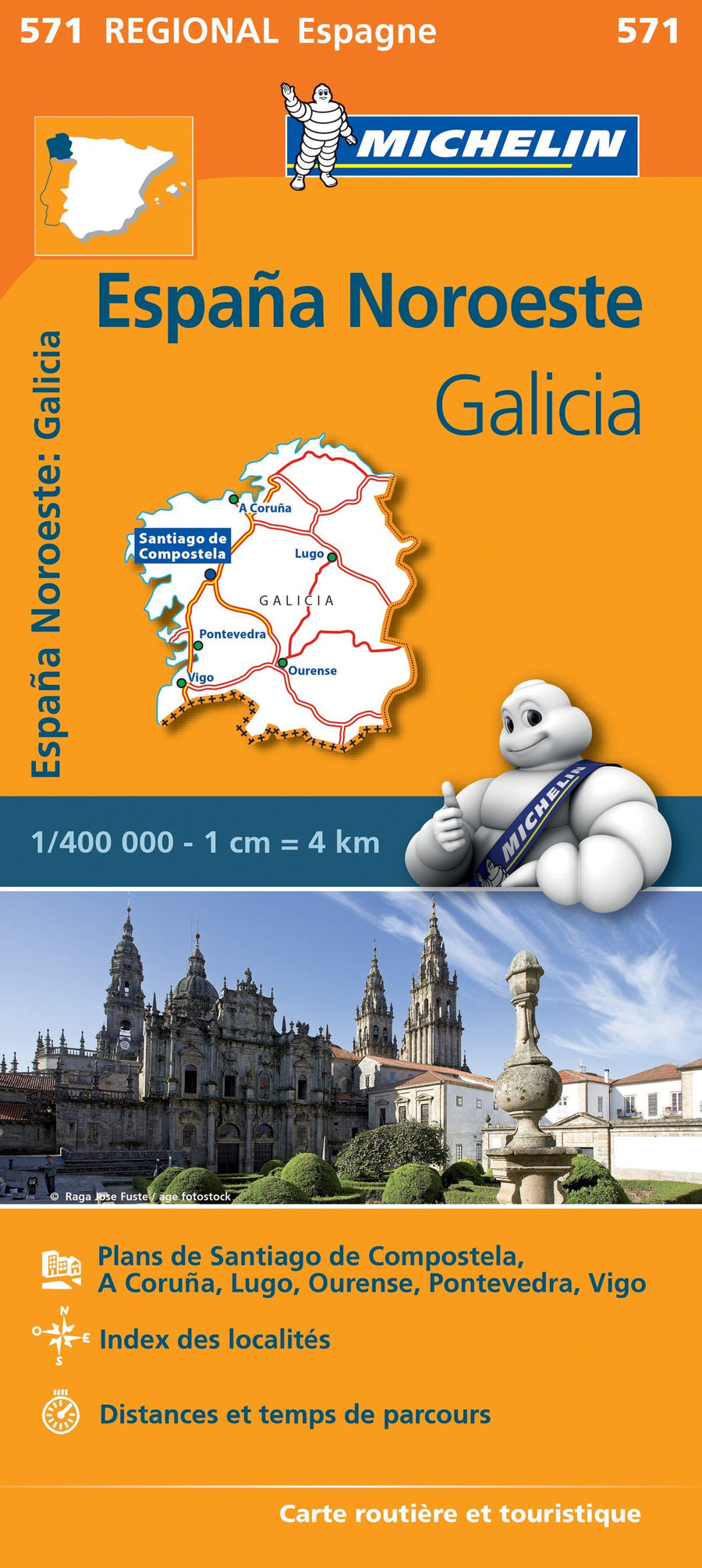
Topoguide (in English) of the Cicerone Publisher With detailed maps for hiking on the headlight path In Galicia.
The Guide Provids In - Depth Descriptions of the Road Alongside Clear Mapping to Aid Navigation. IT INCLUDES PRACTICAL INFORMATION FOR BOTH BEFORE AND DURING YOUR TRIP, AND DETAILS ABOUT WILDLIFE AND HISTORIC SITES ALONG THE WALK. In The Back of the ARE A Series of Appendices Listing Accommodation, Main Galician Festivals, and Useful Contacts.
THE CAMINO DOS FAROS FOLLOW THE WILD COAST OF THE COSTA DA DEAD, WHICH IS BATTERED BY STORMS RACING IN FROM THE ATLANTIC. For shipping it is one of the Worls Most Dangerous Coastlines and ITS Ominous Name Meaning 'The Coast of Death' is Well Desertved. 'DOS FAROS' REFERS TO A SERIES OF BEAUTIFULLY LOCATED LIGHTHIE THAT ATTEMPT TO WARN SAILORS OF THE PERILLES THAT AWAIT THEM. The Sea Has Shaped The Landscape and the Galician Culture, and The Locally Caght Seafood Including Razor Clams and Percebes Should Not Be Missed
Provided description:
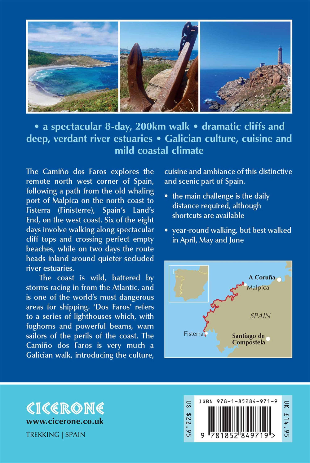
This guidebook explores The Camino Dos Faros (The Way of the Lighthouses), a 200km hike around the remote Northwest Corner of Spain. Starting in the Old Whaling Town of Malpica and End in Fisterra (Spain's Lans End), The Eight Day Hike Along The Costa da Dead Follows A Path That Sticks Limpet - like to the Atlantic Coast. It's a spectacular Walk Along Dramatic Cliffs and Around Deep, Verdant River Estuaries, Exploring The Rich Galician Culture and History. With Internships Between 18 and 29km Per Day, This Is A Hike Suitable for Walkers Willing To Underetake Reasonably Long Days and The Used Scramble Up and Down Beach Paths.
ISBN/EAN : 9781852849719
Publication date: 2019
Folded dimensions: 12 x 17cm
Language(s): English
Weight:
161 g


