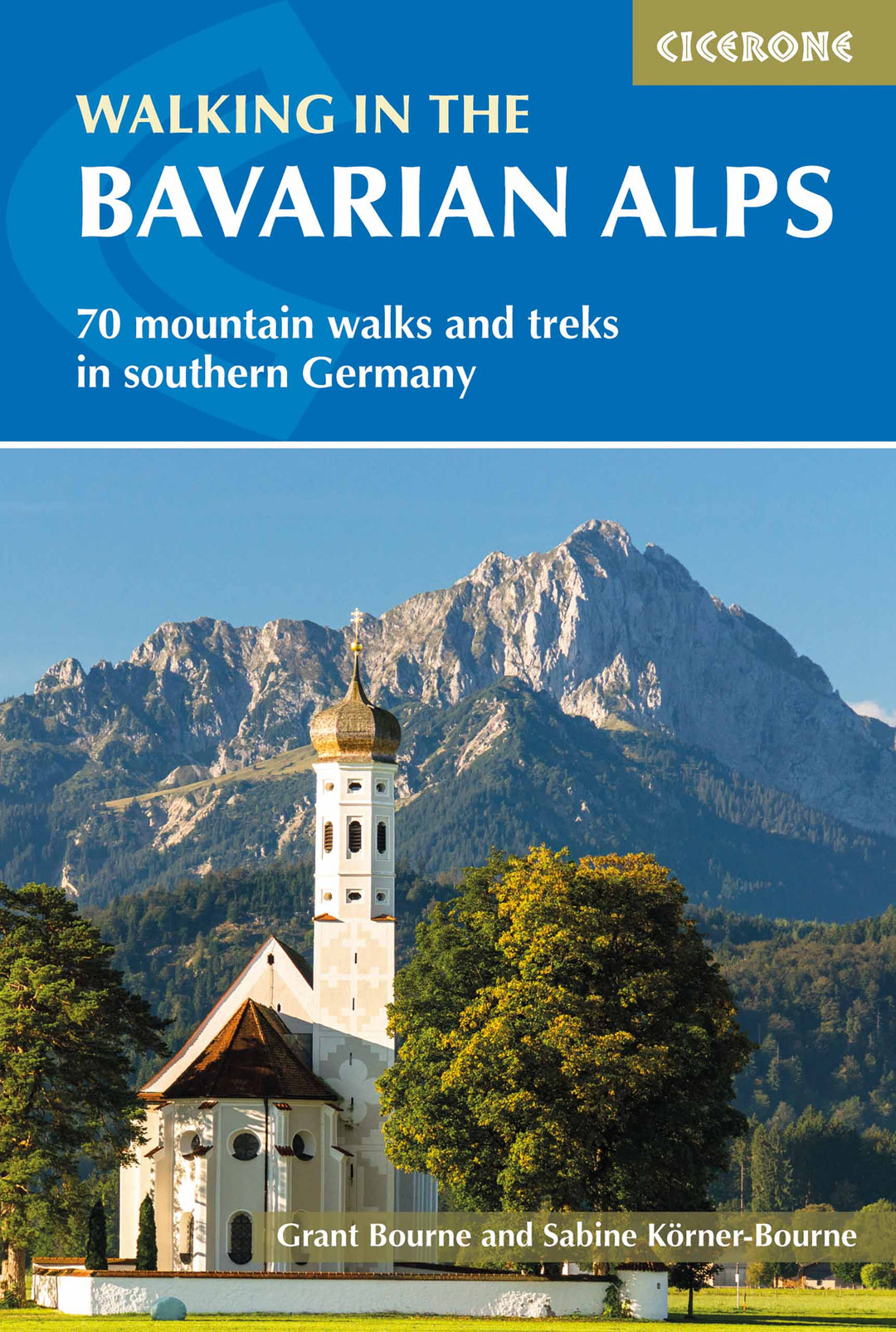
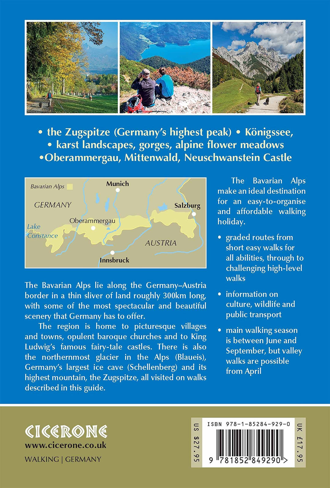
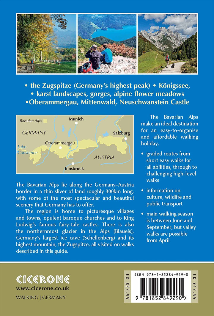
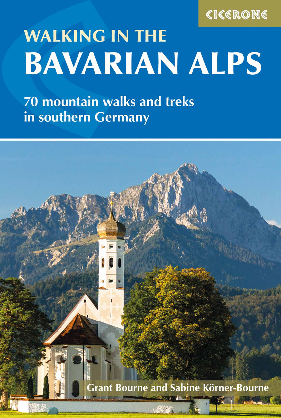
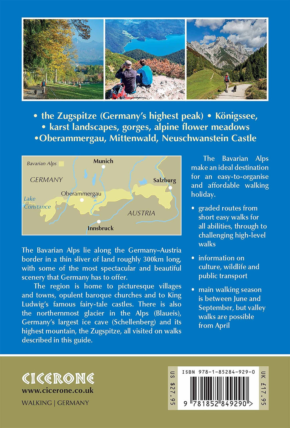
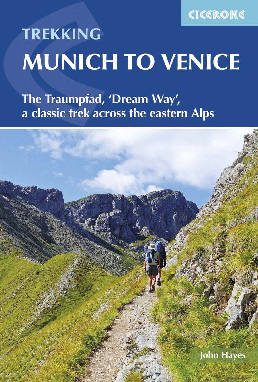
Topoguide (in English) Cicerone with detailed maps for hiking in The Bavarian Alps.
Description provided by the publisher:
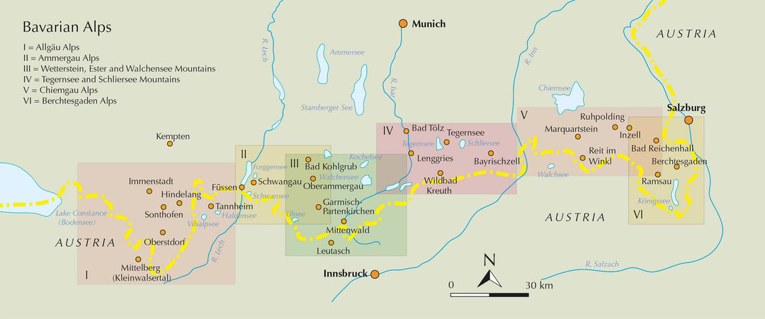
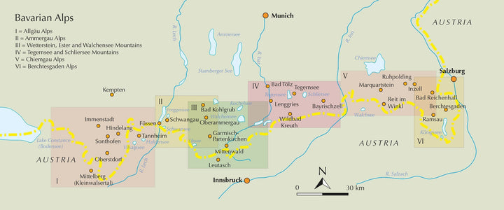
Guidebook to Mountain walks and Treks in the Bavarian Alps, ON The Border of Germany and Austria, Between Lake Constance and Berchtesgaden. Accessible from Munich, Salzburg and Innsbruck, These 70 Routes Range from Half - Day walks to 3 - Day Hut - to - Hut Treks. Highlights include The Königssee and Breitach, Partnach and Höllental Gorges.
Seasons: MOST VALLEY walks CAN BE CONTEMPTED EARLY IN THE SEASON (APRIL - MAY) The Majority of Roads are Best Walked from June - September Lower Altitudes Unil Mid - october
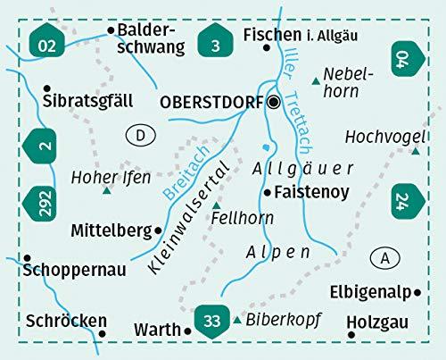
Centers: Oberstdorf, Riezlern, Tannheim, Füssen, Garmisch - Partenkirchen, Mittenwald, Walchensee, Lenggries, Tegernsee, Bayrischzell, Marquartstein, Reit im Winkl, Ruhpolding, Inzell, Bad Reichenhall, Ramsau, Berchtesgaden < BR> Difficulty: Valley walks Suitable for All Abilities hand roads are gradeed 1 - 3 NONE OF THE ROUTES Require Climking Skills, and NO Special Equipment Required
Must See: The Zugspitze (Germany's Highest Peak), Königssee (A Stunning Mountain Lake), Karst Landscapes, Picture - Book Towns Oberammergau and Mittenwald, Wild Mountain Gorges, Alpine Meadows, Neuschwanstein Castle, Folklore Traditions, Opulent Baroque Churches, Scenic Rack Railways and Exhilarating Multi - Day Tours.
ISBN/EAN : 9781852849290
Publication date: 2018
Folded dimensions: 12 x 17cm
Language(s): English
Weight:
389 g


