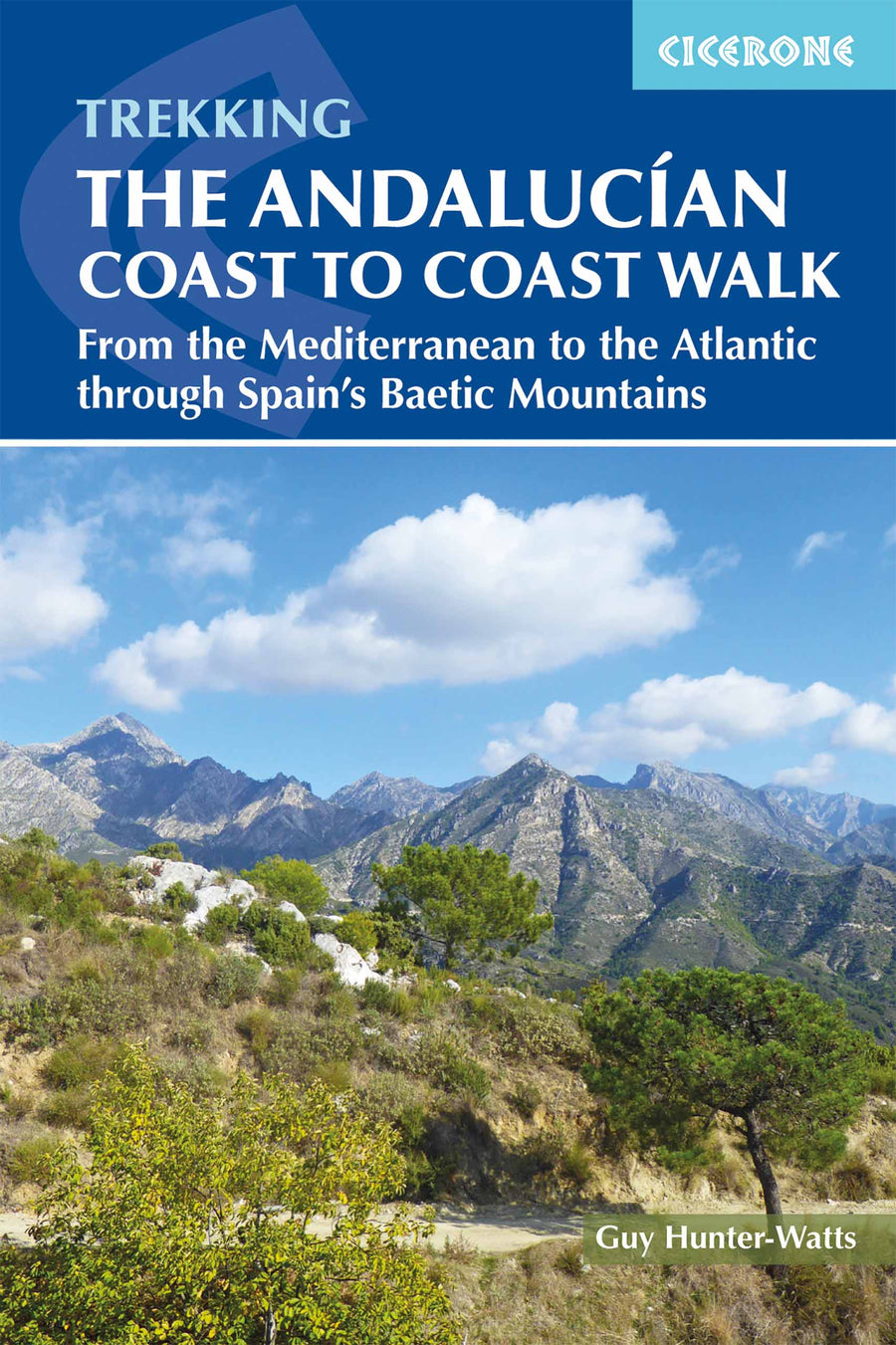
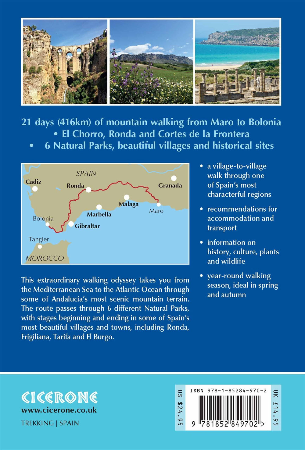
Topoguide (in English) Cicerone with detailed maps for hiking on the Andalusia coast.
Description provided by the publisher:
Guidebook to the Andalucian Coast to Coast Walk, 440 km, 21 - day Road from Maro on the Mediterranean Coast to Bolonia, ON The Atlantic. The Road, Which Passes Through 7 Natural Parks, Links Some of Andalucía's Most Beautiful Villages and Passes Historical Sites of Both Roman and Moorish Origins, Including Ronda and Tarifa.
Seasons: Andalucía's Mild Winter Climate Means That This Is A Region That Is Suited To Year - Round Walking, Apart from July and August When Temperatures Are Generally Too hot for comfortable hiking.
Centers: Frigiliana, Cómpeta, Alcaucín, Riogordo, Villanueva de la Concepción, El Chorro, Carratraca, El Burgo, Ronda, Montejaque, Cortes de la Frontera, Jimena de la Frontera, Castillo de Castellar, Los Barrios, Tarifa.
Difficulty: The Road Is Within The Capabilities of Anyone Who is Reasonably Fit and walks ON A Regular Basis. Internships Vary in Length from 14 km to 27 km, So All Can Be Comfortable Covered in A Day: Most ARE Graded Medium - Medium Difficulty, with Just a couple Graded Due to Length.
MUST SEE: Some of Andalucía's Most Beautiful Mountain Villages, Including Ronda, Frigiliana, Tarifa and El Burgo Arab and Roman Paths High Mountains Ocean Views Great Food and Accommodation Six Natural Parks Fascinating historical sites of Roman and Moorish Origin.
ISBN/EAN : 9781852849702
Publication date: 2018
Folded dimensions: 12 x 17cm
Language(s): English
Weight:
221 g


