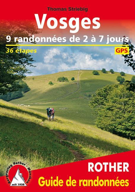
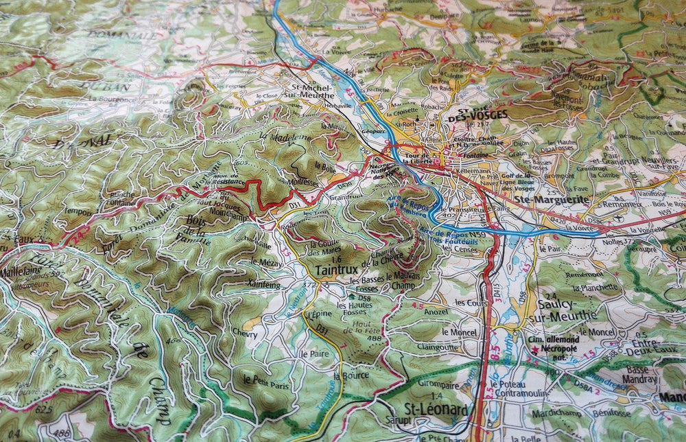
Hiking Guide - Vosges, 9 Hiking from 2 to 7 days | Rother (French)

Guide de randonnée - Vosges, 9 randonnées de 2 à 7 jours | Rother guide de randonnée Rother

Hiking Guide - Vosges, 9 Hiking from 2 to 7 days | Rother (French)

Regular price $19.00
/
  • Shipping within 24 working hours from our warehouse in France
  • Delivery costs calculated instantly in the cart
  • Free returns (*)
  • Real-time inventory
  • In stock, ready to ship
  • Inventory on the way
Tax included.

Often purchased together:

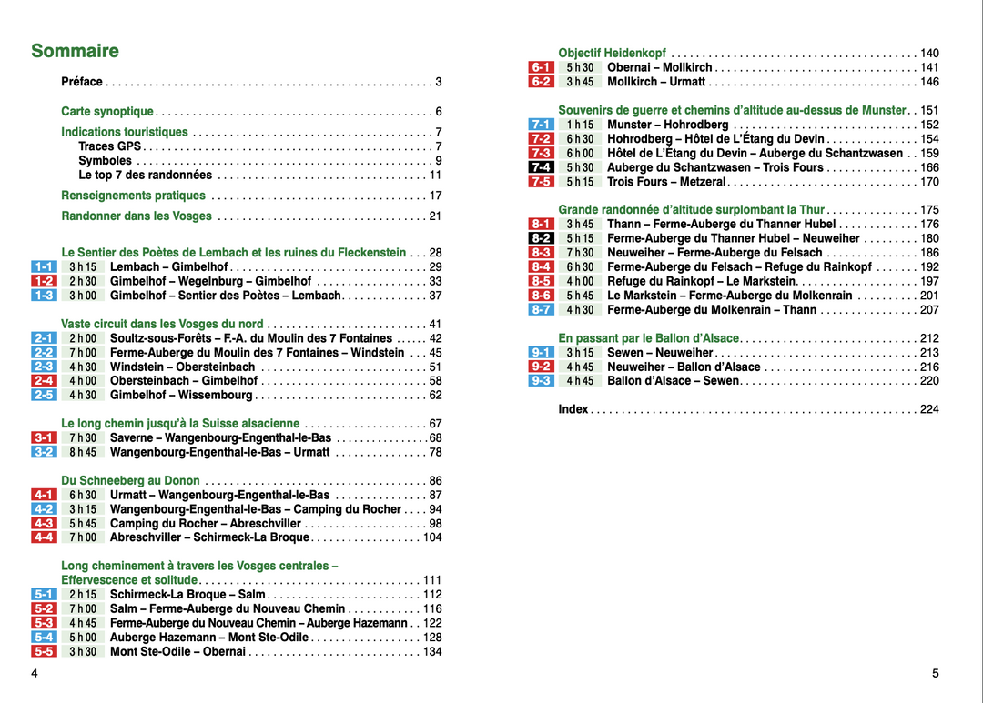
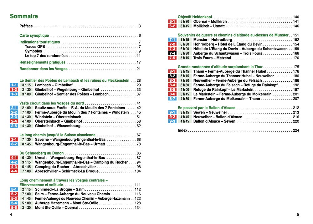
Hiking guide that offers 9 hikes well explained in the Vosges.

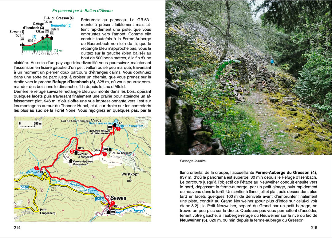
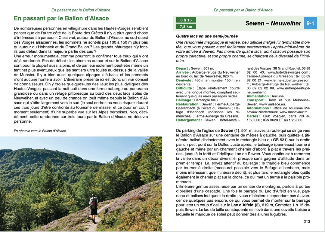
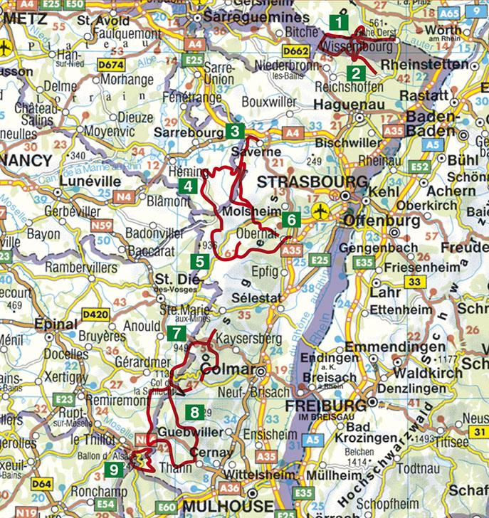
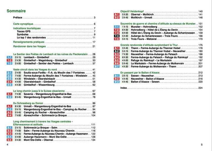
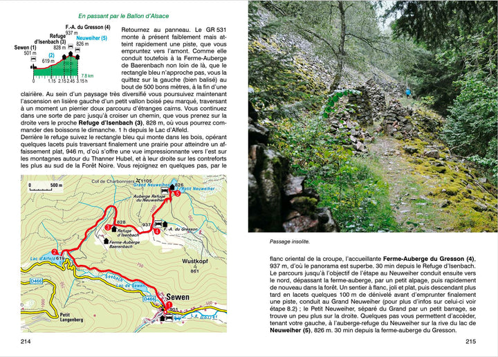
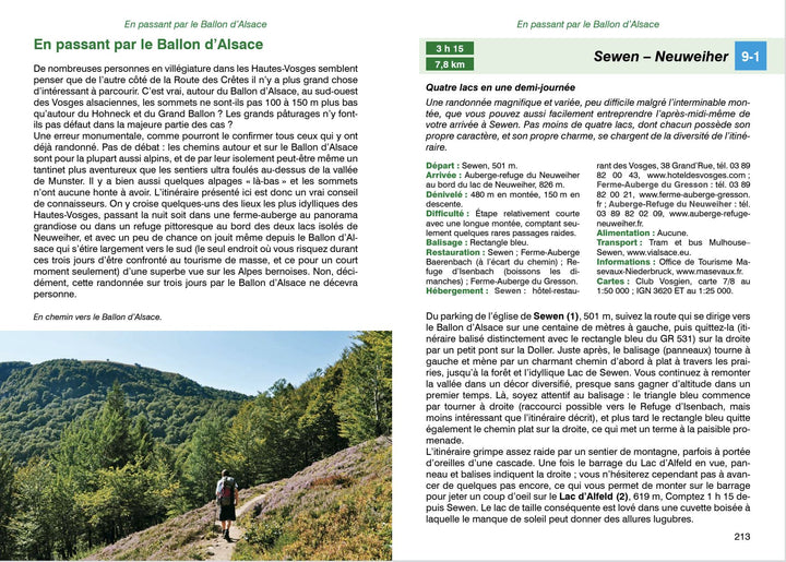
232 pages, 97 color photos, 36 altitude profiles, 54 maps at 1:50 000, a synoptic map

All the pleasure of hiking in beautiful landscapes, with the famous Alsatian cuisine as a bonus for (re) take strength: the Vosges are perfect for the vast itinerants. During days, silence with a loss of sense will be your most faithful companion, through lush forests and dreamed villages, and sometimes even by picturesque mountain trails in a wild and unpublished natural environment. This rother guide describes nine original hiking routes and variegated in the Vosges. These circuits last two to seven days, and, depending on your mood, can be shortened at will, or combined with each other. Families looking for children adapted to children will find happiness, just like experienced hikers. Next to the classics crossed by Alsace's balloon or large balloon, less known and less frequented paths discreetly expect to be discovered. The courses are riddled with curiosities: castles and small cities of charm invite to some cultural detours. The hikers will also be spoiled from a culinary point of view: even in the most isolated places is an inn whose delicious cuisine amazes the taste buds. The routes and each of their steps have accurate descriptions of the courses, relevant altimetric profiles and maps containing the route of the circuits. and in addition to infrastructure information as well as on accommodation, Tourist attractions, public transport links, and shortcut or combination possibilities.

GPS coordinates are downloadable for all routes on the publisher website.


ISBN/EAN : 9783763349593
Publication date: 2019
Pagination: 232 pages
Folded dimensions: 12 x 17cm
Language(s): French
Poids : 172 g

Customer Reviews

No reviews yet
0%
(0)
0%
(0)
0%
(0)
0%
(0)
0%
(0)
Carte détaillée - Ballons des Vosges à vélo | IGN carte pliée IGN
Detailed map - Vosges Bicycle Balls | IGN
IGN
$11.00
Carte TOP 75 n° 28 - Vosges du Sud, Ballon d'Alsace, Le Hohneck | IGN carte pliée IGN
Top 75 # 28 - Southern Vosges, Alsace Ball, Hohneck | IGN
IGN
$11.00
Sold Out
Guide de randonnée - Vosges, 9 randonnées de 2 à 7 jours | Rother guide de randonnée Rother
Hiking Guide - Vosges, 9 Hiking from 2 to 7 days | Rother (French)
Rother
$19.00
Carte de randonnée n° 2222 - Vosges du Sud (Colmar, Mulhouse) | Kompass carte pliée Kompass
Carte de randonnée n° 2222 - Alsace, Vosges de Sud (Colmar, Mulhouse) | Kompass carte pliée Kompass
Hiking Map # 2222 - Alsace, Southern Vosges (Colmar, Mulhouse) | Kompass
Kompass
$17.00
Carte Supertrail - Vosges, Lac Blanc | Supertrail Map carte pliée Supertrail Map
Vosges, White Lake | Supertrail Map
Supertrail Map
$22.00
Recently viewed